Mt. Mitake, Mt. Odake, and the Nokogiri ridge.
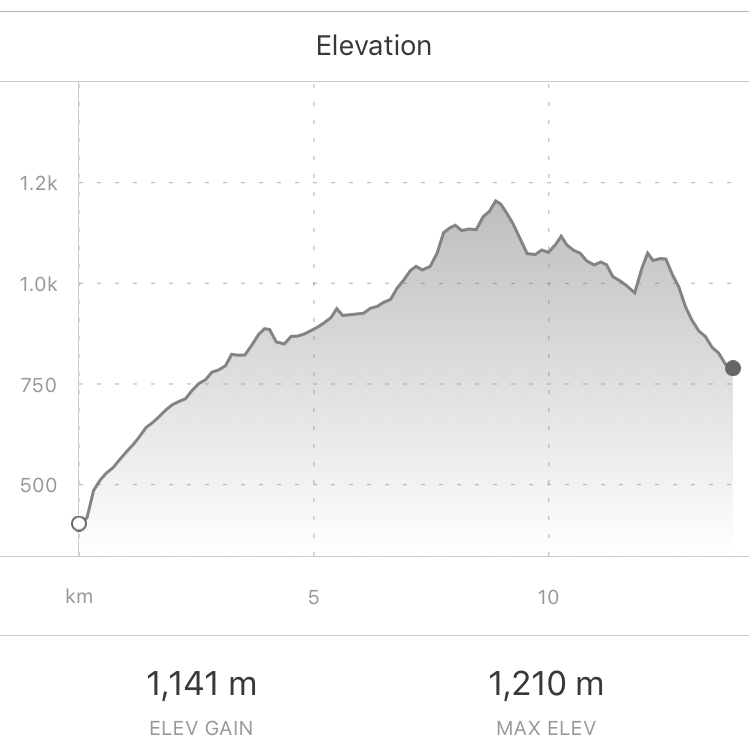
Location - Okutama area (奥多摩町) Start - Mitake Train Station (御嶽駅) Finish - Okutama Train Station (奥多摩駅) Walking Time - 6 hours Difficulty : Moderate to Difficult - Some steep rocky sections, higher elevation upto 1250m, ~15km distance
Getting There
Take the JR Chuo line From Shinjuku station, Tokyo. Change at Tachikawa to the Ome line to Mitake station. Total train time approx 1hour 45mins to 2 hours.
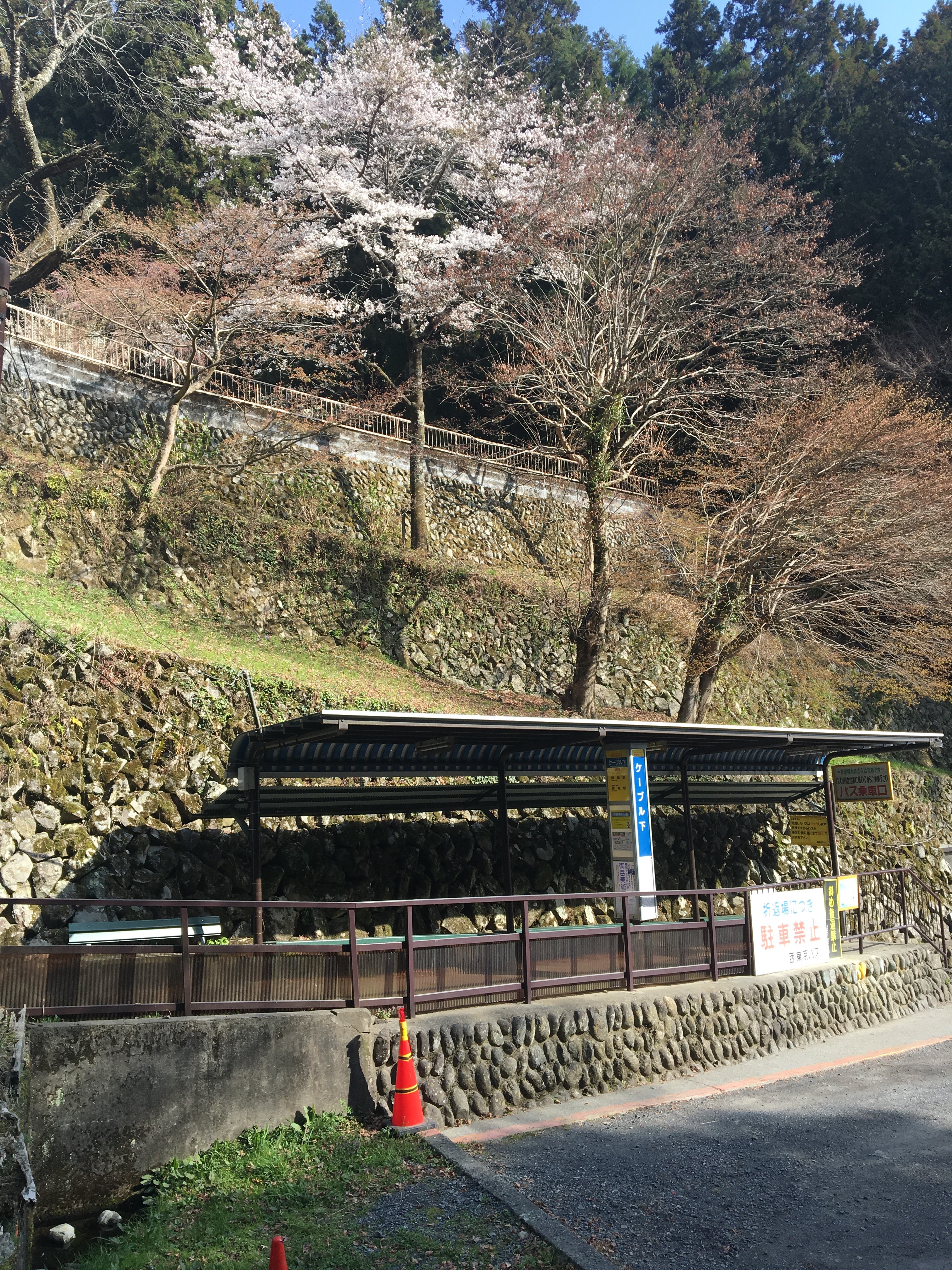
Leaving Mitake station, cross the road and head left to the bus area. Catch the 10min bus ride to Mitake Tozen cable car lower station. The bus stop a short walk from the cable car station :
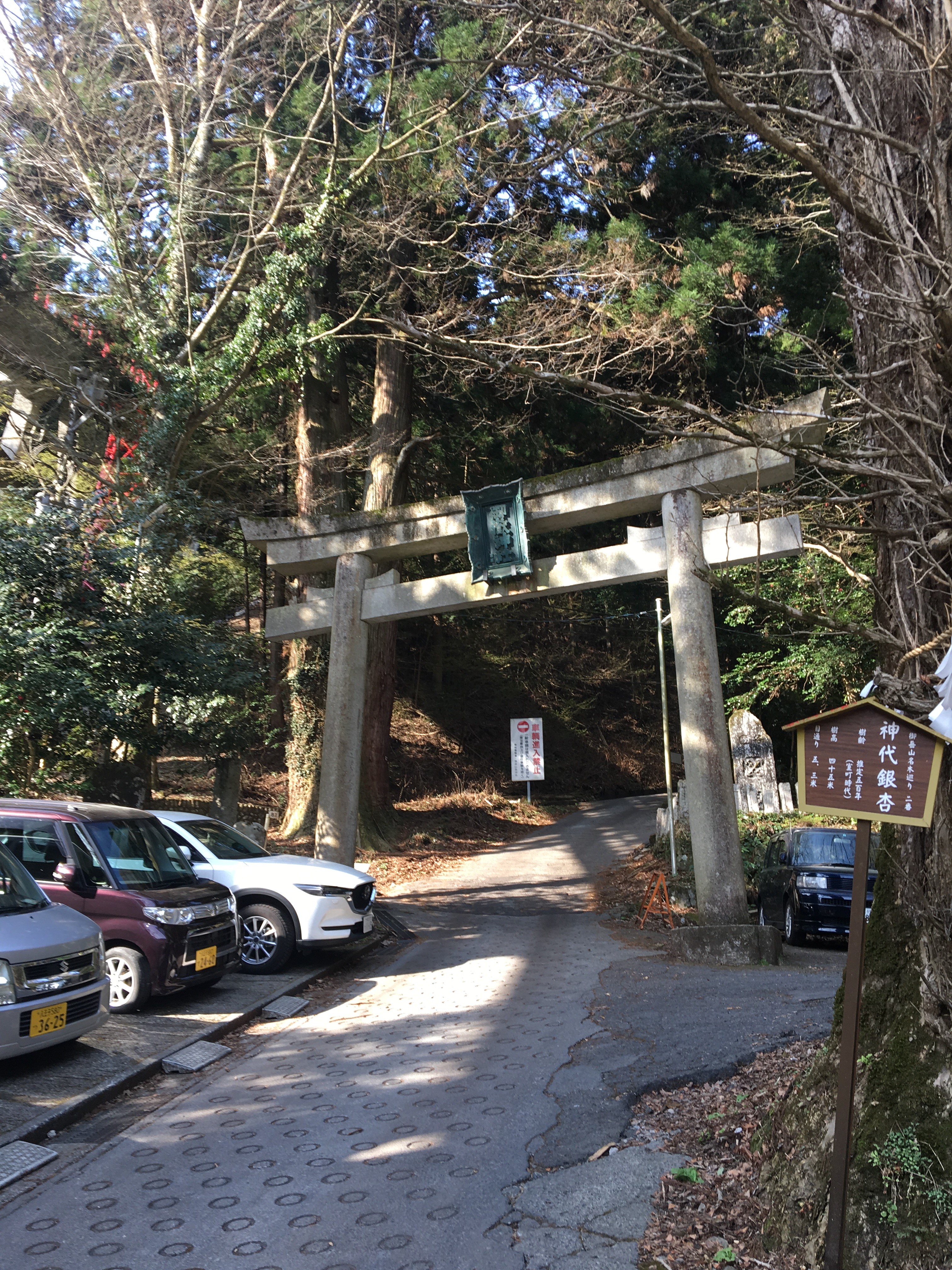
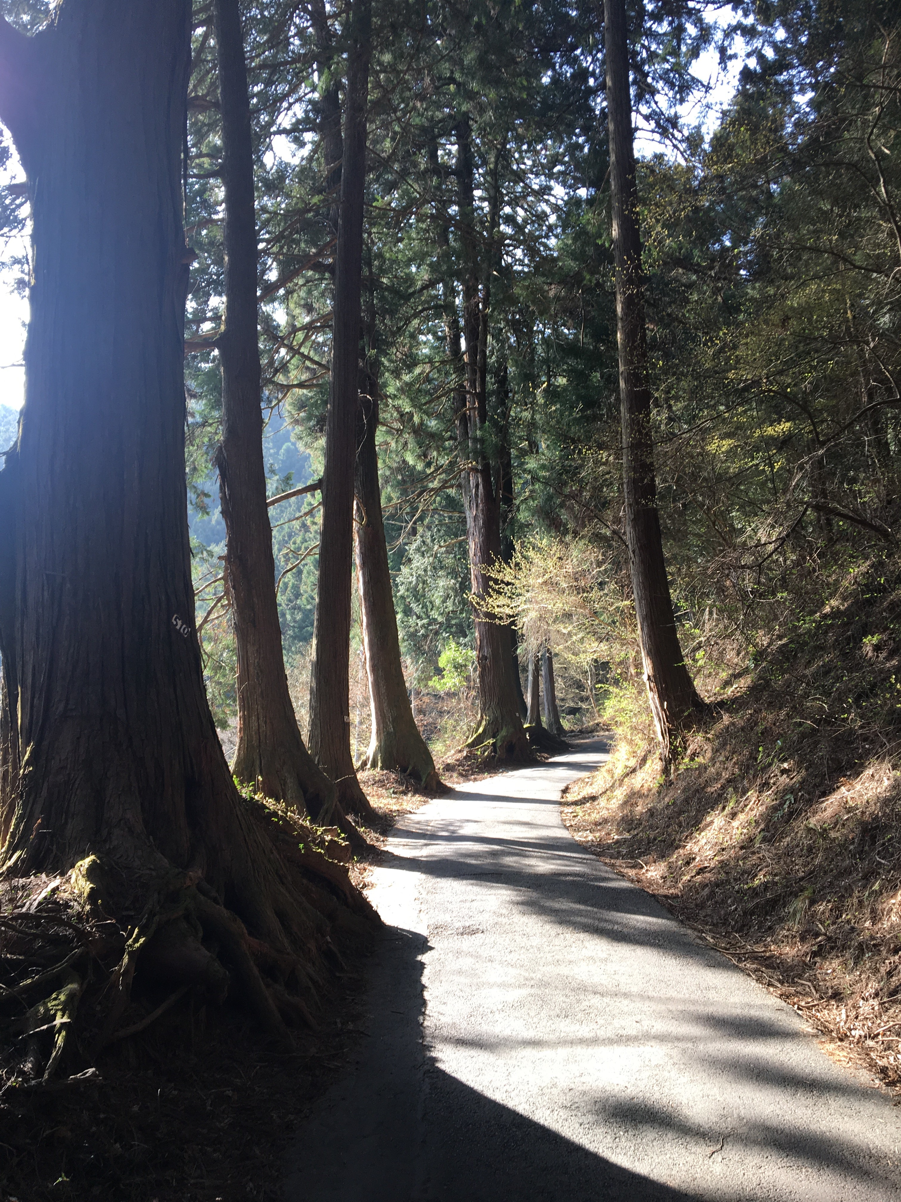
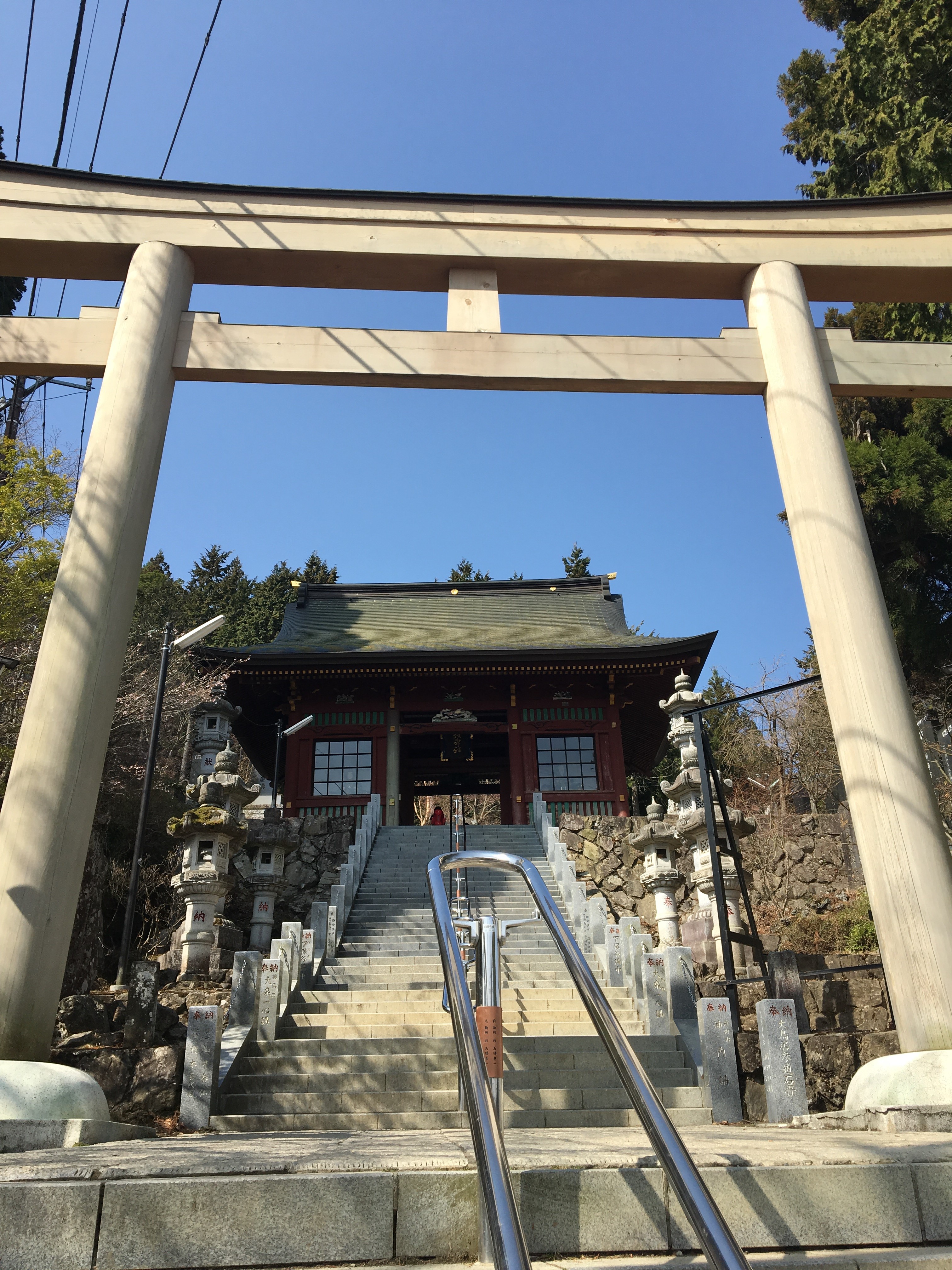
Take the short walk up the steep hill from the bus stop, pass the cable car entrance on the right, ( cable cars are for wimps ), and then turn left, through the old gateway. Follow the winding forest road for about 50mins until arriving at the shrine near the top of Mt. Mitake.
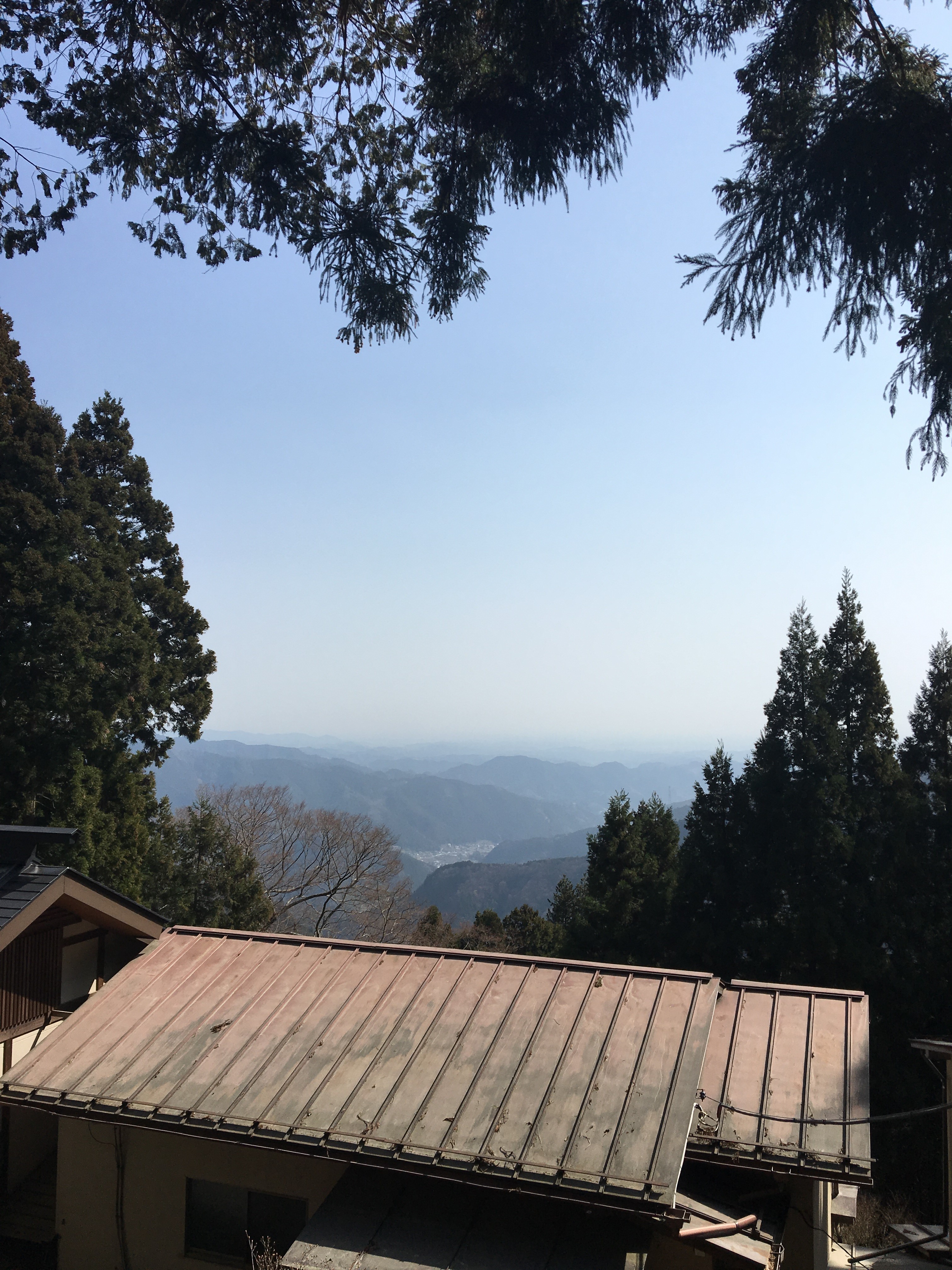
Follow the steps up the shrine and and continue heading up and around to the left, there is a 20min walk or so through the winding streets of Oshi village, with some glimpses of far off views over the roof tops
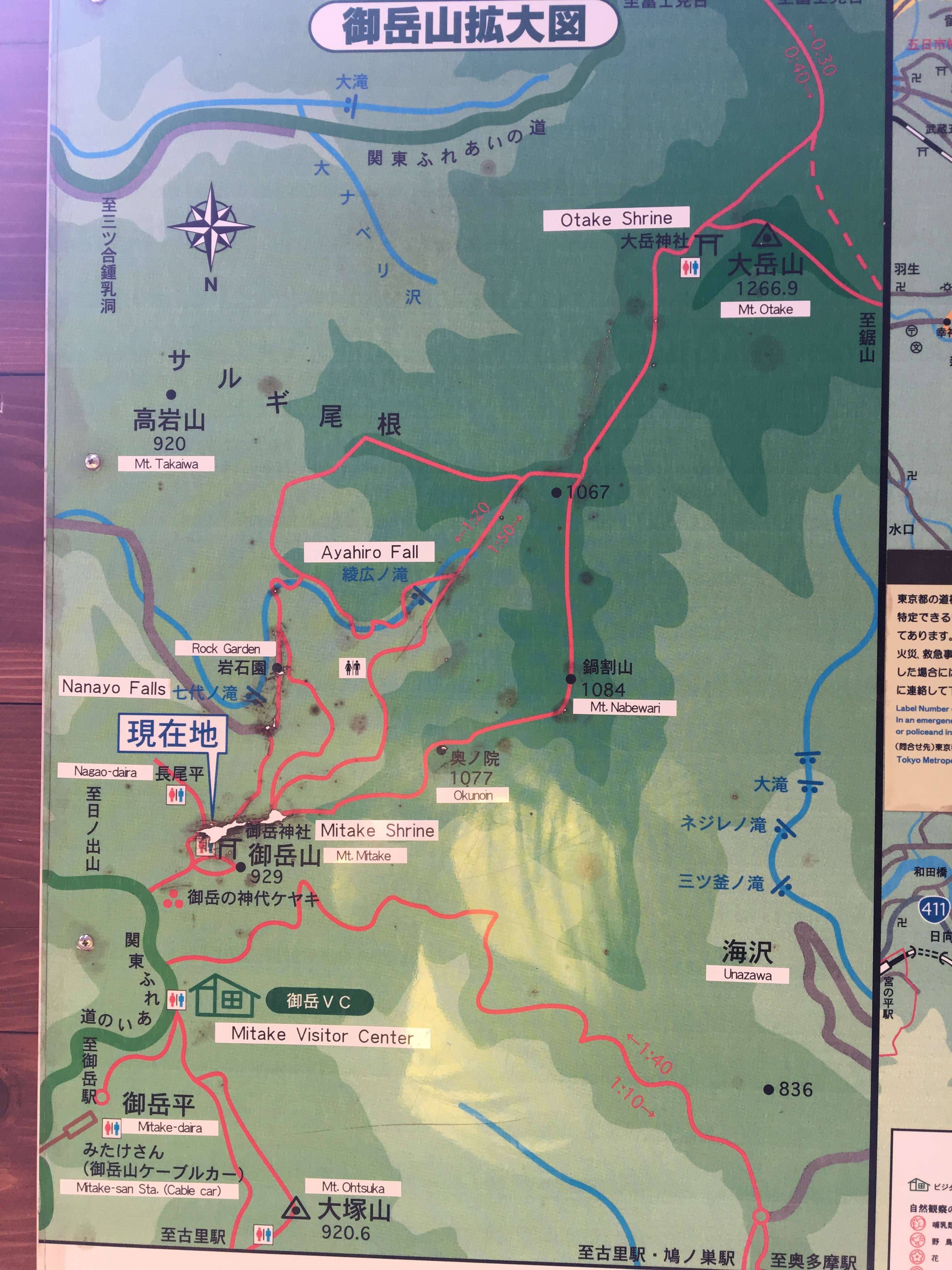
Follow signs for Mt. Odake, after leaving the village the trail turns to forest path again, there are few options presented on how to get to Mt Odake from here, via some waterfalls and rock gardens, via another couple of peaks, or more direct, as shown by this handy map found on the route :
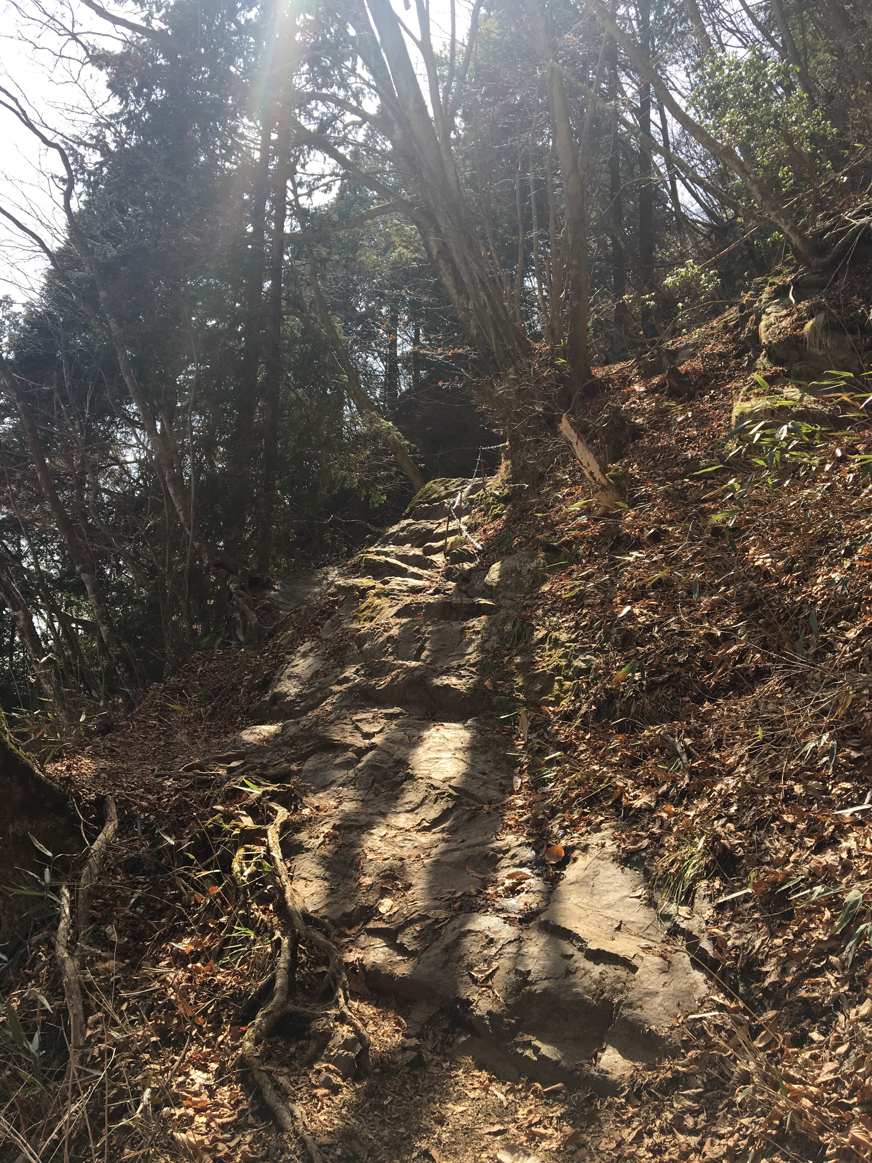
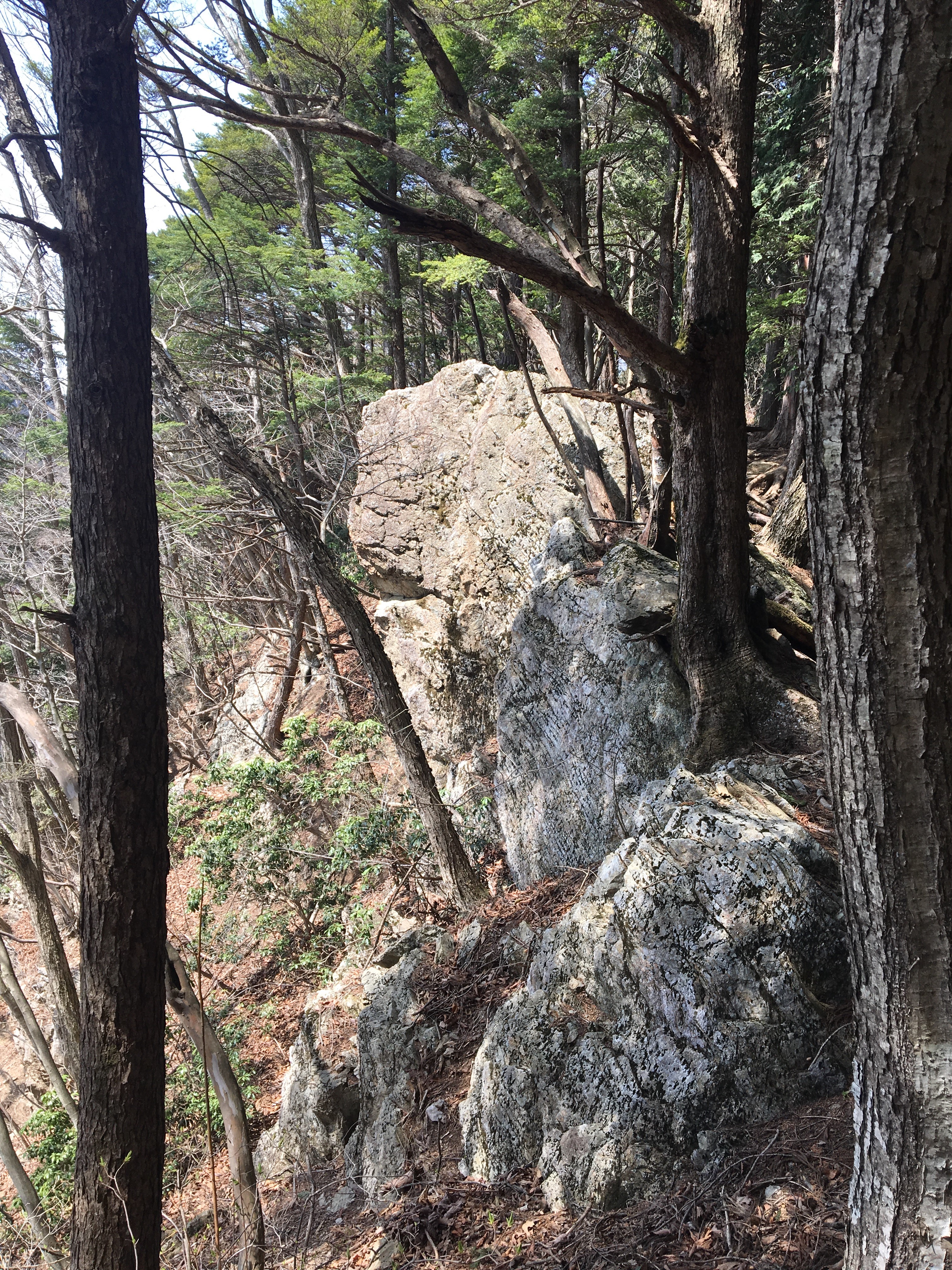
Taking the direct route, the trail continues for a few kilometres, before entering a clearing, here there is an old shrine and some places to sit and catch breath, worth a rest here as the next section is the final steep climb to the top of Mt Odake. Some sections have chains to help clamber over the steep rocky sections.
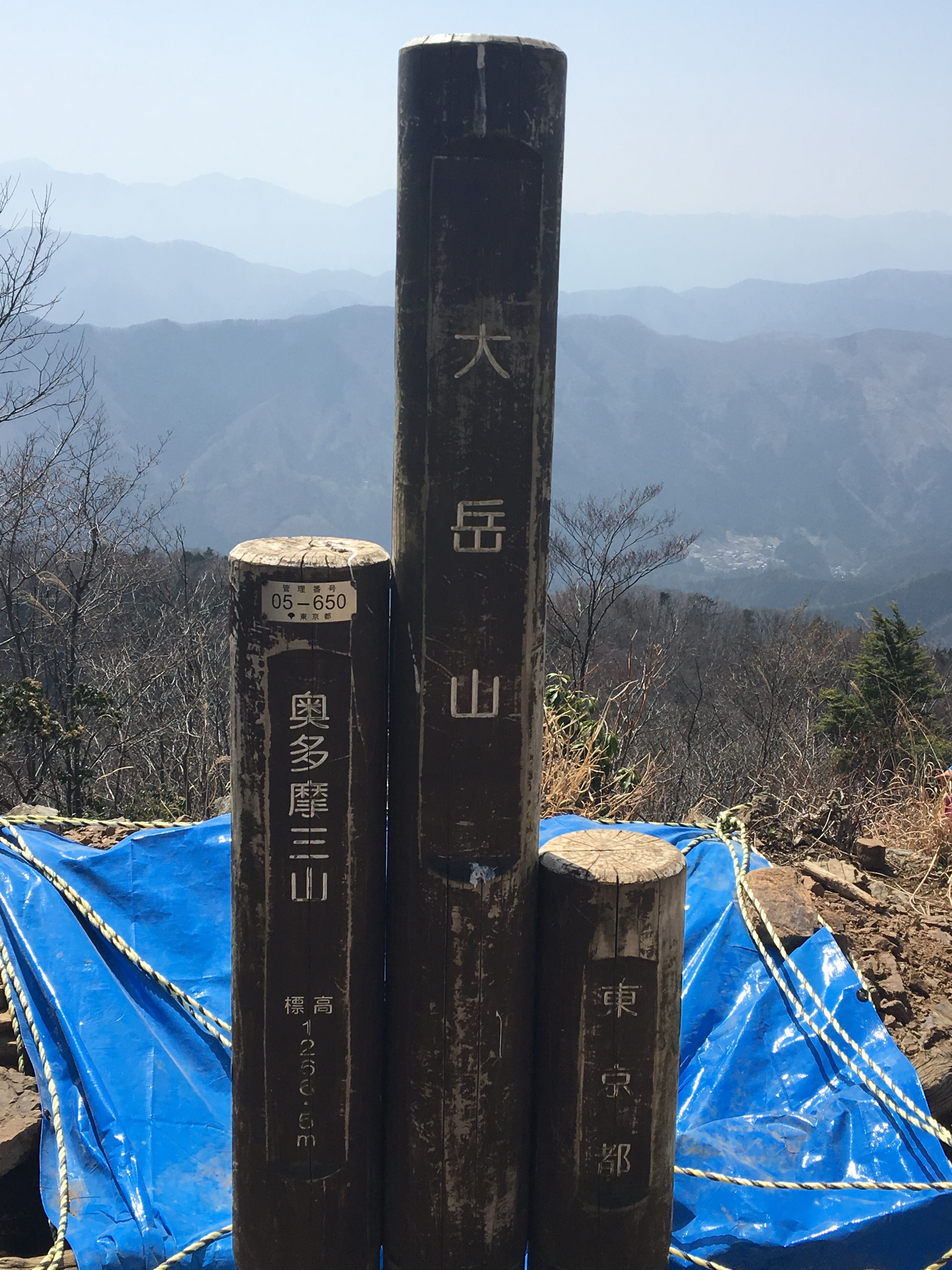
The climb is rewarded with some great views from the 1256.5m summit :
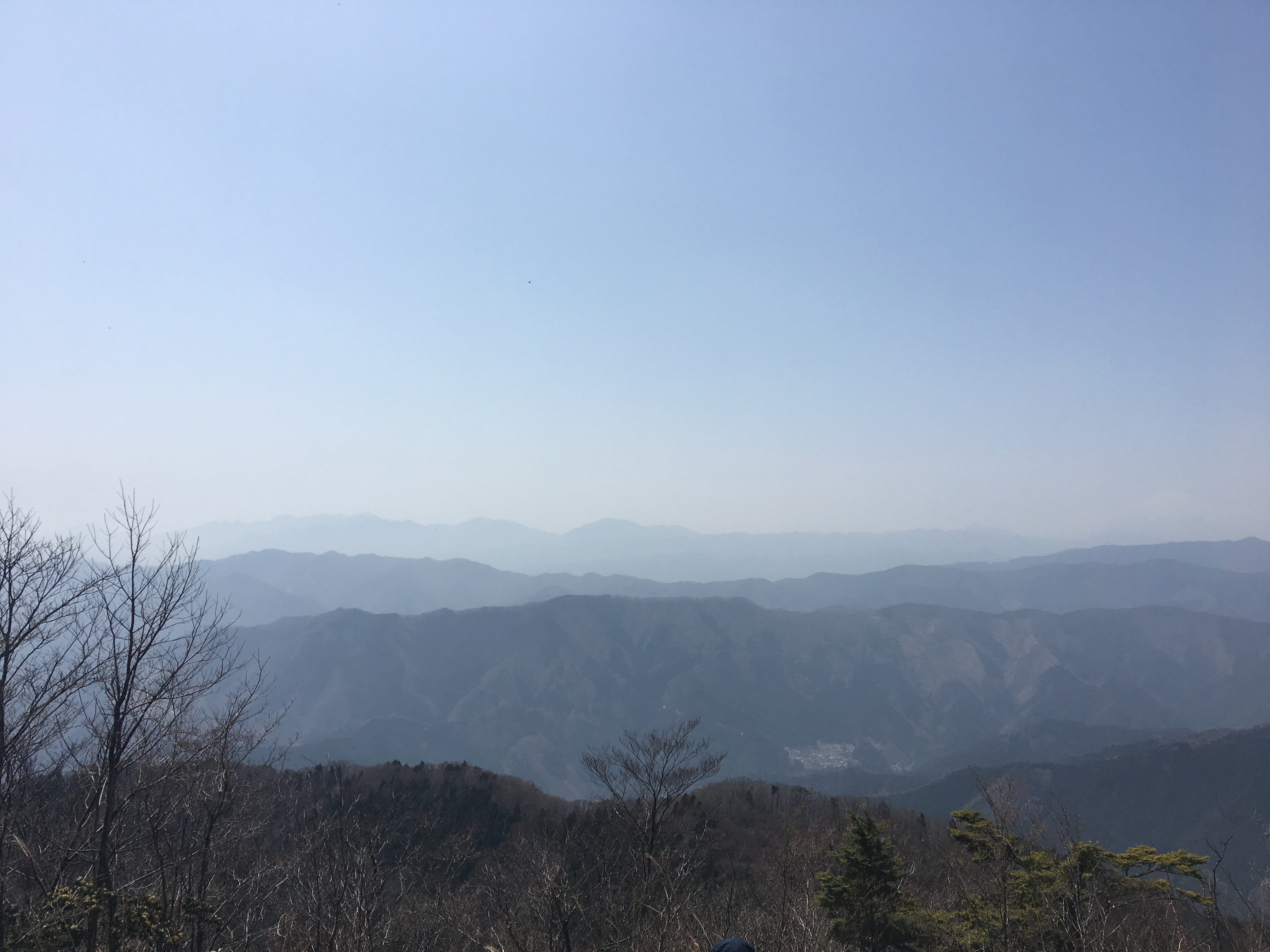

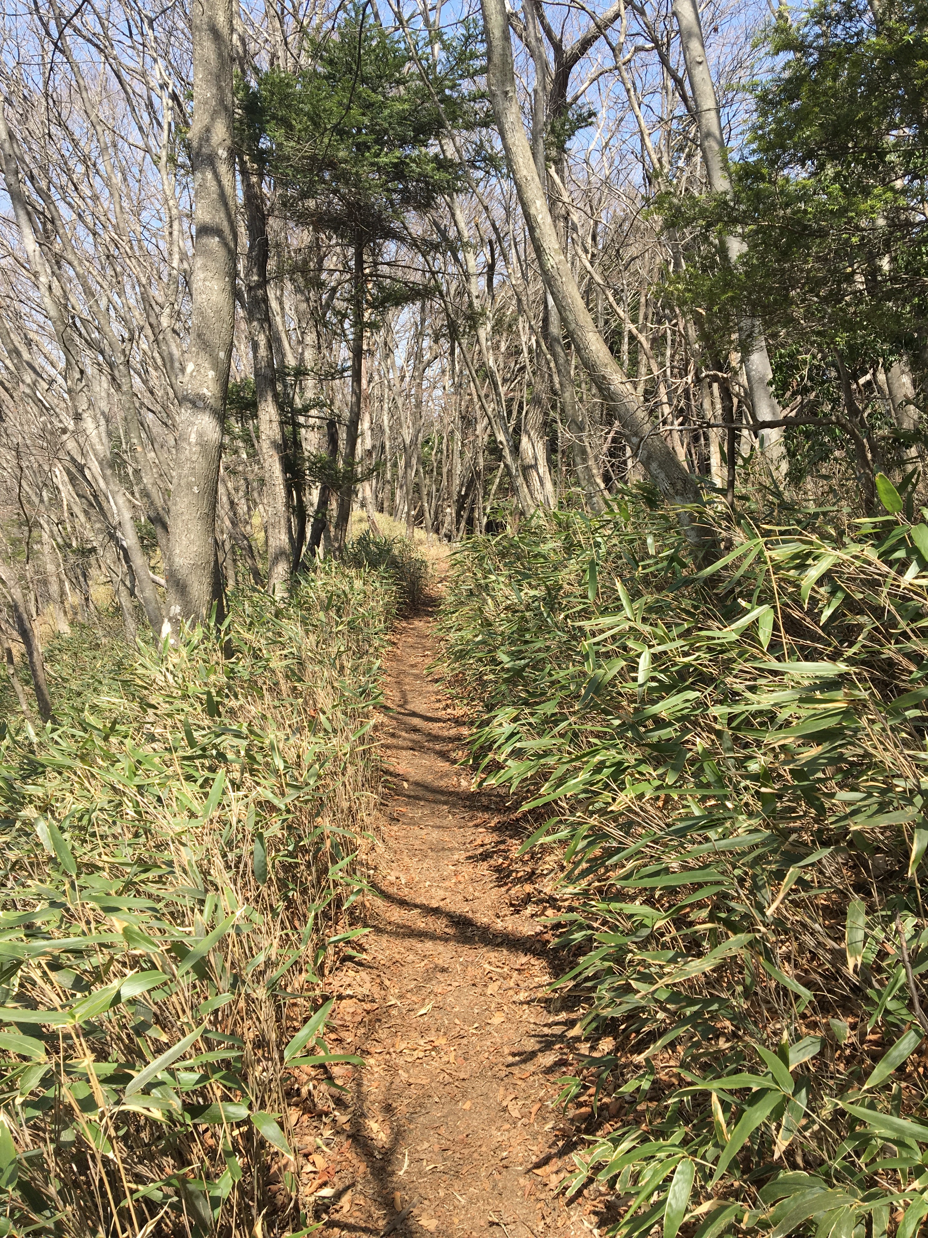
From Mt Odake, it is a few more kilometeres of ridgeline trail along the Nokogiri ridge to Mt. Nokogiri. The Nokogiri ridgeway is a nice section to hike, some gentle trail with some more challenging sections
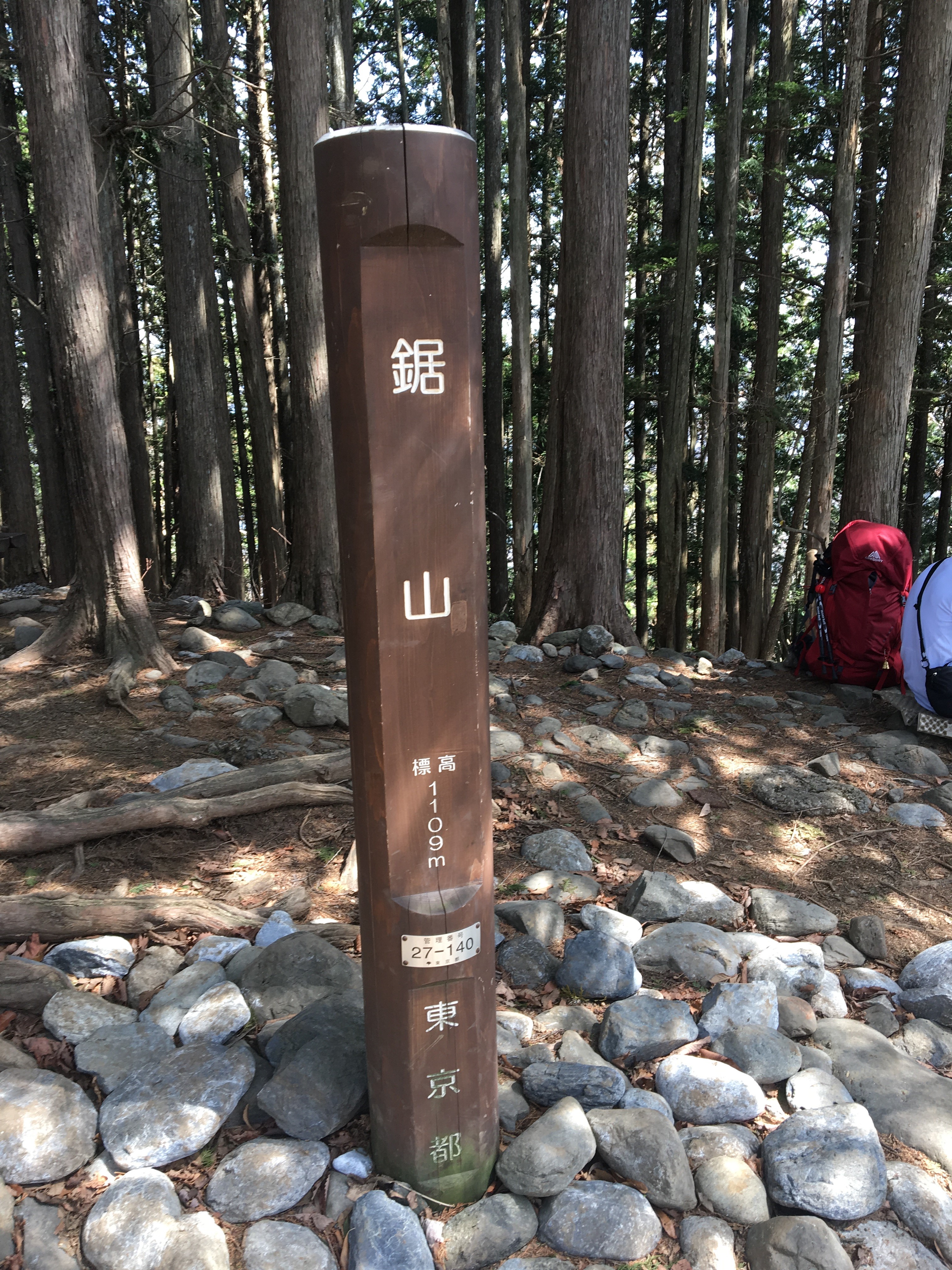
Mt Nokogiri doesnt have any views, and is really just a small clearing at the peak, not much to do or see here than take a quick rest and continue on the way
From Mt Nokogiri, there is a few kilometeres of ridgeway, and then a descent down through forest which eventually opens out to a small winding road which leads to the main road running through Okutama town in the valley below.
Getting Back
When hitting the main road, head right, and cross a couple of bridges, at the end of the second bridge turn left, and the station is a short way up that road, ( it is well signed after the first bridge ).
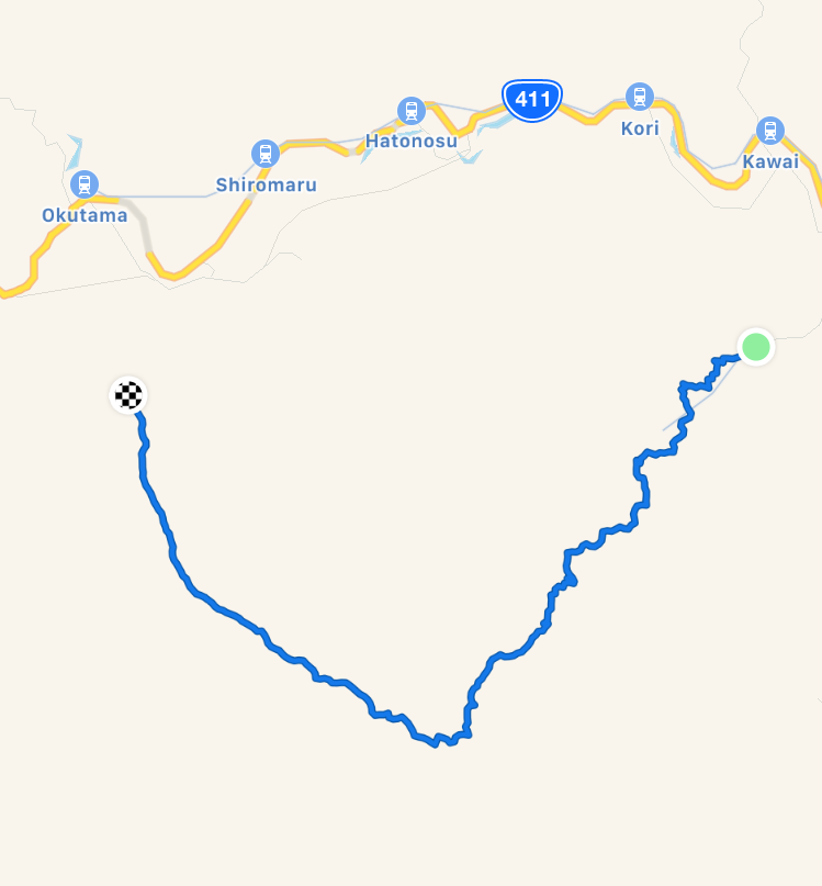
Route Overview and Profile ( note, due to phone battery life issues, the last section was not recorded, but Okutama station can be seen on the map )
