Mt Oyama and Mt Sannoto
Location - Hadano (秦野市) area, Kanagawa
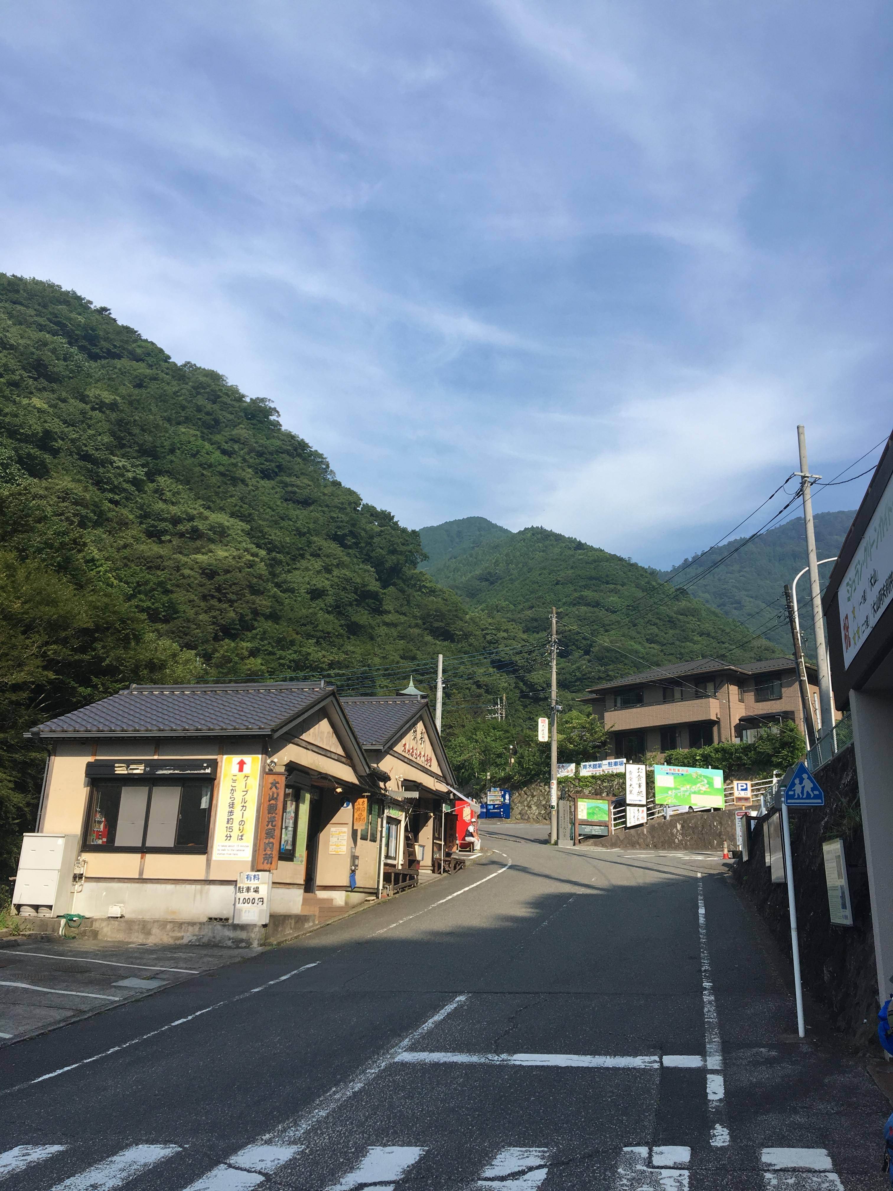
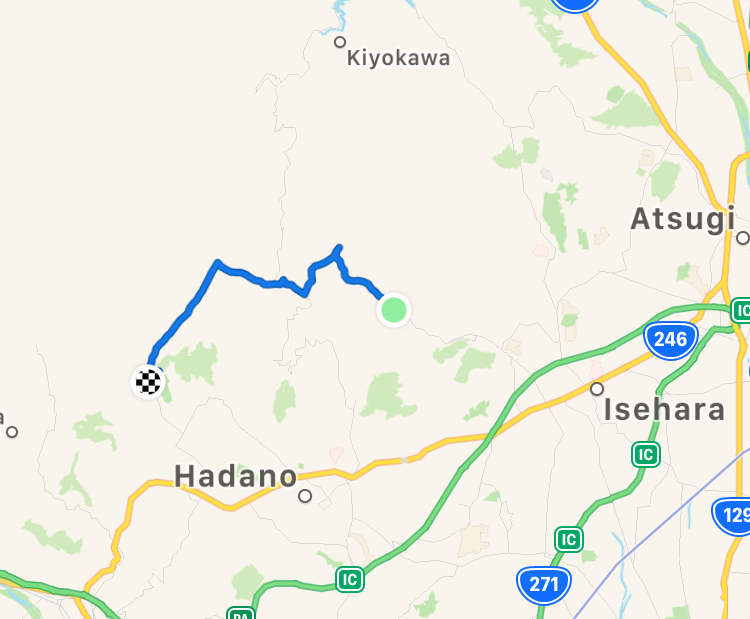
Start - Oyama cable-car station bus stop
Finish - Okura Bus terminal (大倉 バス)
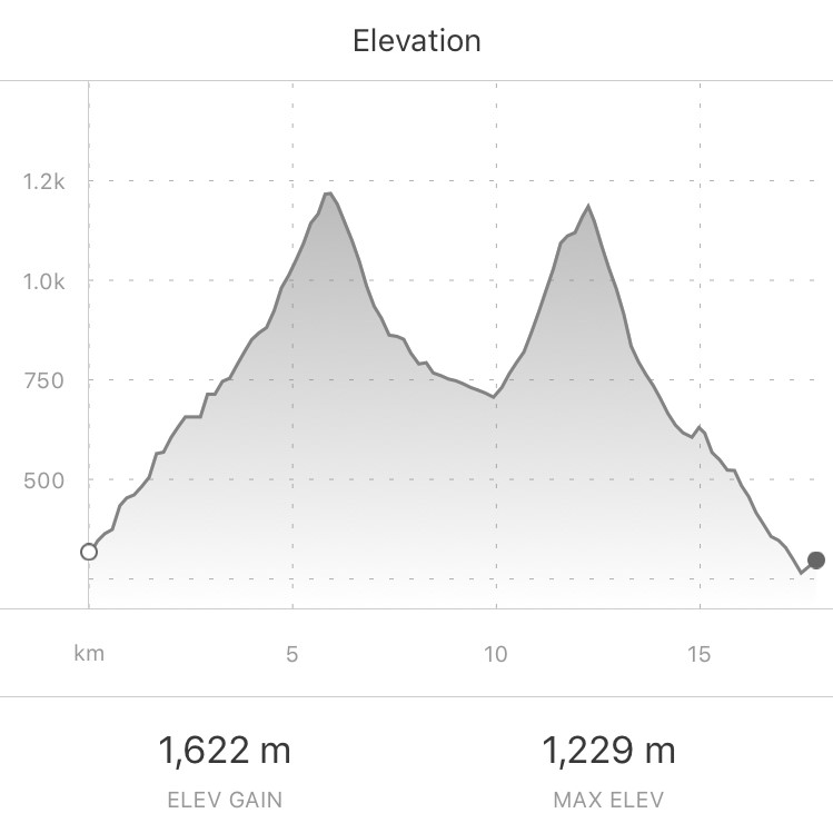
Walking Time - Approx 6 hours Difficulty : Moderate to Difficult 4/5 - approx 18km total distance, approx 1600m elevation gain, upto approx 1230m elevation. Some prolonged steep sections, and 7km downhill leg to finish.
Getting There
Take Odakyu line train from Shinjuku, Tokyo heading west to Isehara station, approx 60mins. At Isehara stn turn right through the ticket gates, left at the bottom of the steps at the exit, and walk a short distance to the bus stop, catch a bus to Oyama cable car station, approx 25mins.
The Hike
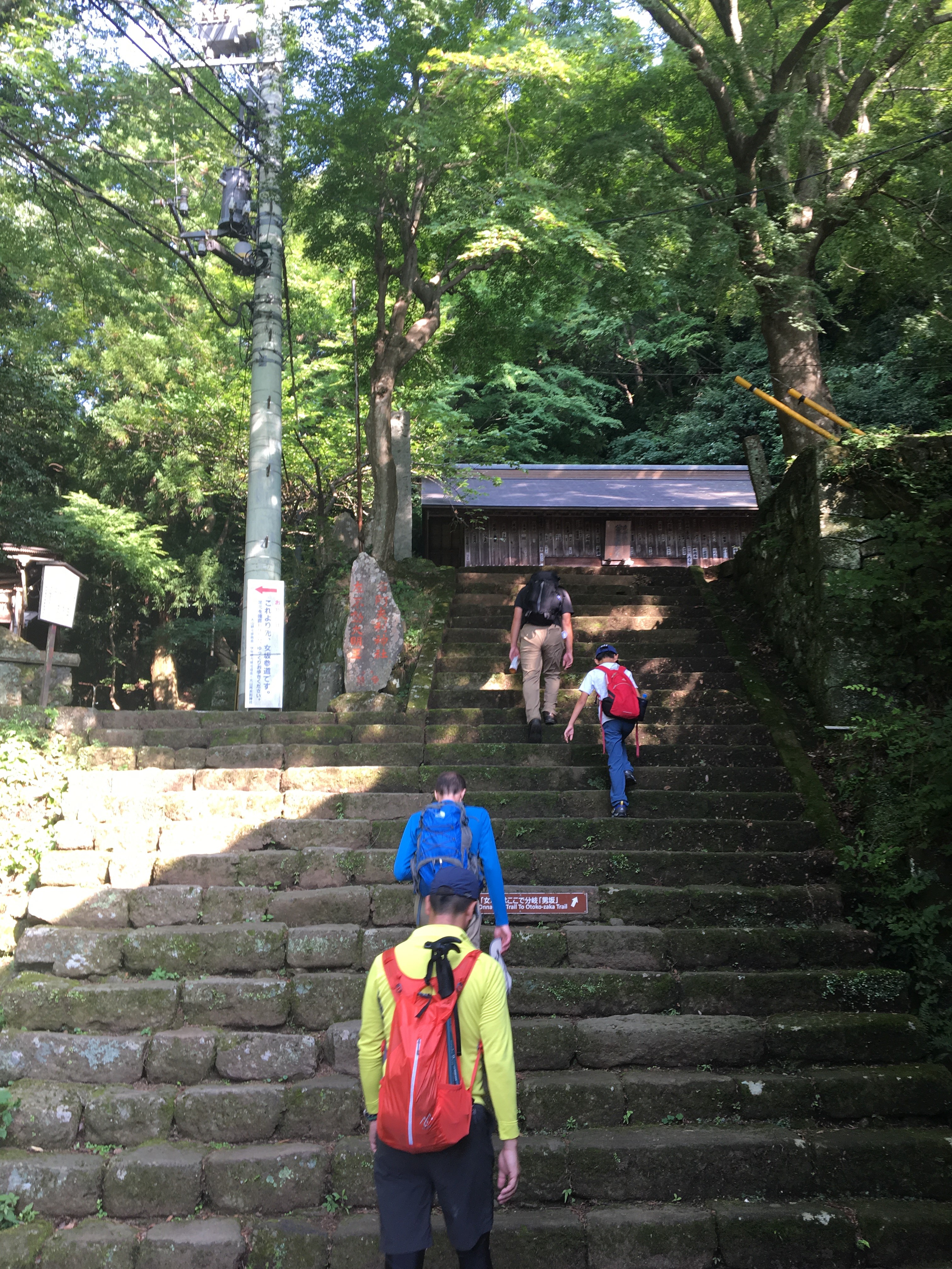
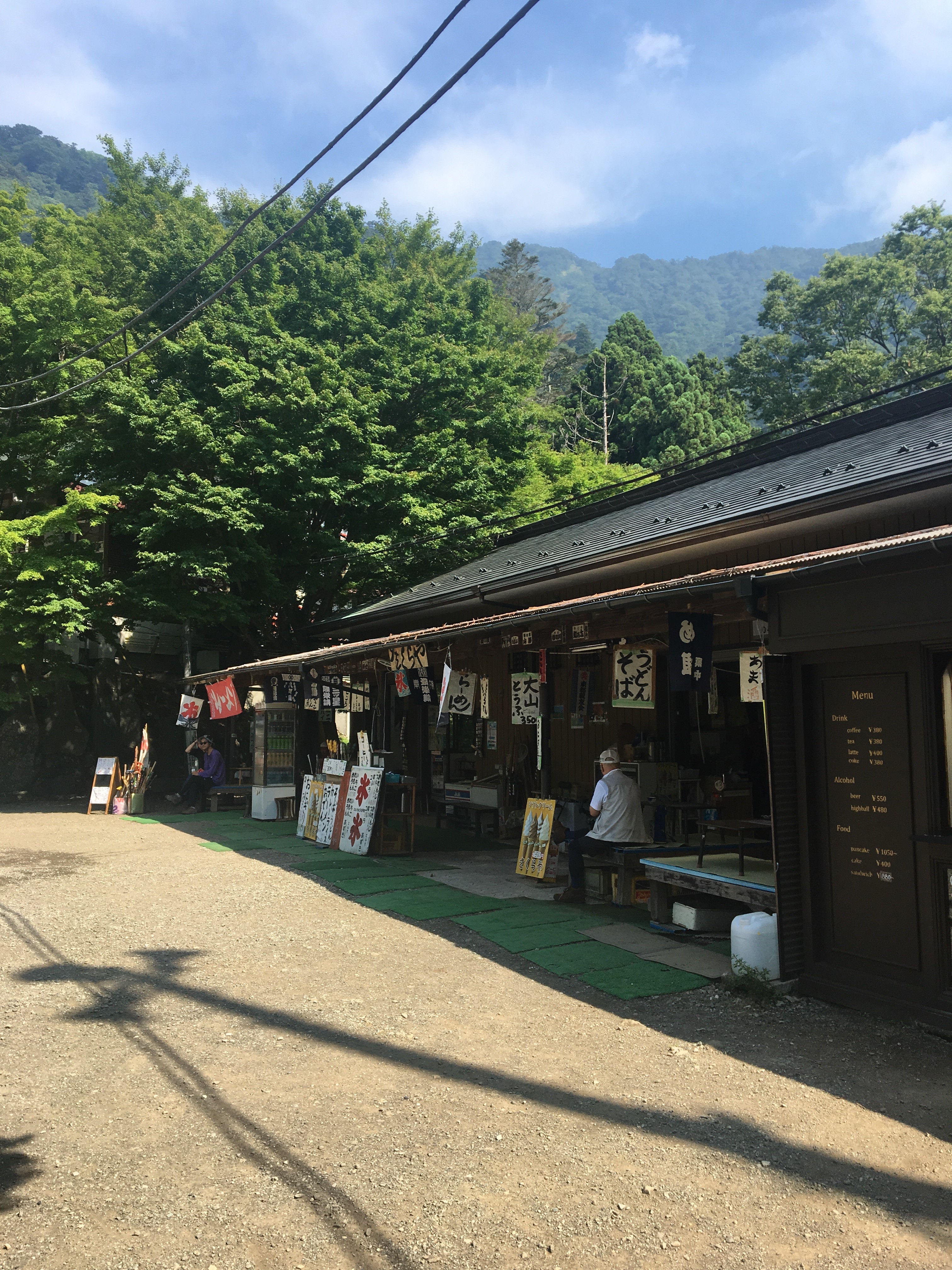
From the bus stop, start walking up the hill, after a few minutes, the road gives way to the approach walkway to the cable-car station, the pedestrian track is lined with tourist shops and restaurants, after some more minutes and 360 or so steps is the cable-car station building, continue past this, and up some more steps where there is the choice of two routes, Womens (女坂) trail or Mens (男坂) trail. The Mens trail is the more difficult of the two.
The start of the Mens trail :
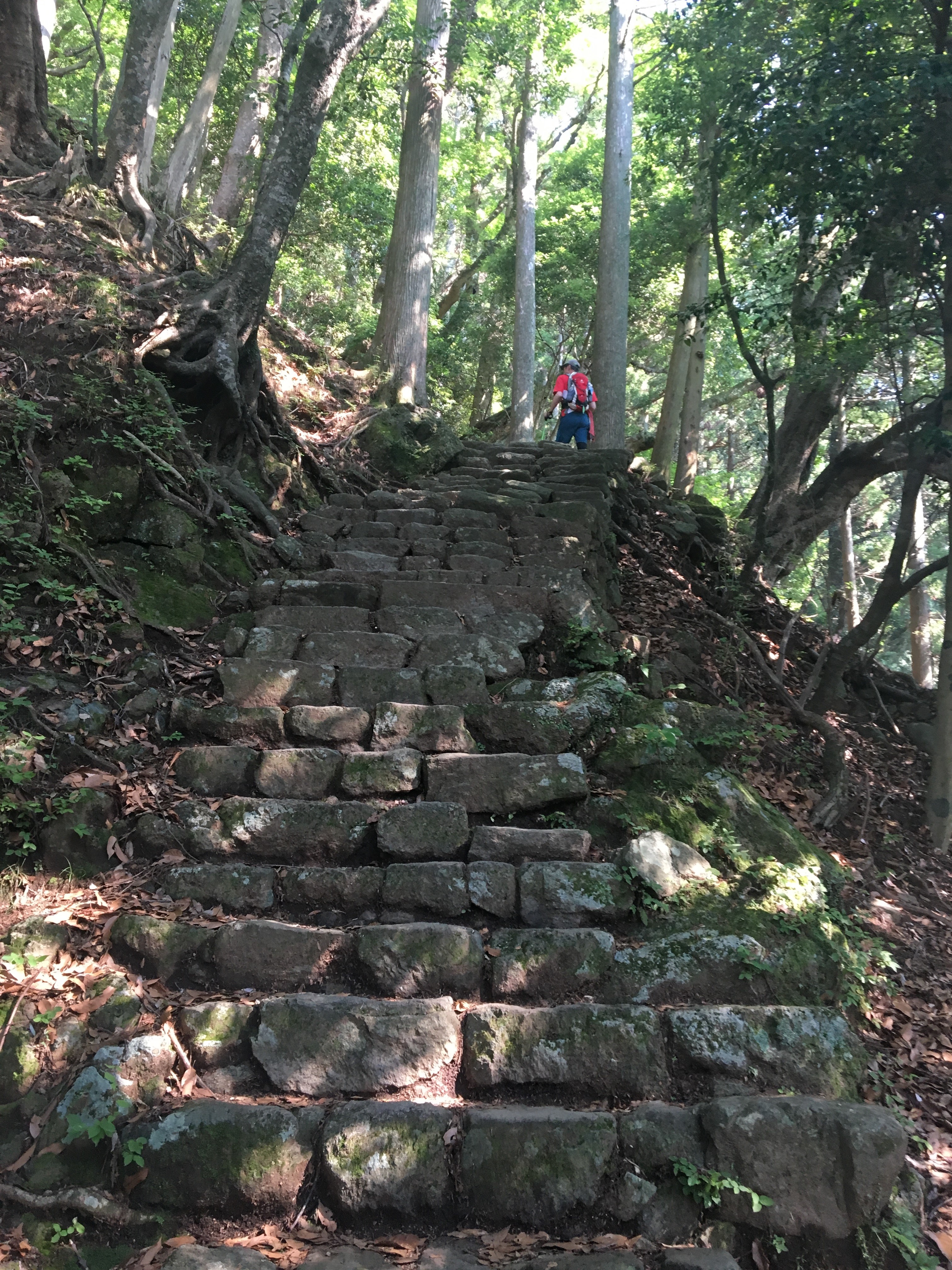
Enjoy the ancient look-and-feel of this old trail while climbing the many steep steps.
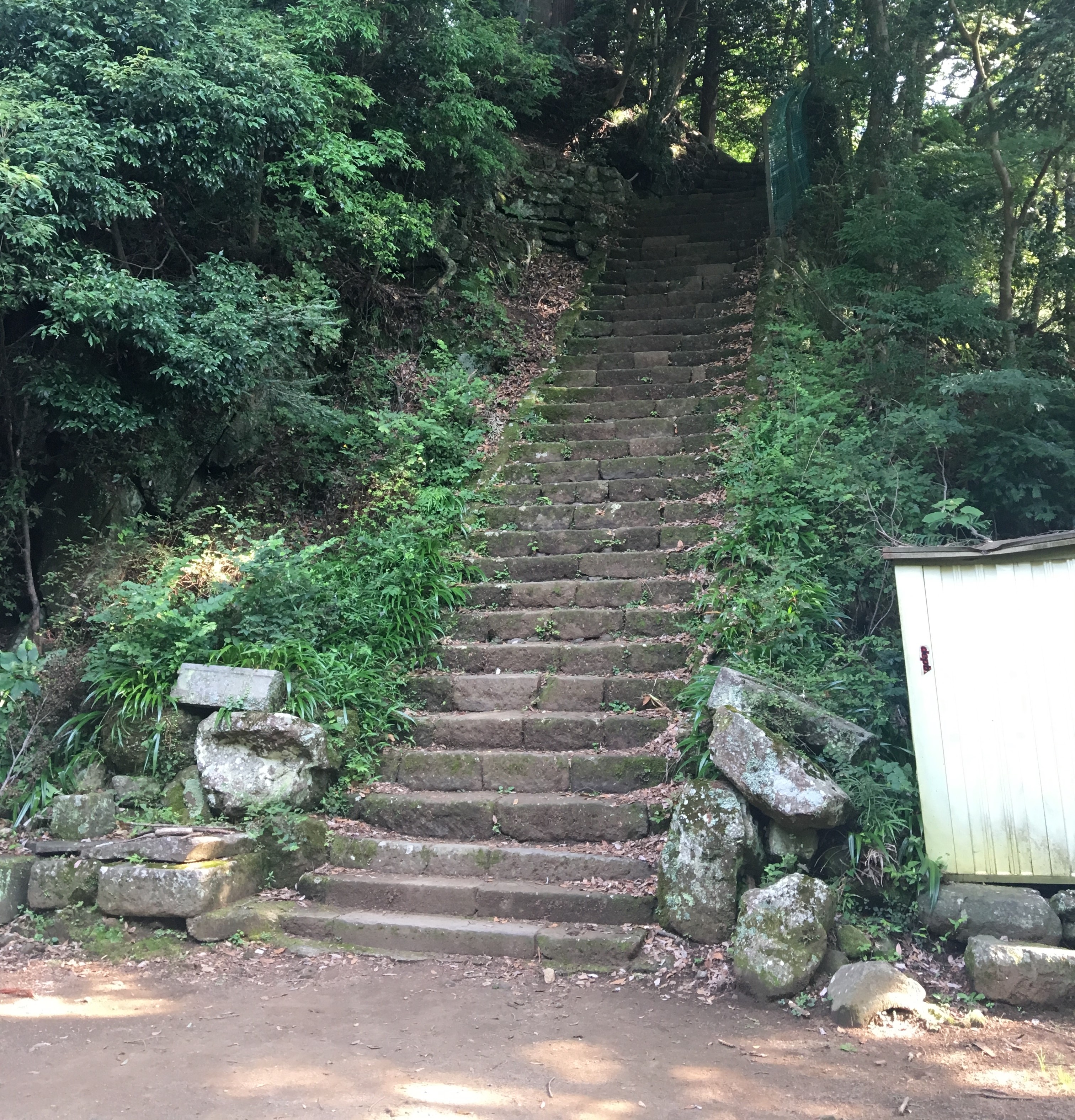
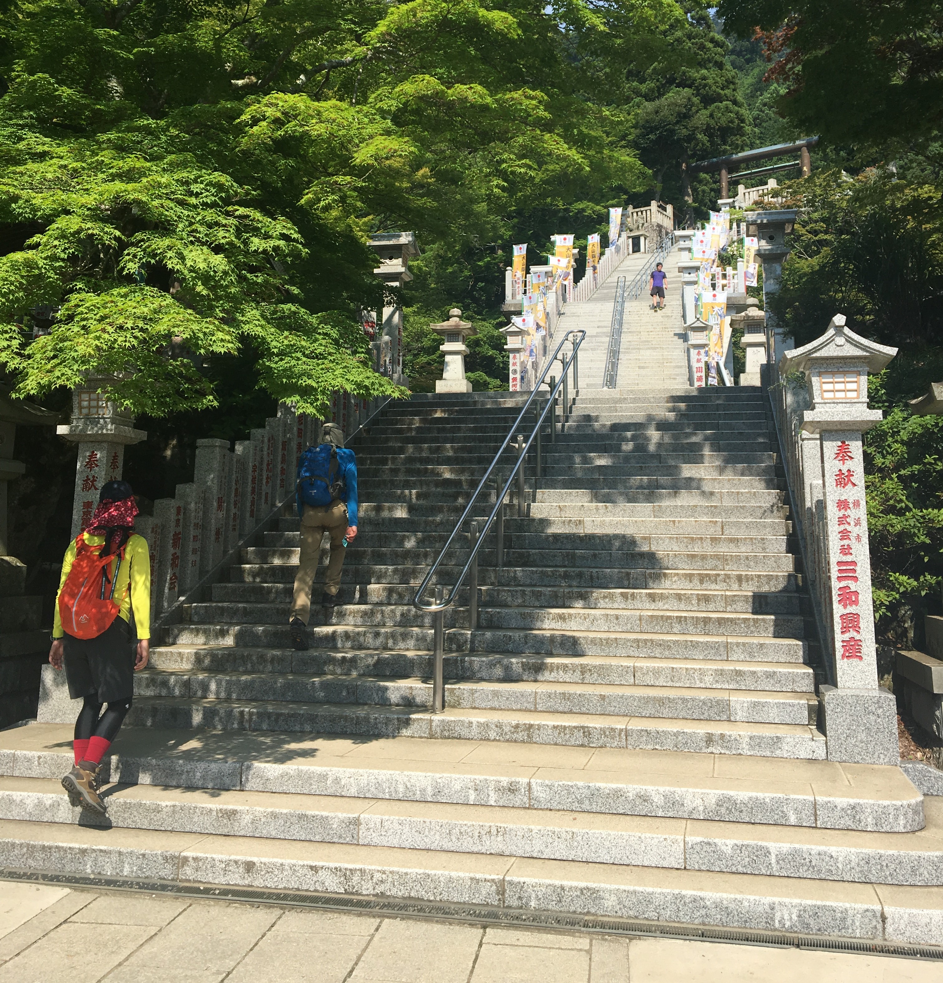
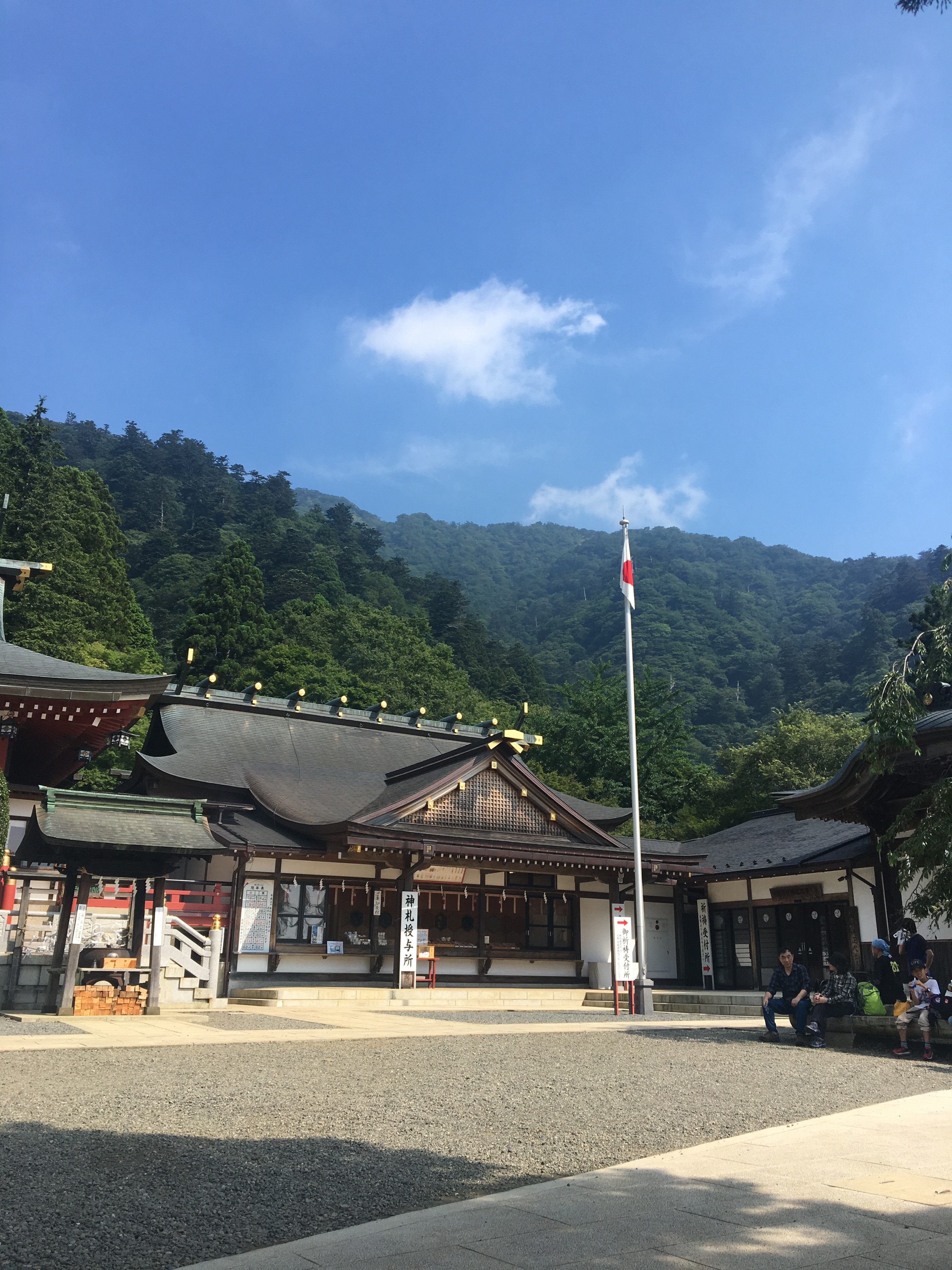
After a couple of kilometres or so, the trail opens out at a large shrine complex at the top of an impressive set of steps.
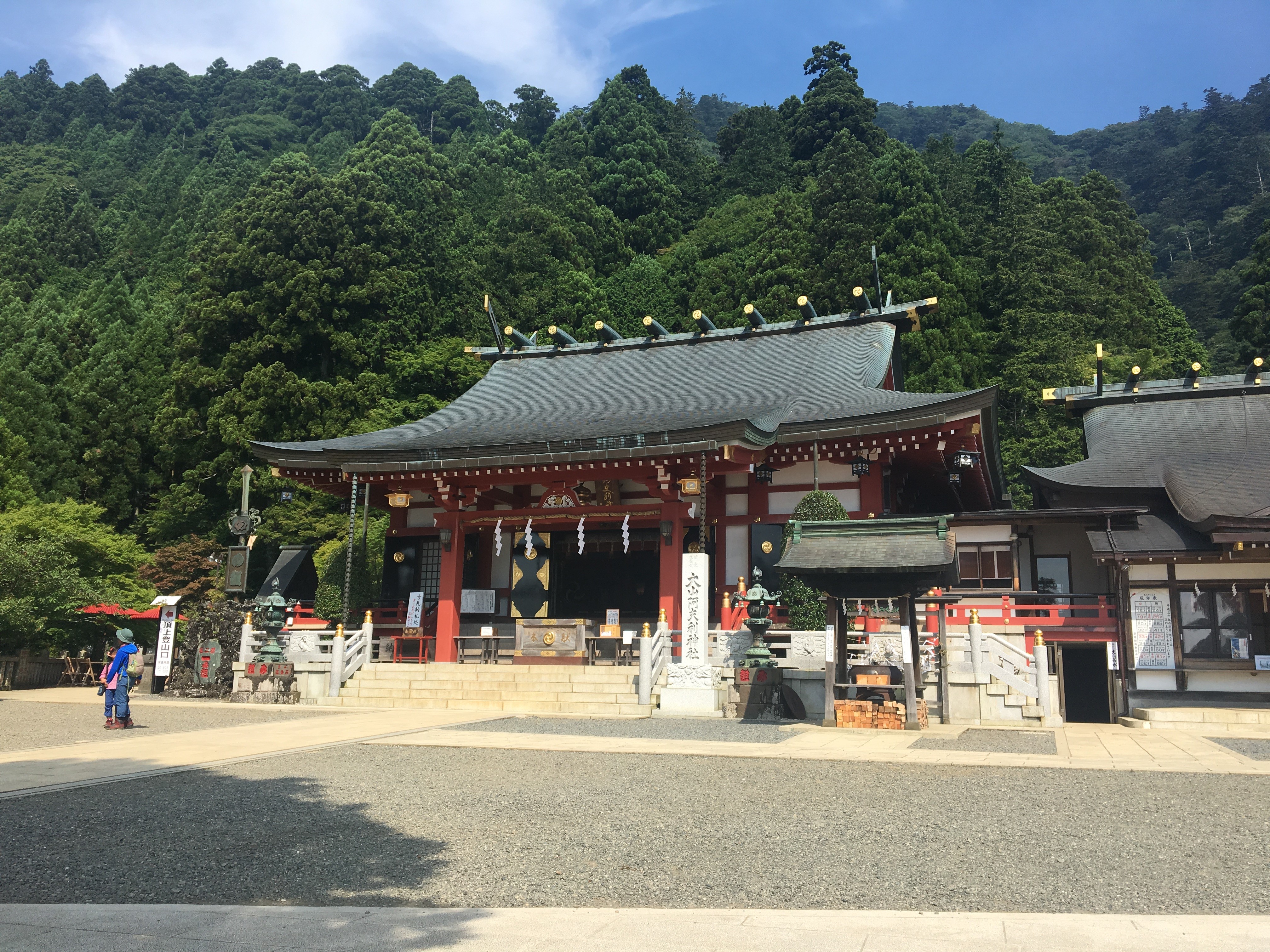
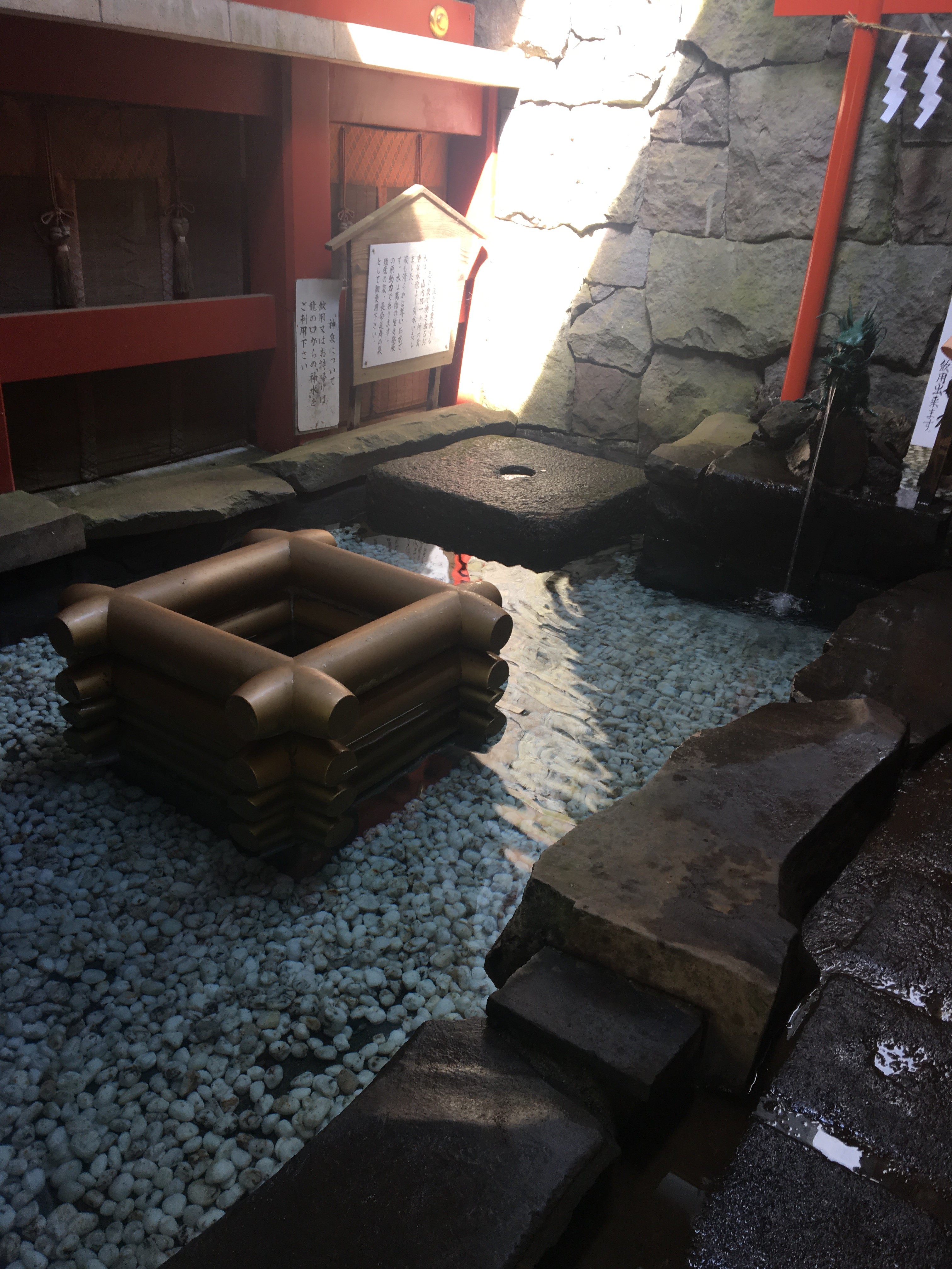
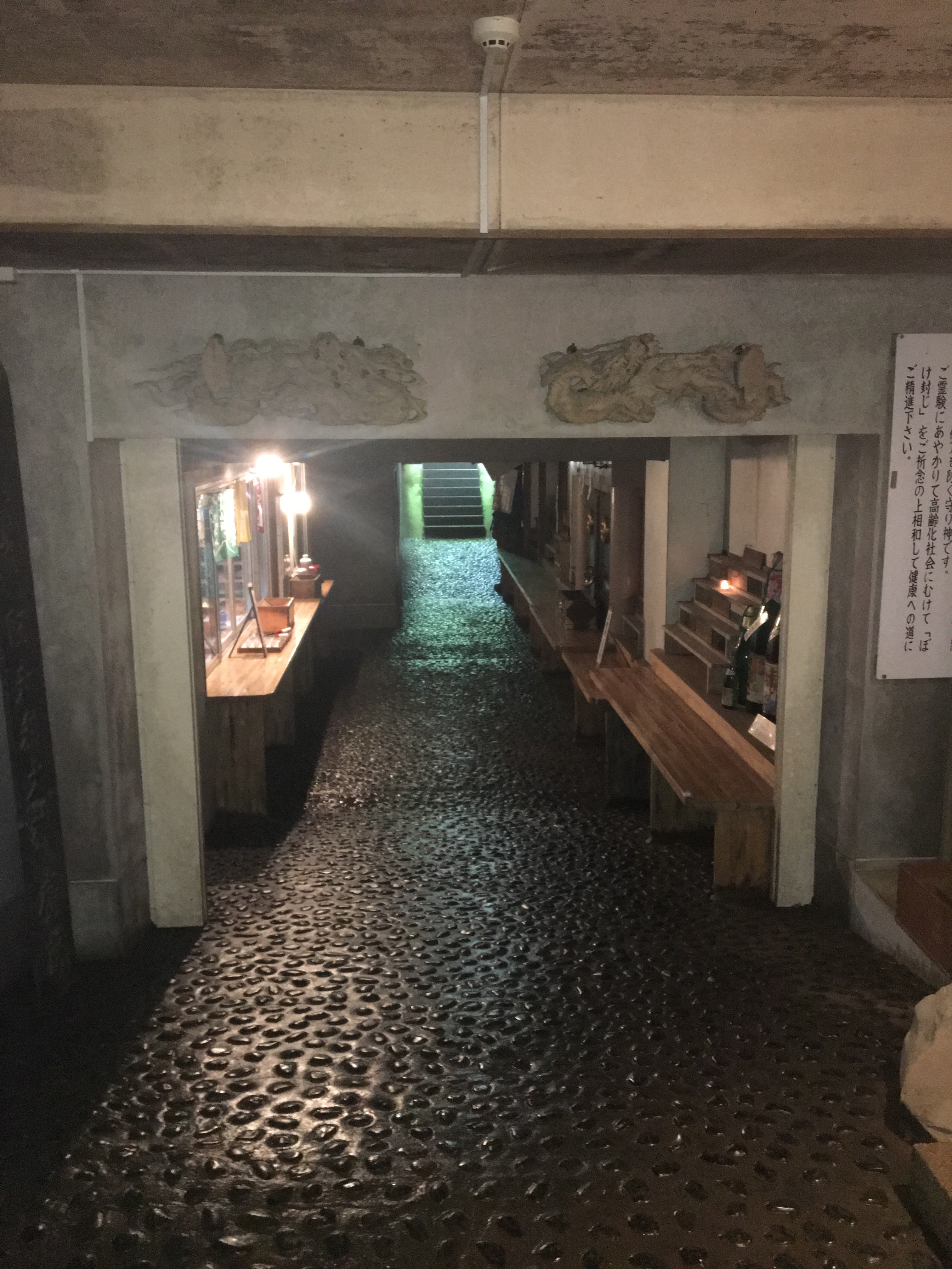
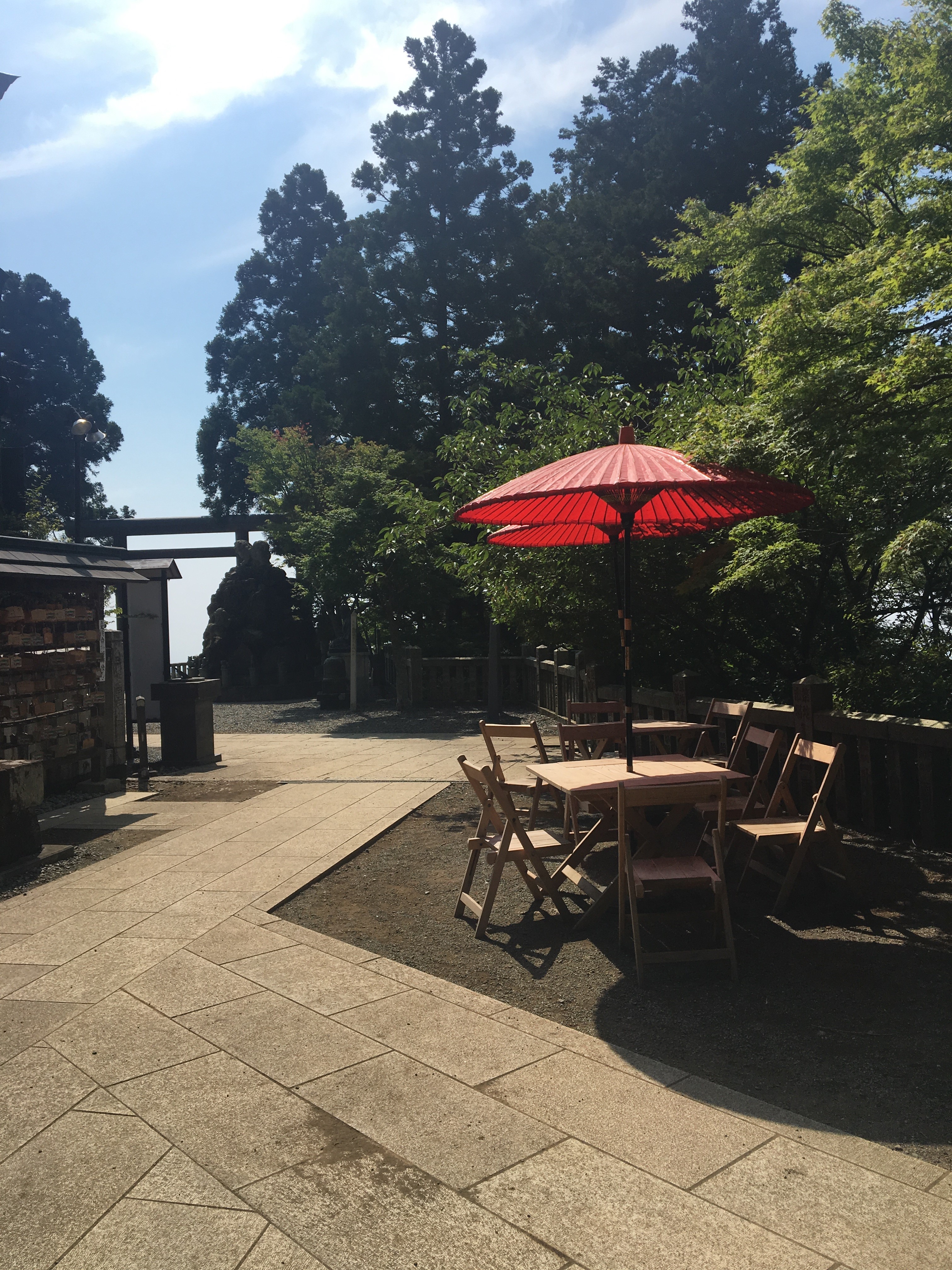
This is a nice place to stop and have breakfast, as well as top up water bottles. To the right-hand side of the main shrine building there is an entrance that leads to a passage, within, there is a water fountain, and a further passage beyond that leads to the otherside of the shrine building, take this exit to continue the hike.
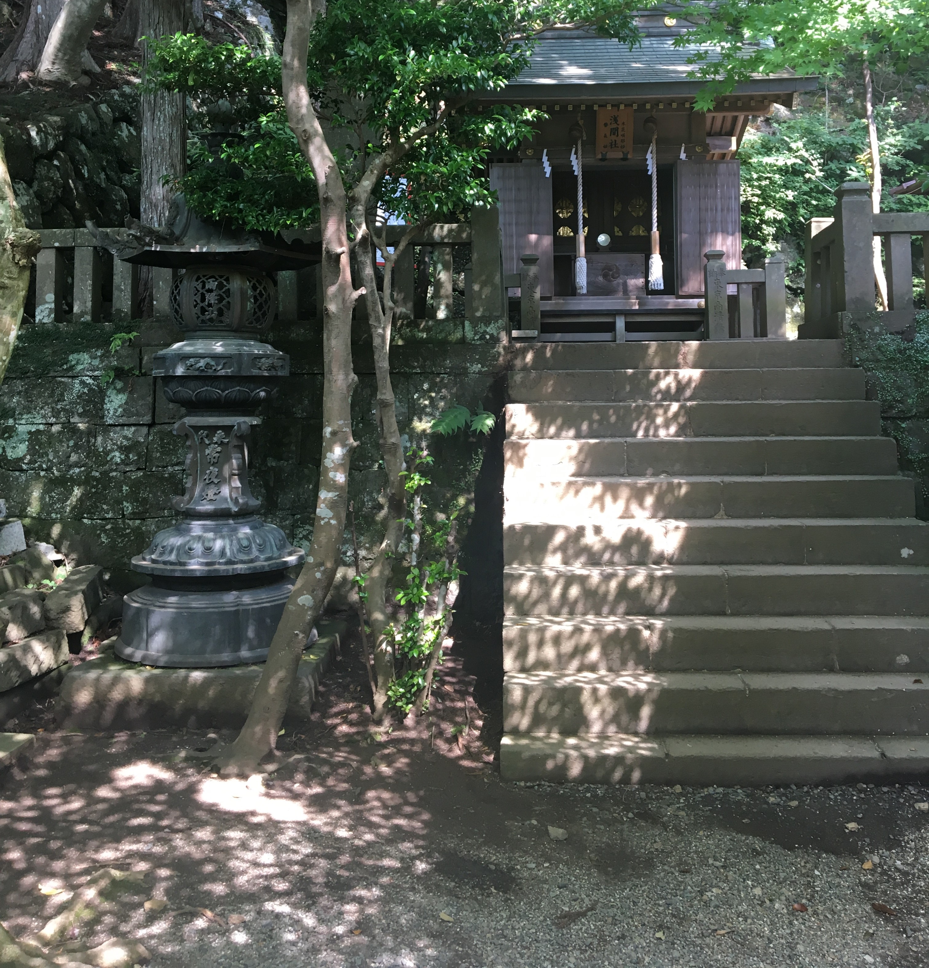
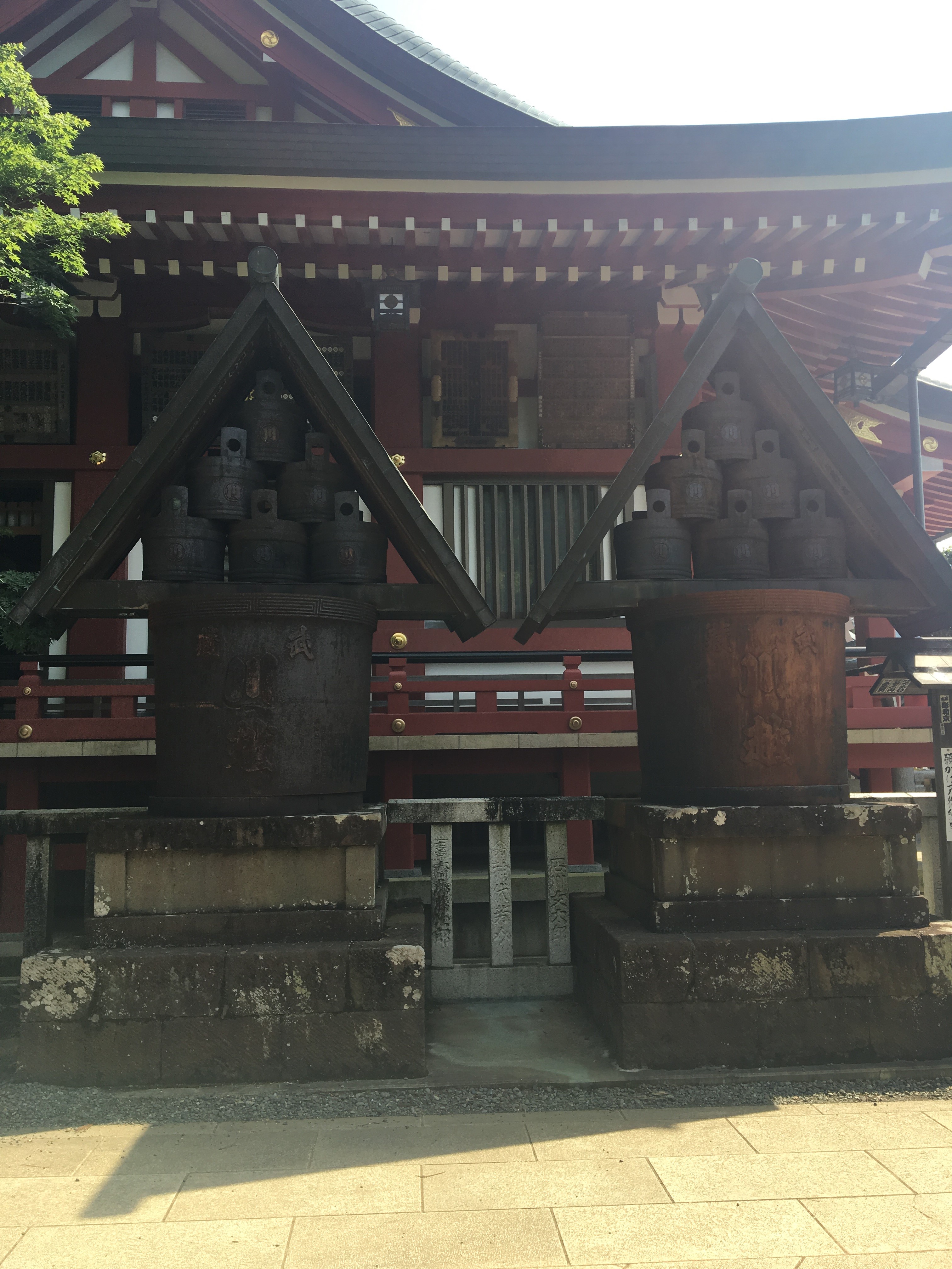
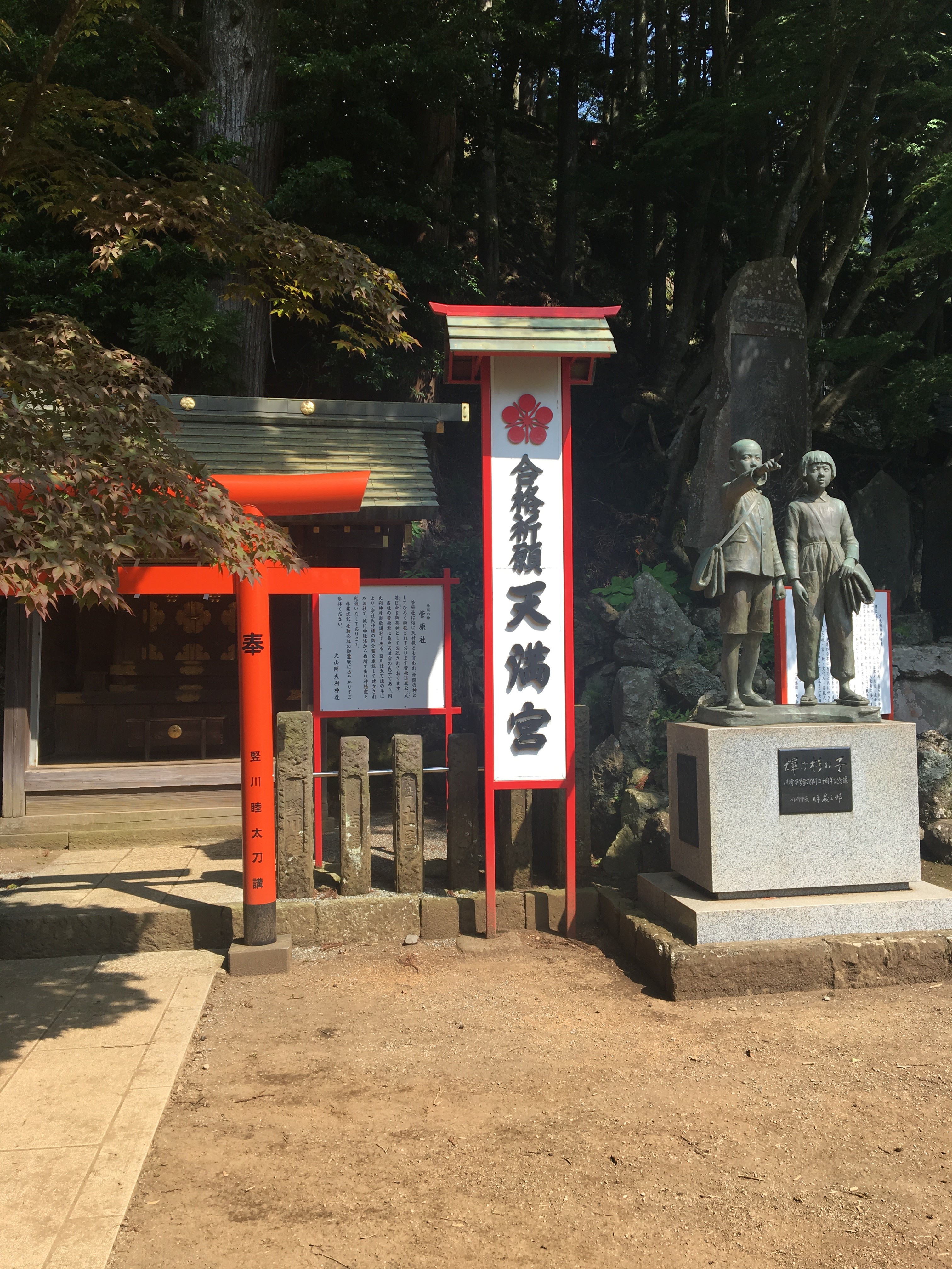
The area at the rear of the shrine, is an interesting space, and worth taking some time here before moving on :
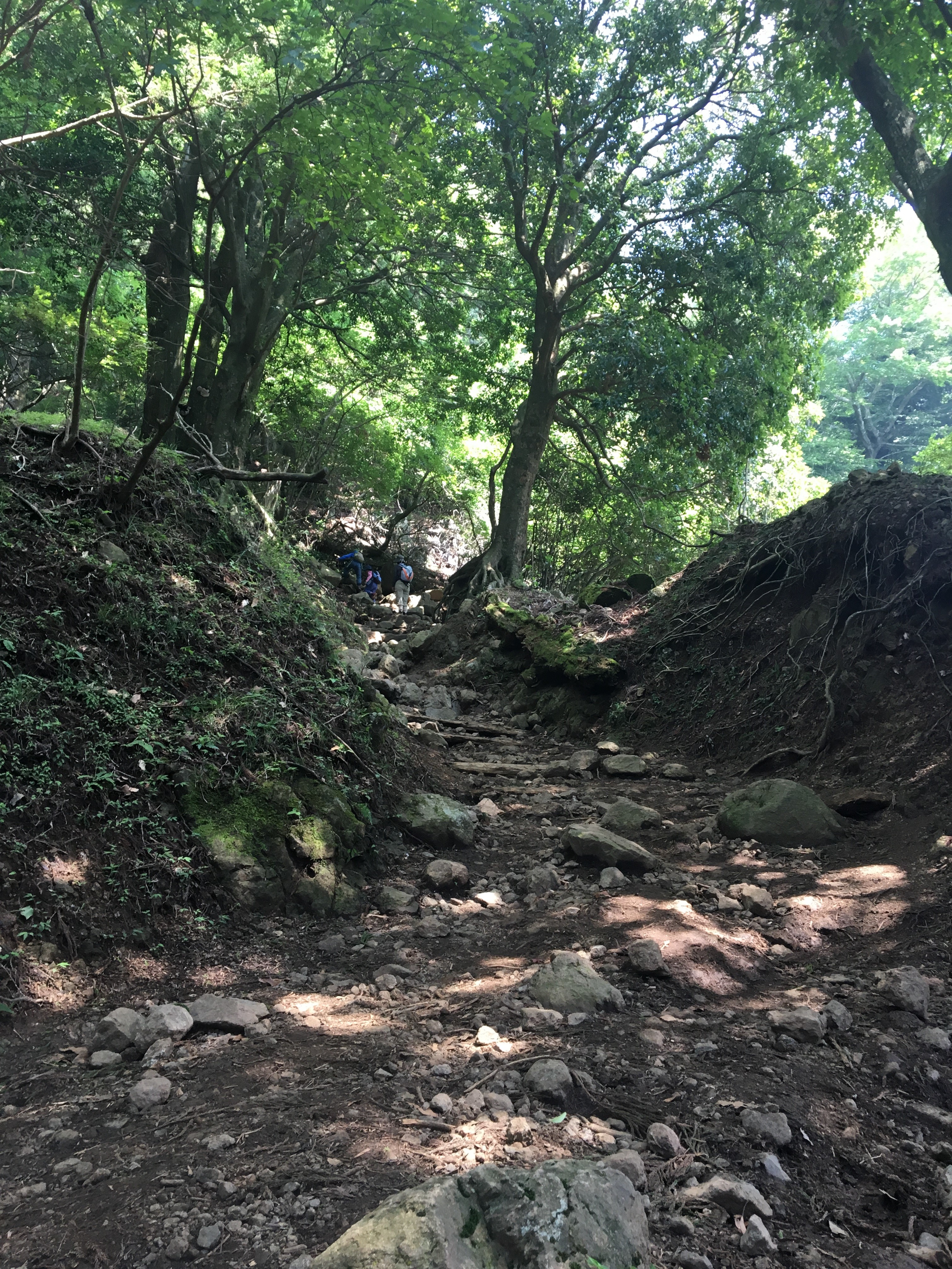
From the rear area, look for a long steep flight of stone steps heading up, from the top, the trail turns into loose rocky pathway :
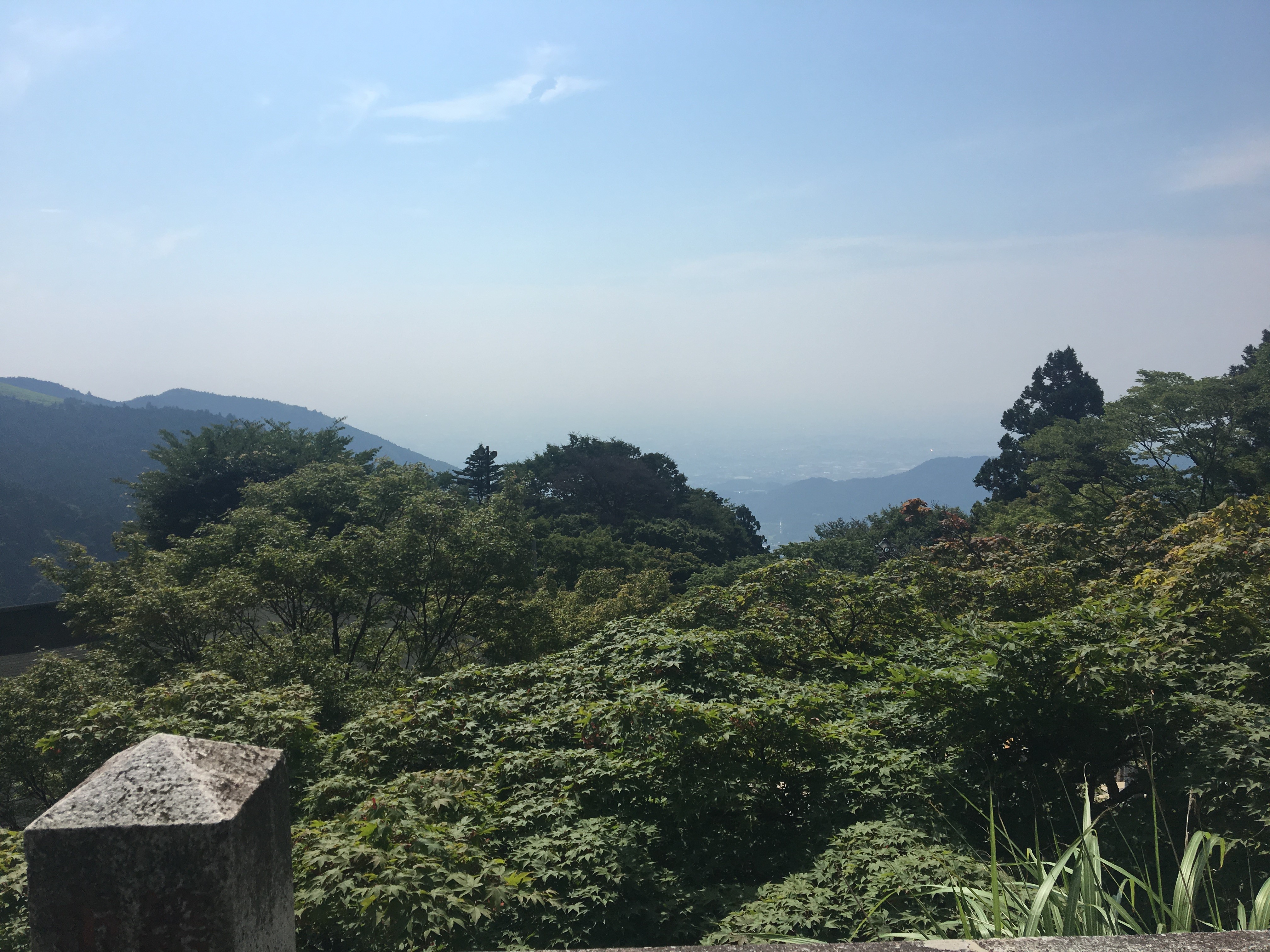
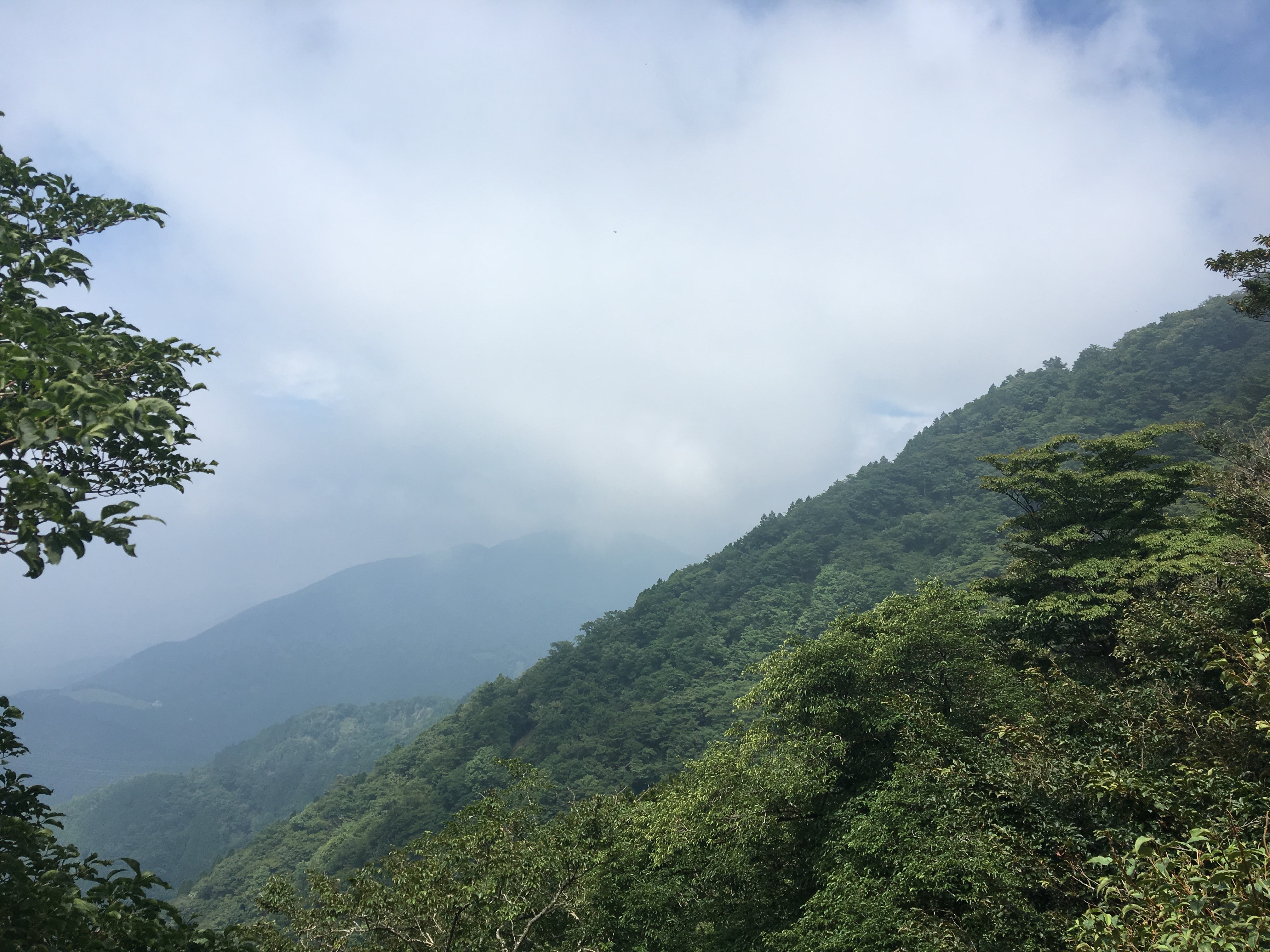
Continue on for a few kilometres, climbing the mountain through the forest paths, Before reaching the top, there is the chance to see Mt Fuji in the distance from a certain spot. However, on the day of this hike it was too cloudy, and Mt Fuji was hiding :
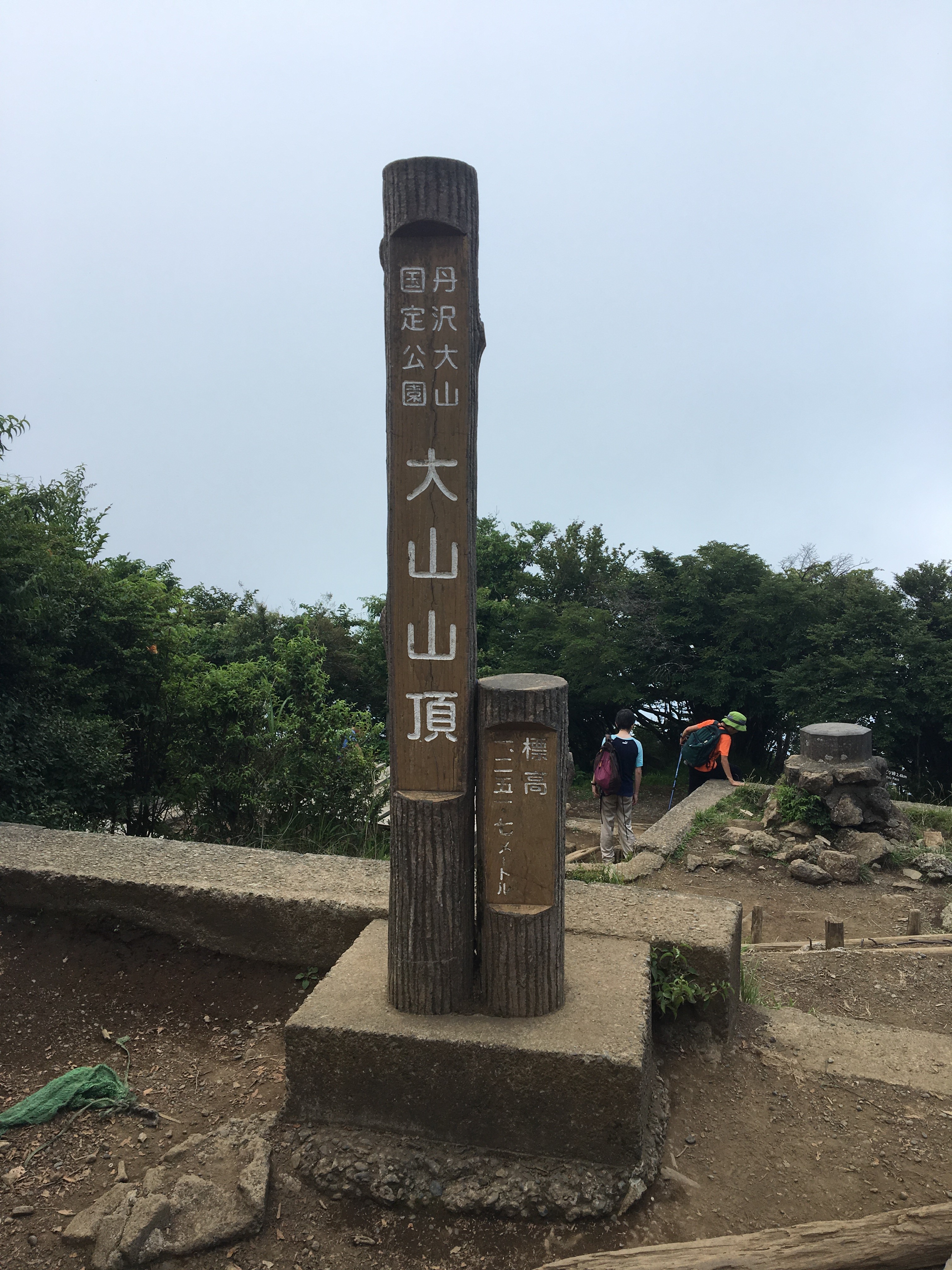
At the top of Mt Oyama :
From the top, head back a short way down the same path just taken, and follow a sign for “Yabitsutouge”, this runs for a few kilometres and leads to Yabistu pass. From Yabitsu pass, the hike follows the same route as described in previous post here eventually arriving at Okura center, and the bus back to Shibusawa train station, for a train back to Tokyo center.
..but not before enjoying the wonderful soba and beer at a nearby restaurant :
( This was an eggplant and tomato soba dish )
Route Overview and Elevation Profile
