Oku-tama to Mt Gozen via Mt Nokogiri
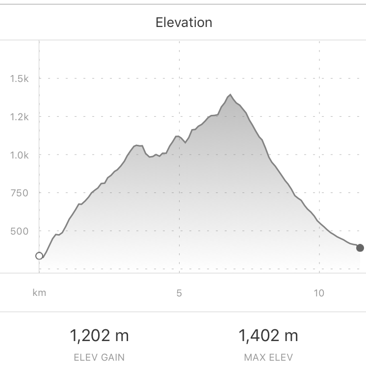
Location - Okutama area (奥多摩町) Start - Oku-tama Train Station (奥多摩駅) Finish - Bus Stop on Bridge, outside Oku-tama town Walking Time - 6 hours Difficulty : Moderate to Difficult - Some steep rocky sections, higher elevation upto 1400m, ~11.5km distance
Getting There
Take the JR Chuo line From Shinjuku station, Tokyo. All the way to Oku-tama station. Total train time approx 90mins.
The Hike
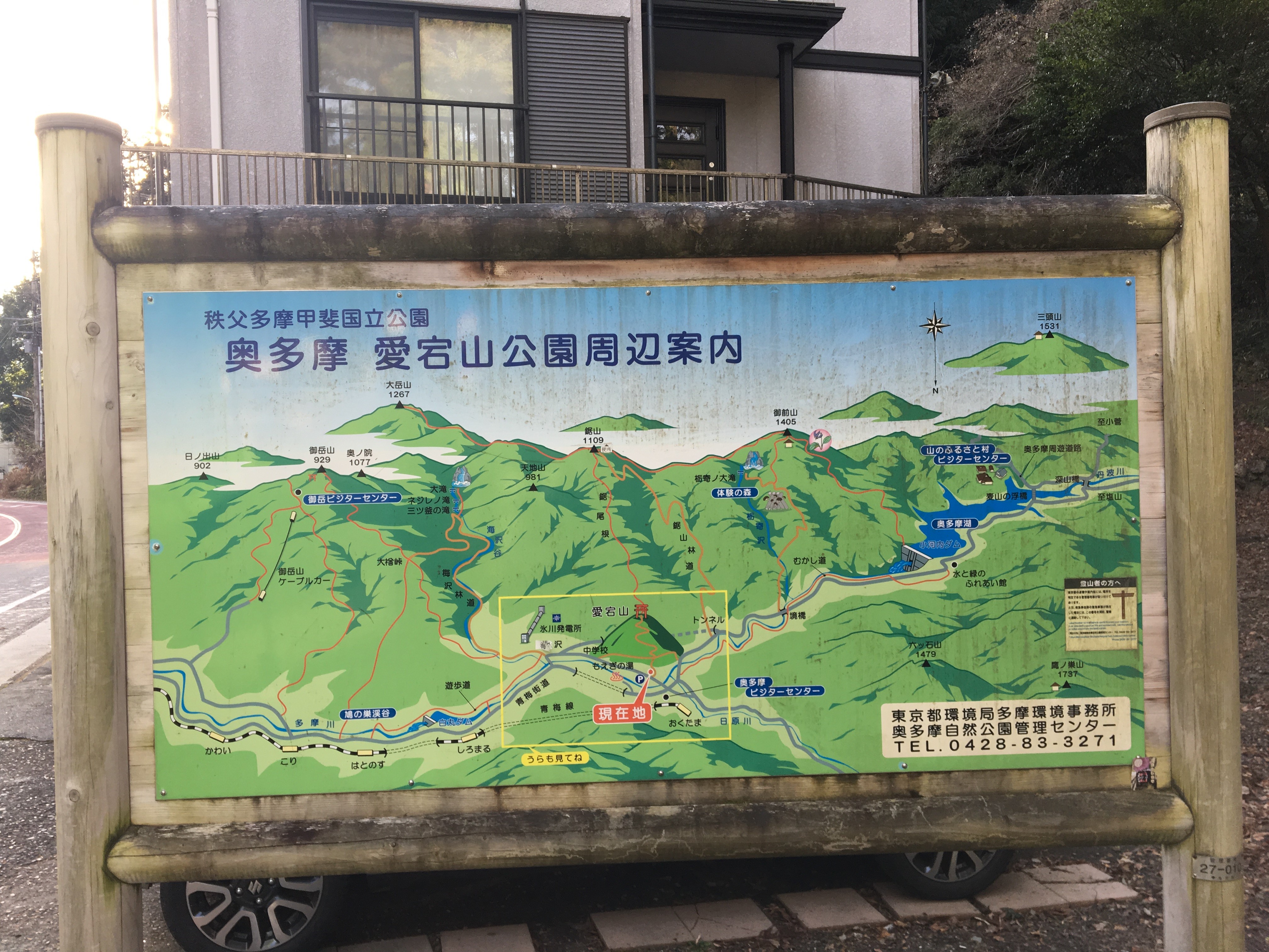
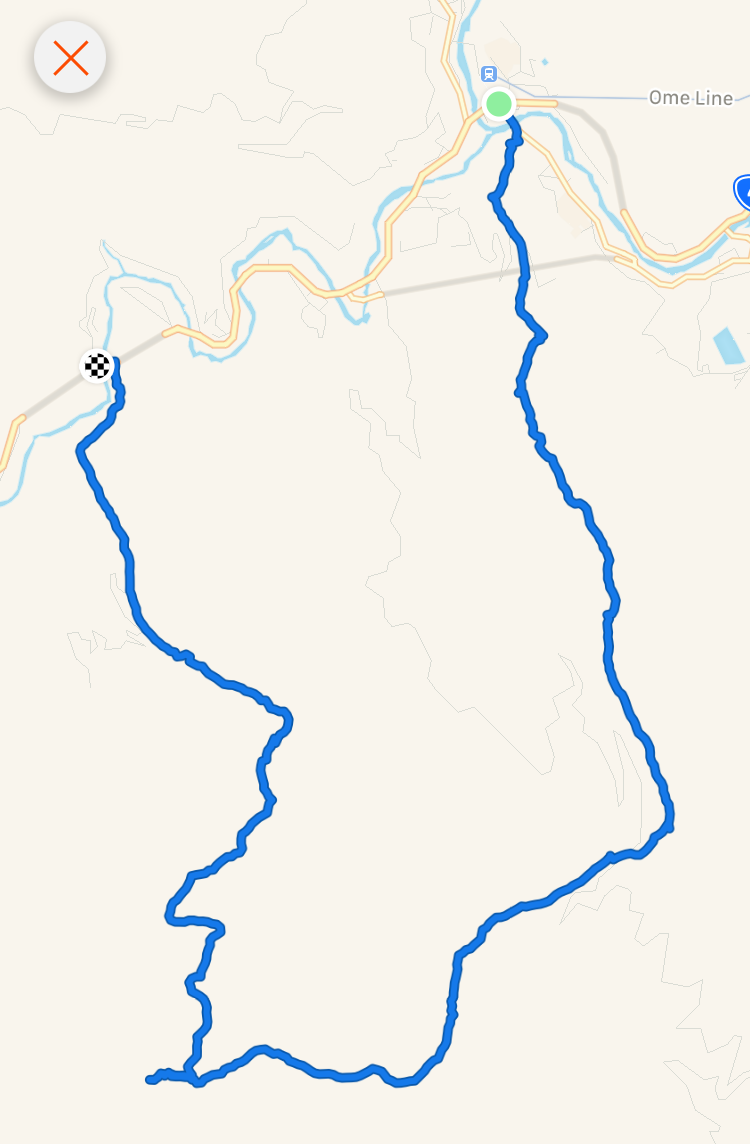
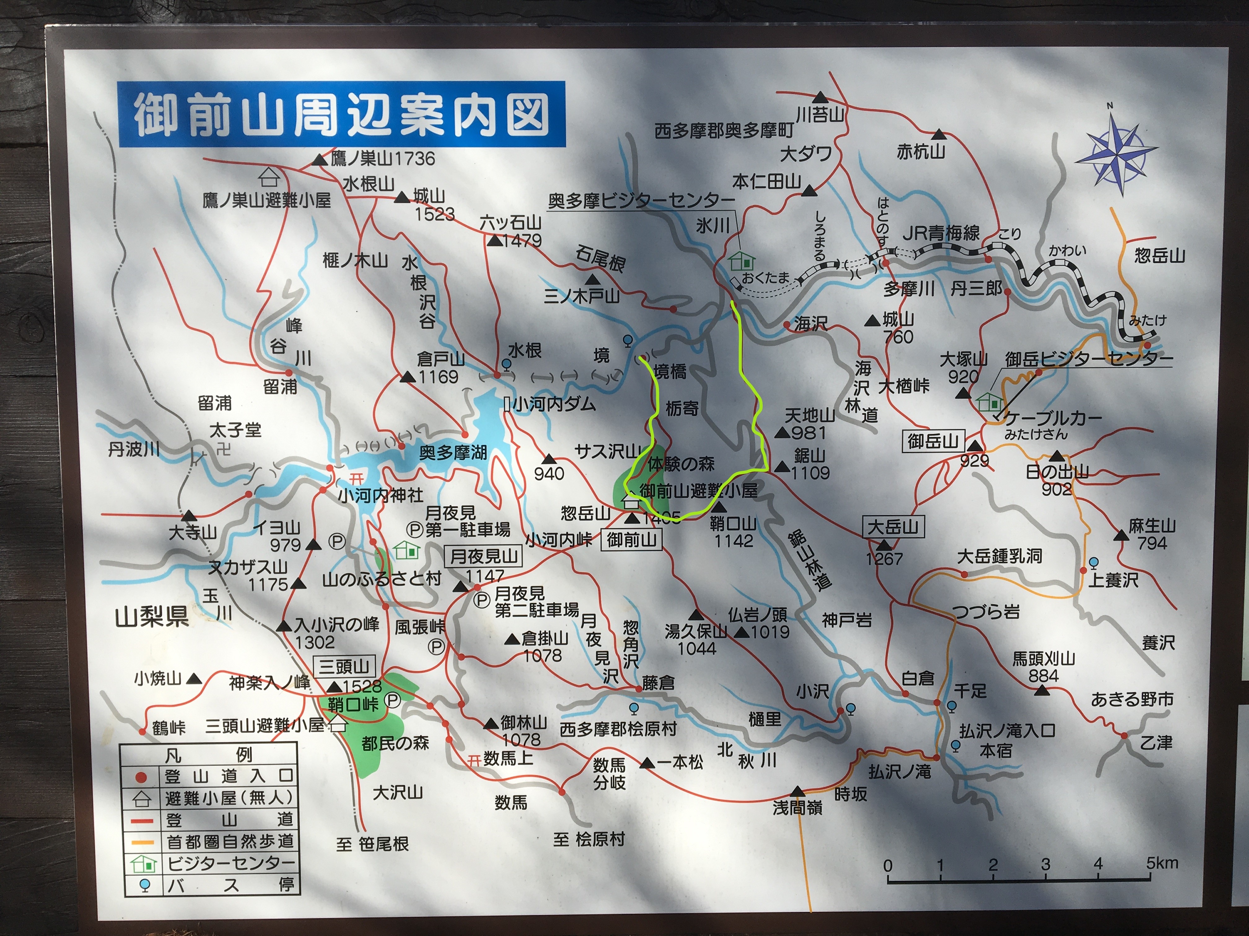
The hike can be seen in green-highlight on this map, and is in clock-wise direction, starting from Okutama station and finishing a little to the west of Okutama at a bus stop, (from where a bus can be caught back to Okutama)
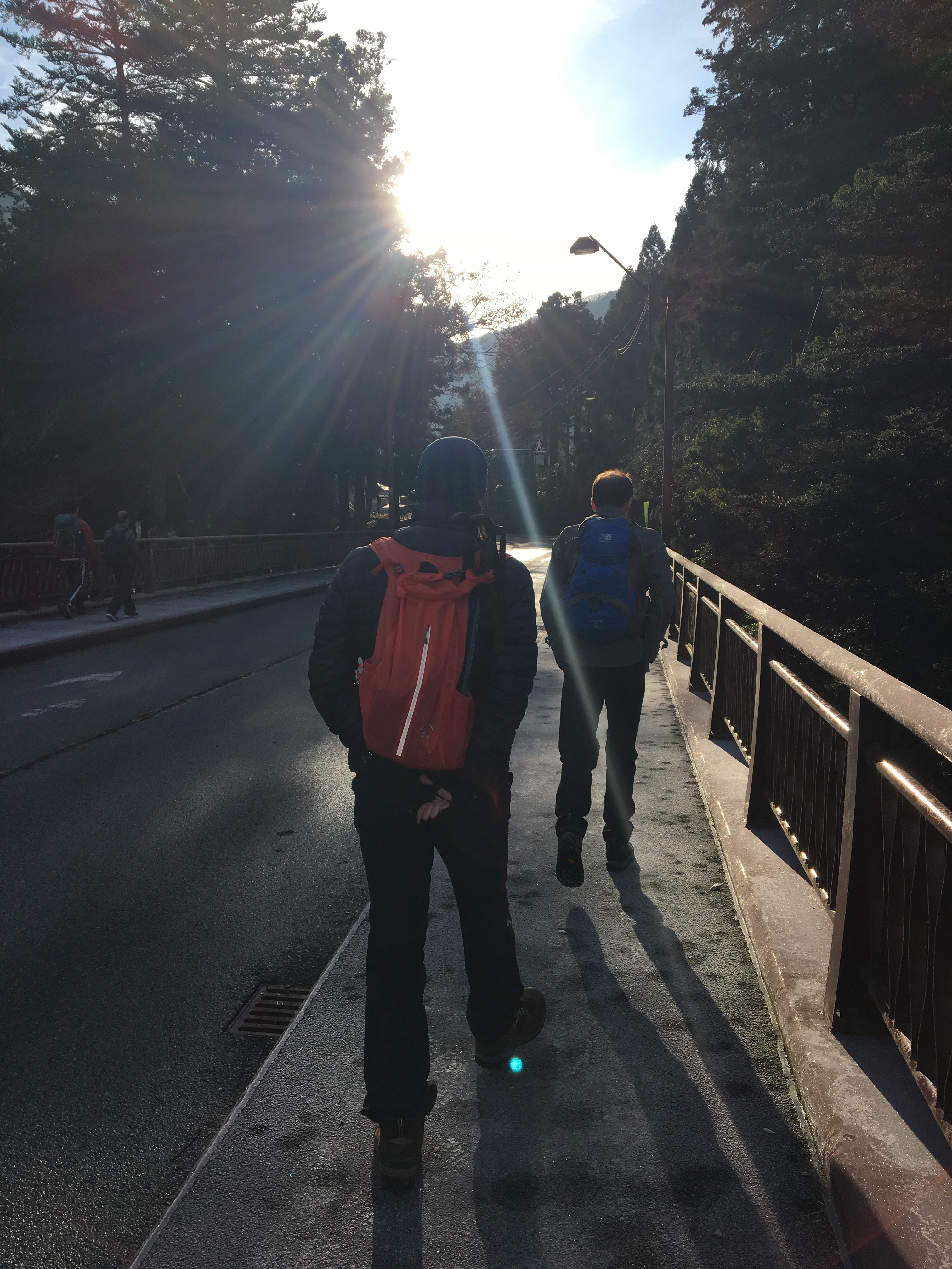
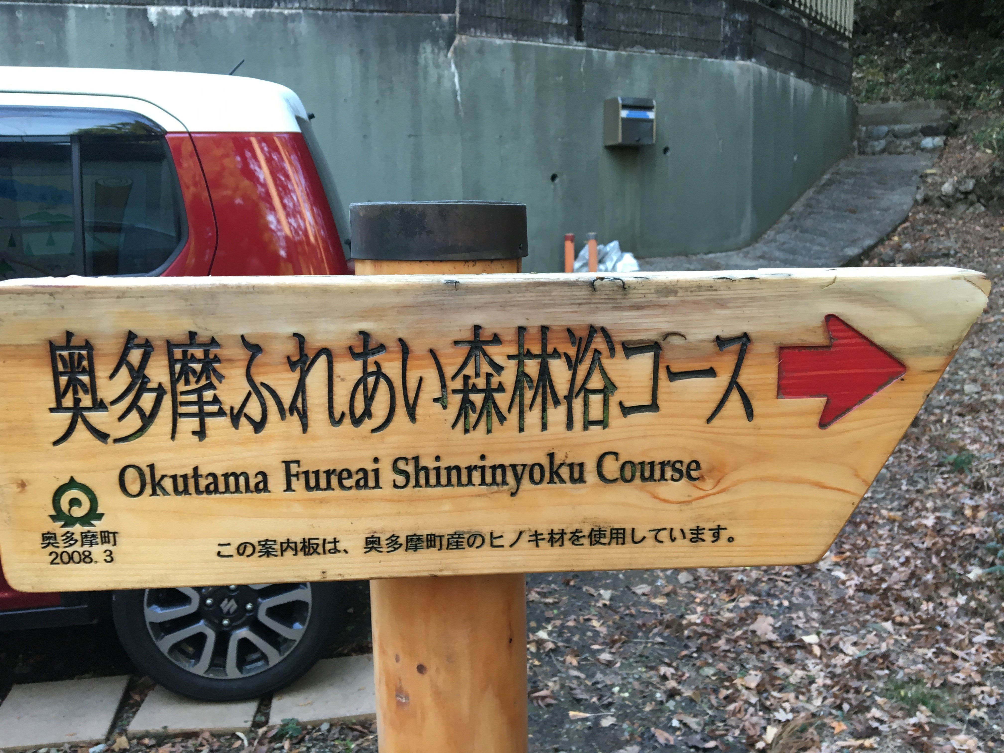
Leaving Oku-tama station, turn left and walk a short distance, keep heading straight and cross over a junction ( a little dog-leg left ), look for the bridge ahead. Cross the bridge. A little way further along, look for the start of the trail on the right hand side, it is easy to spot, with a few signs guiding.
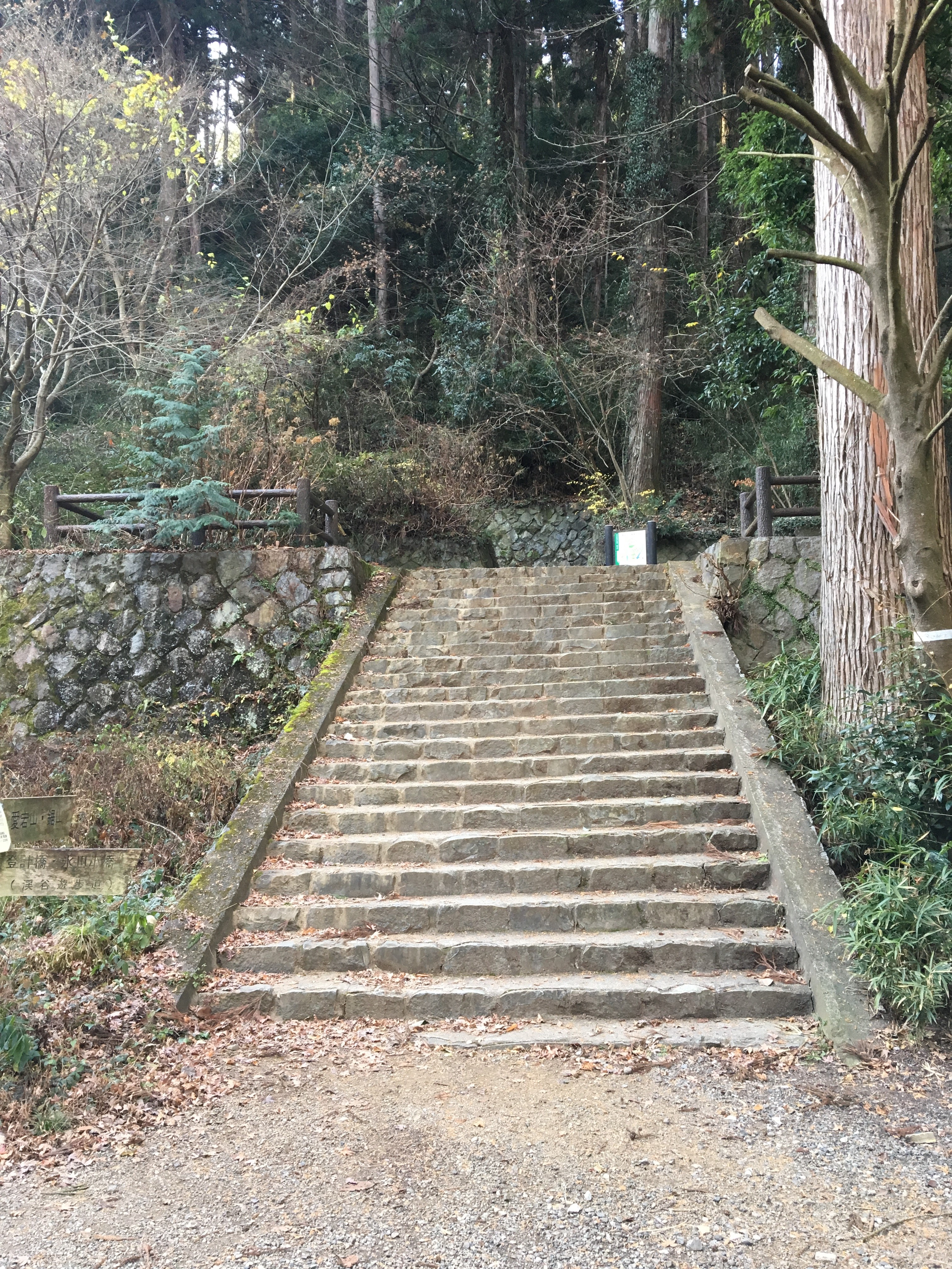
Take the old short flight of stone steps, and start following the forest trail.
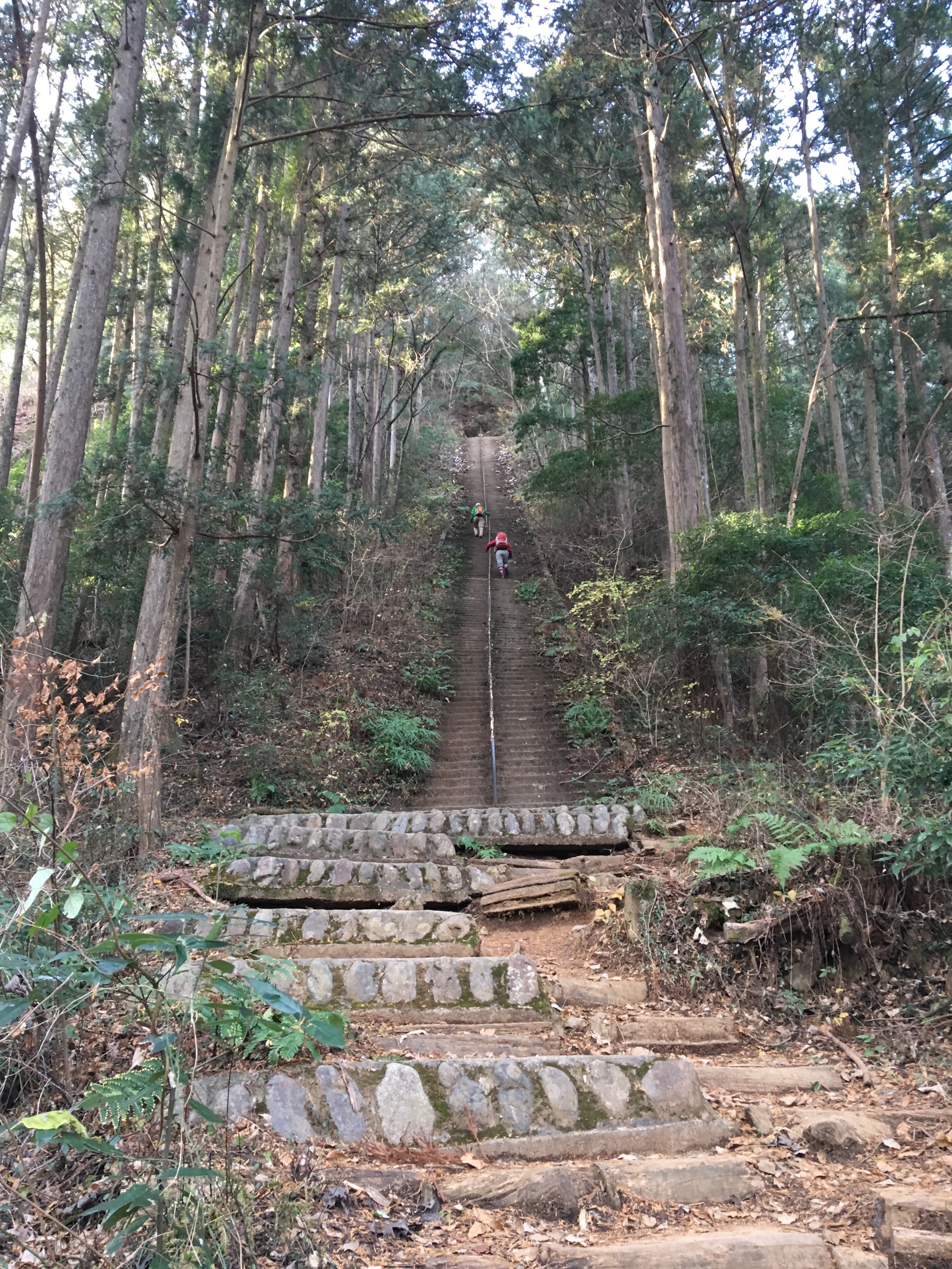
After a short while, there will be a very steep set of old stone steps, head up these.
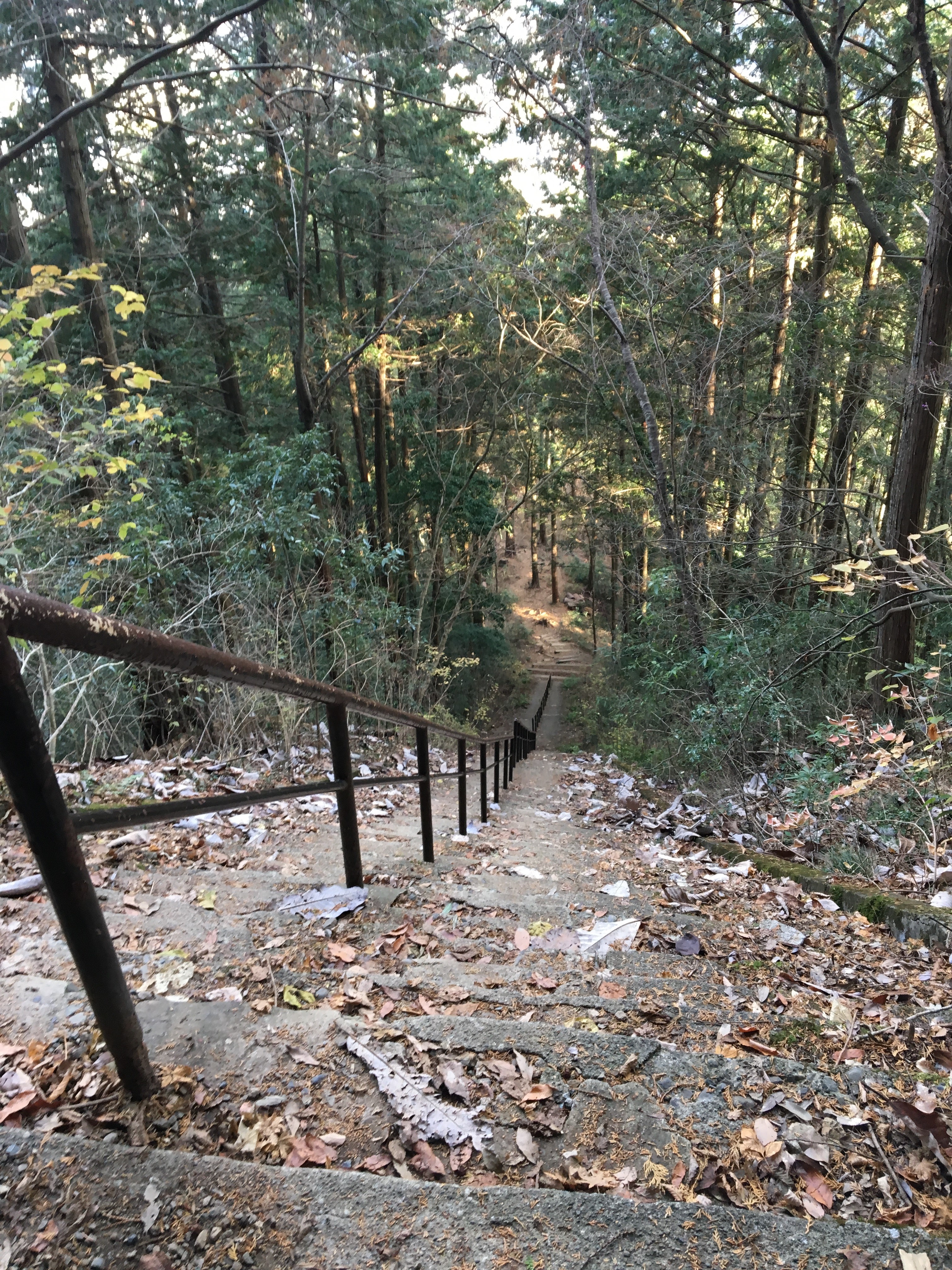
Looking back down from the top, take a rest to get breath back, then continue on along the path to the right
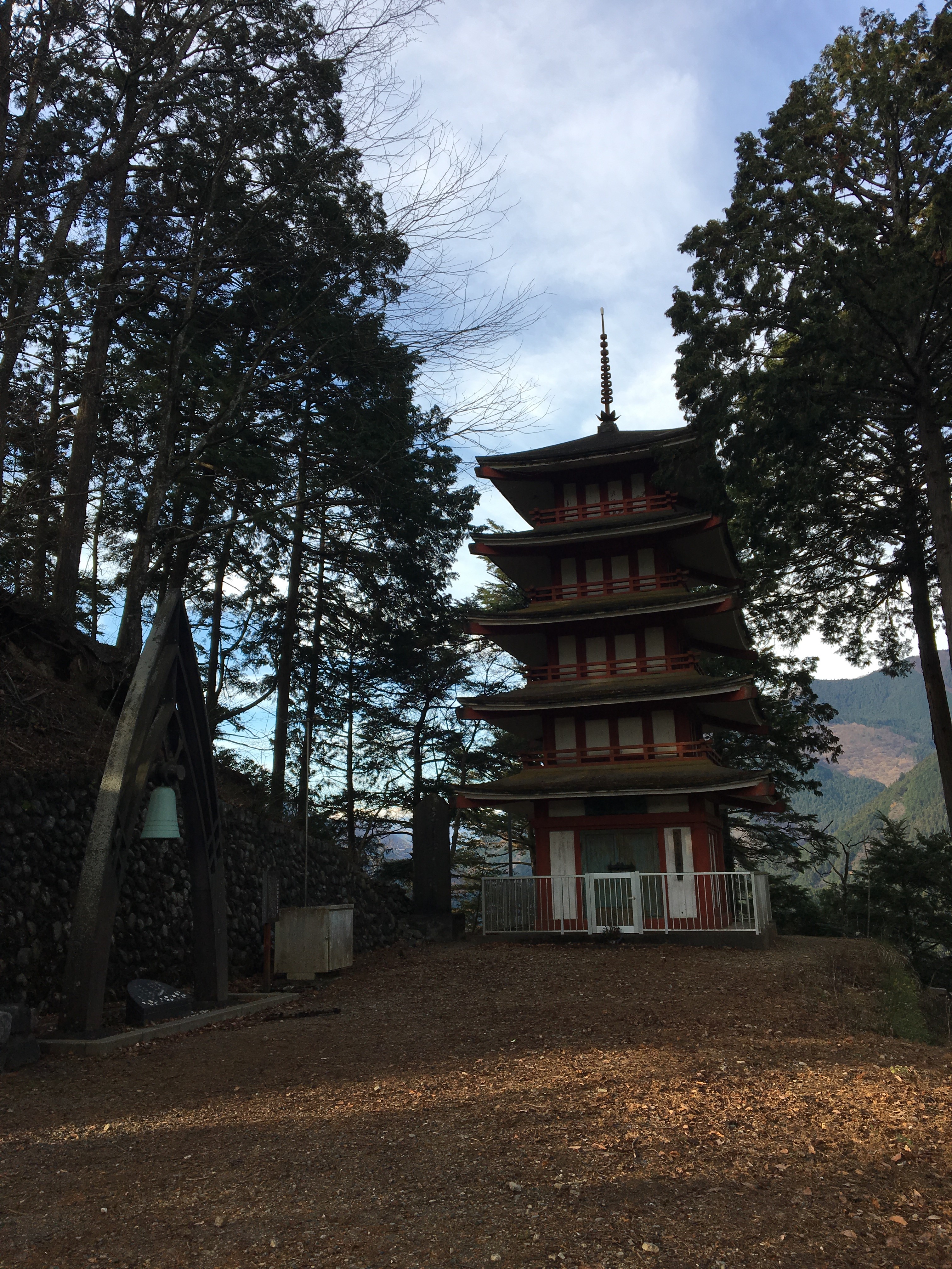
Next on the trail is a shrine area with a pagoda building
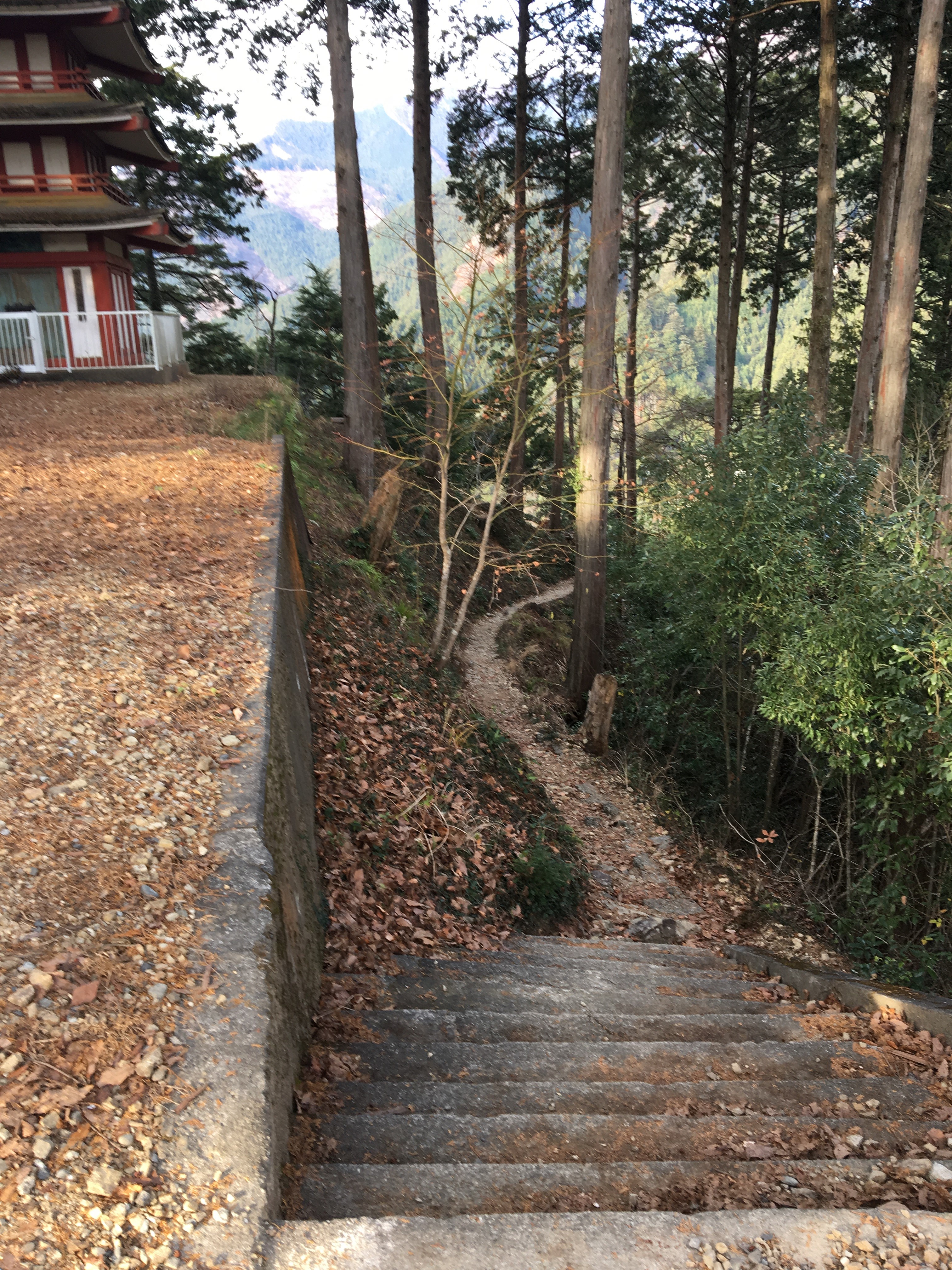
Looking back down some old stone steps by the side of the pagoda,
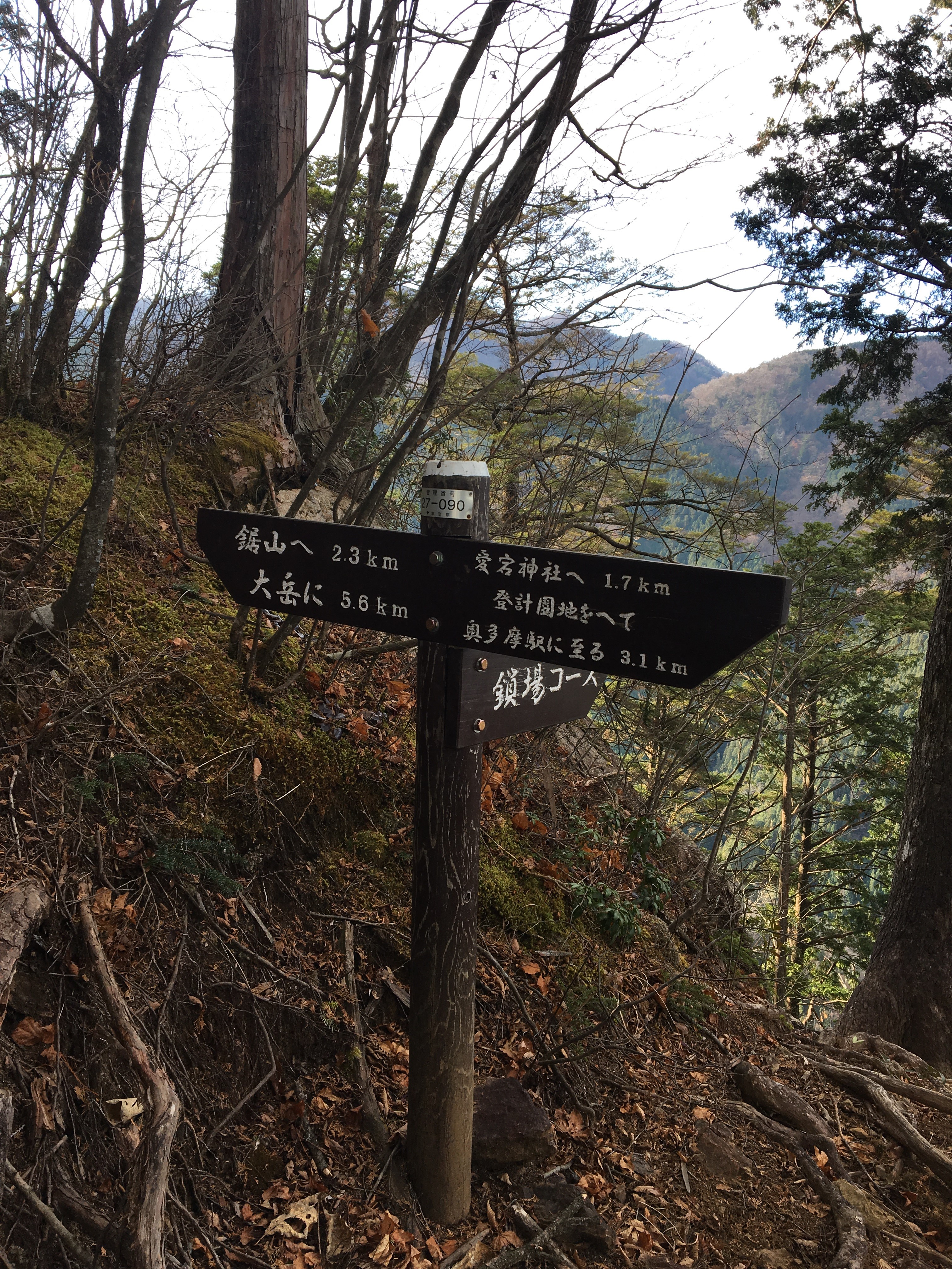
Continue climbing up the trail, take the left fork as shown by this sign ( 2.3km, & 5.6km direction ),
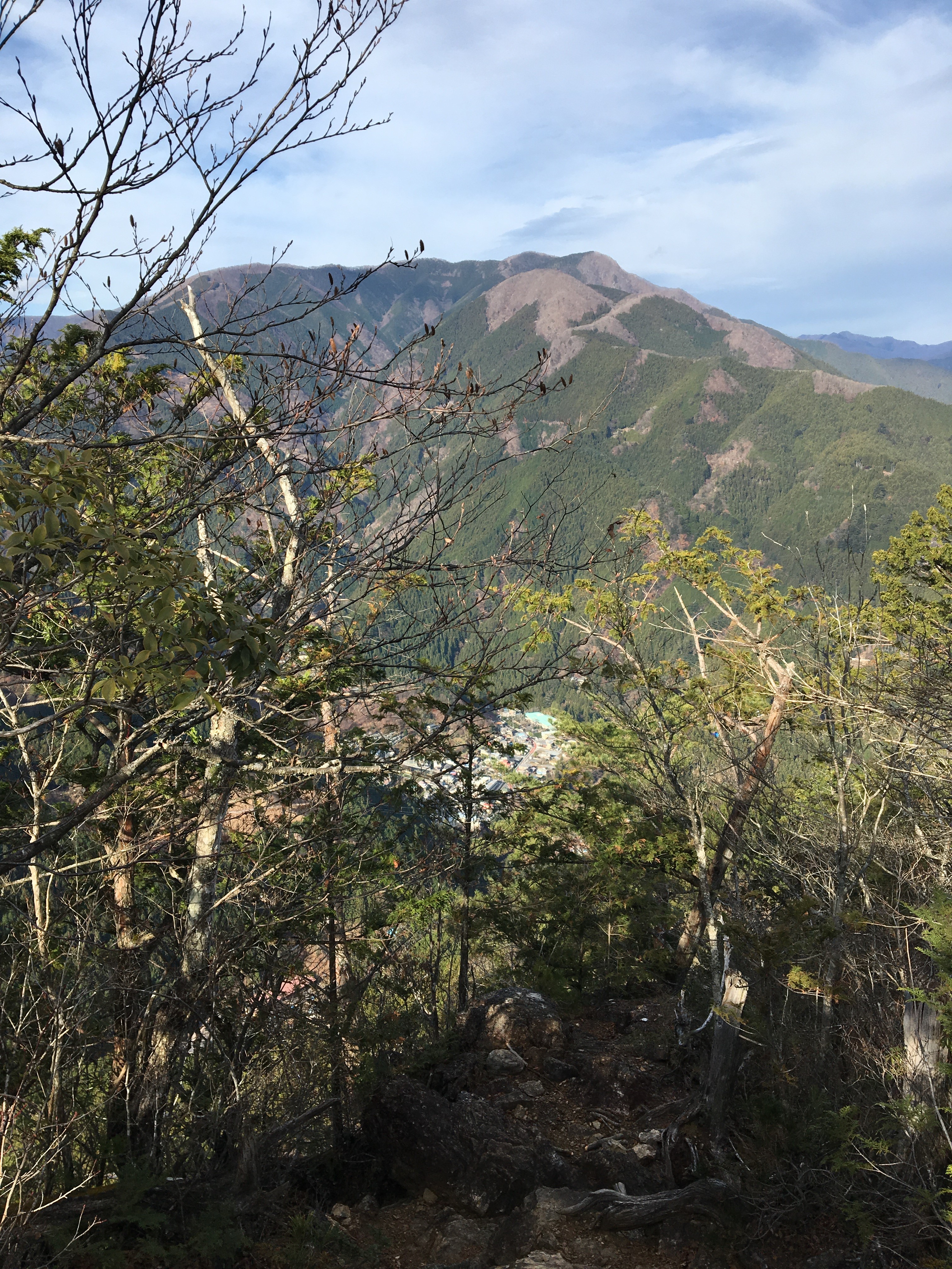
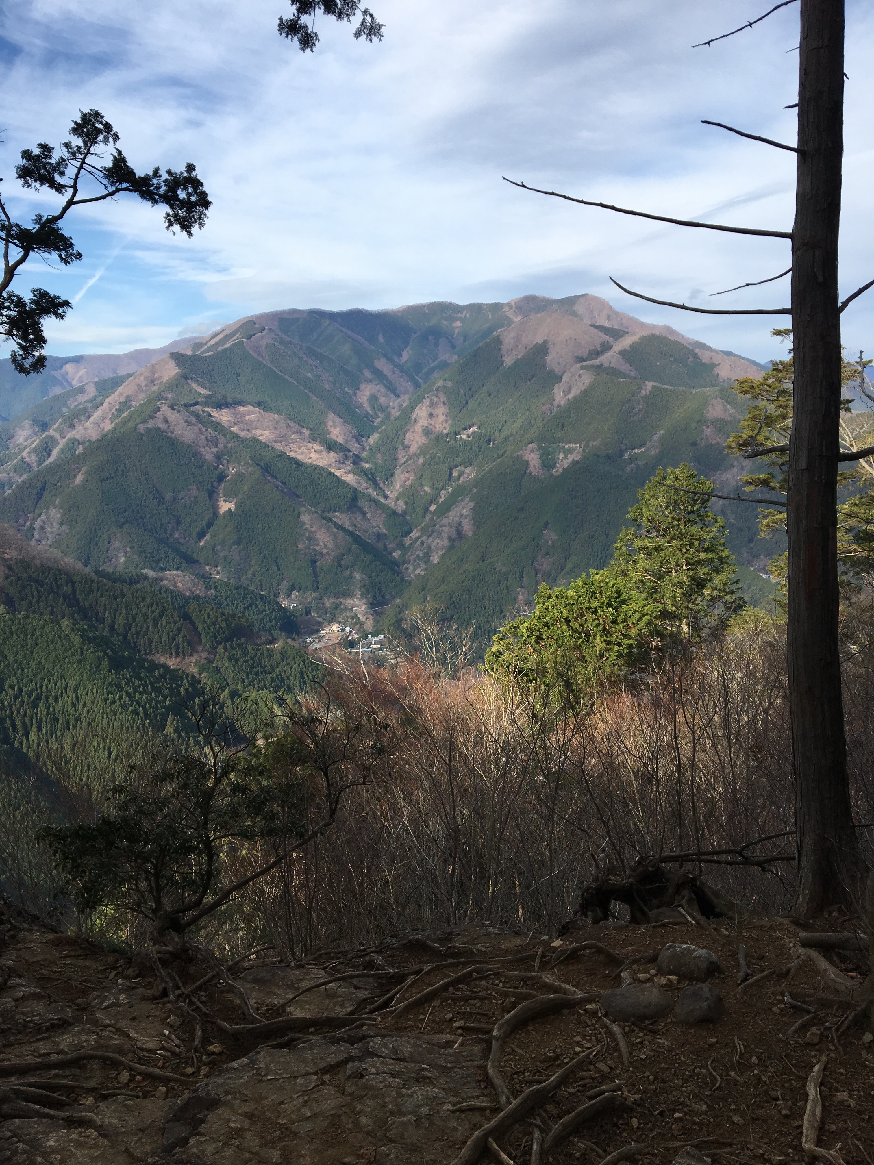
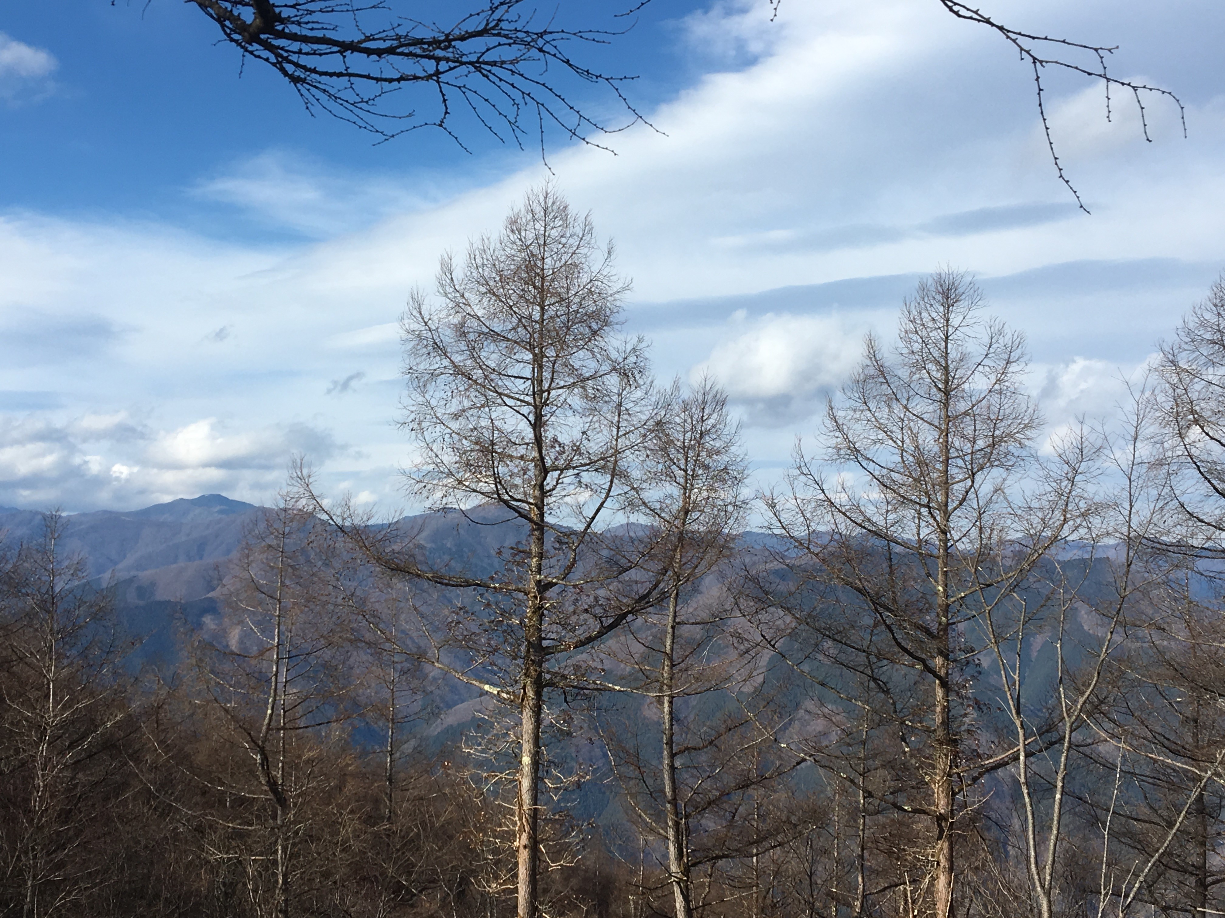
After a while it is possible to get some glimpses of nice looking views of the opposite hillsides and ridgelines through the trees, here is a view looking back at Oku-tama :
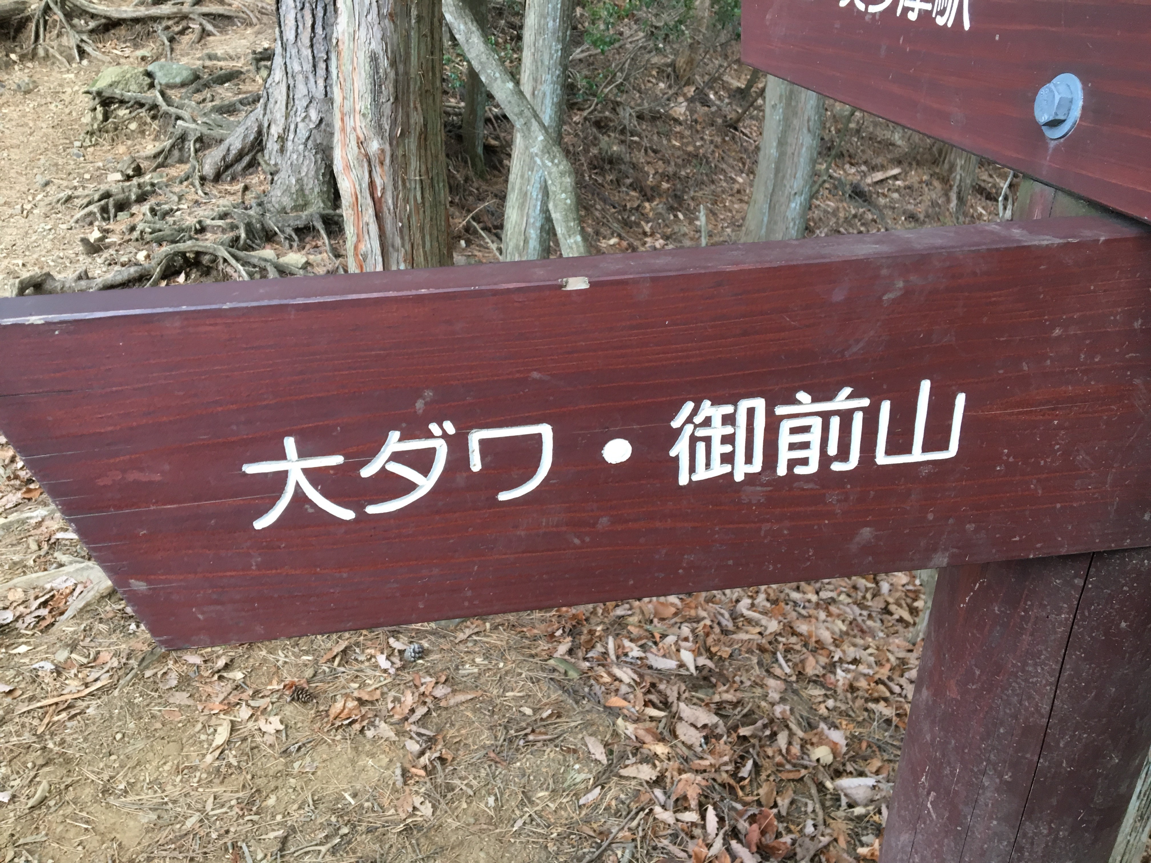
Keep following signs to 大ダワ ( odawa ), 鋸山 ( nokogiri-yama), and 御前山 ( Gozen-yama )
About 1/3rd of the hike, and near to Nokogiri-yama at approx 900m elevation there is choice of whether to go to the peak ( approx 1100m ), or traverse around it and onto Odawa ( just after Nokogiri-yama ), and Gozen-yama. This hike traversed around, it is probably something like 30mins additional time if going to the peak and back down again.
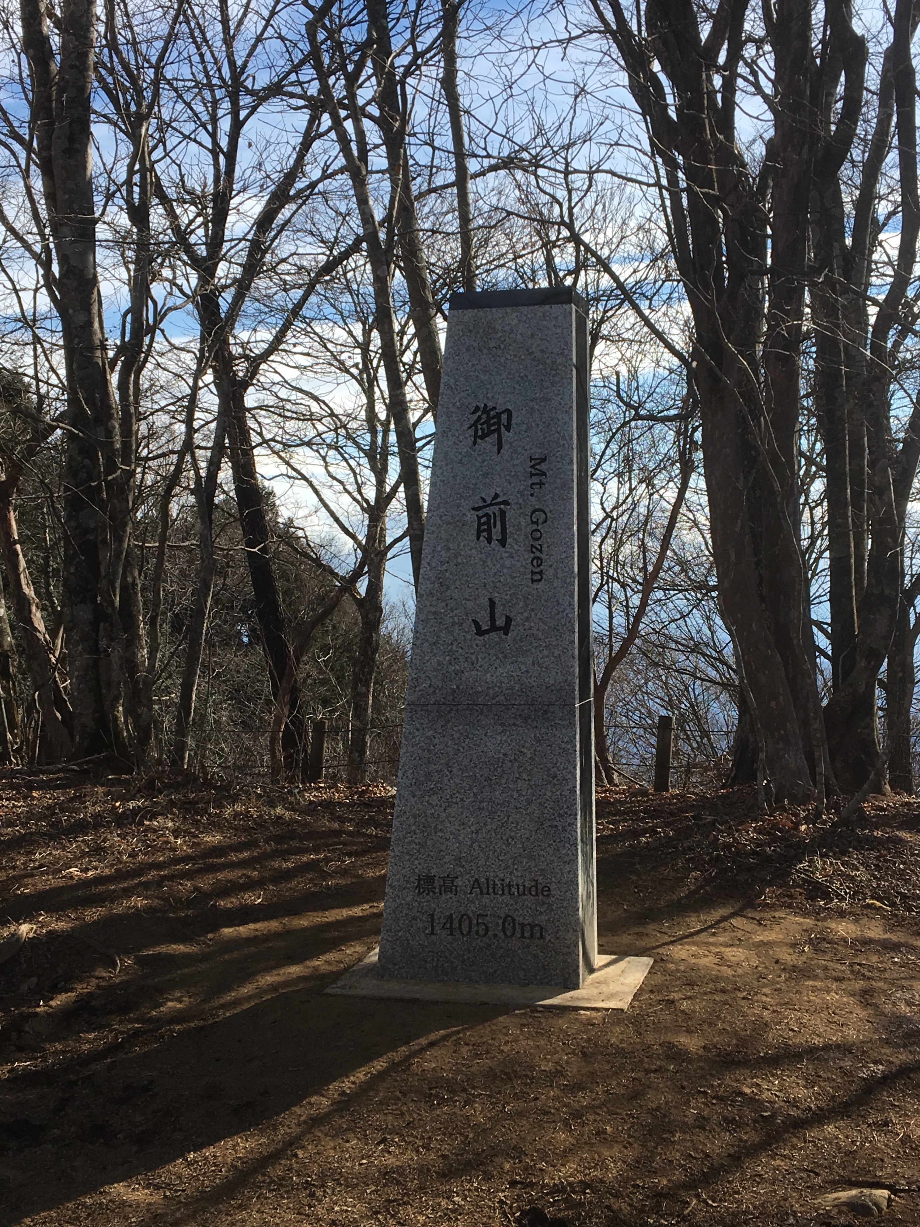
The trail between Nokogiri-yama and Gozen-yama feels long with many ups and down along the winding ridge, but keep going and eventually, 2/3rds into the hike is Mt Gozen ( Gozen-yama ), the peak is nice area with benches to take a rest and grab a snack, and some great views
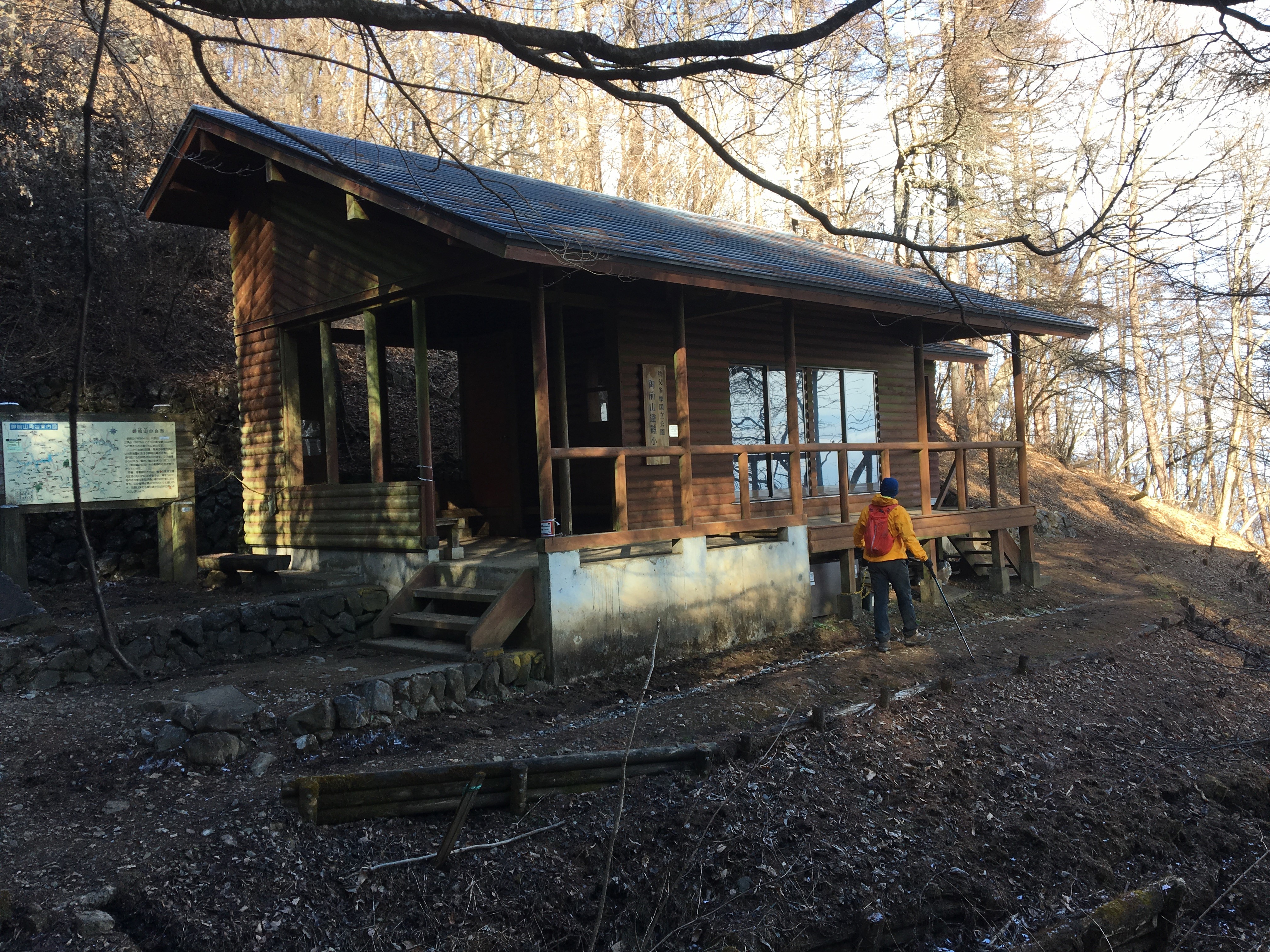
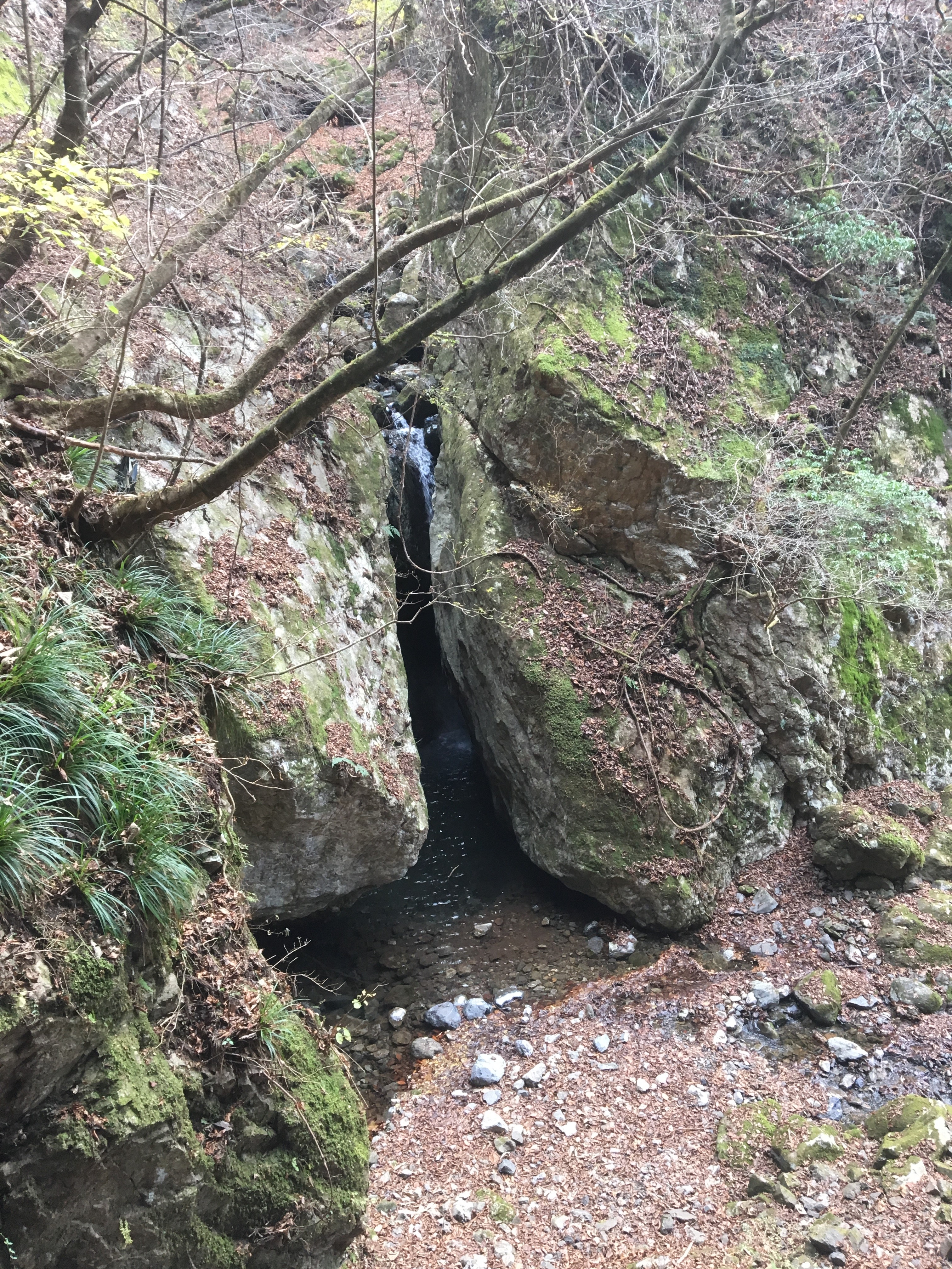
Head back the way you came a short distance, to a large-ish shelter, and continue past to start descending. The trail slowly winds its way downhill through a long valley following a rocky narrow river, with serveral waterfalls along the way.
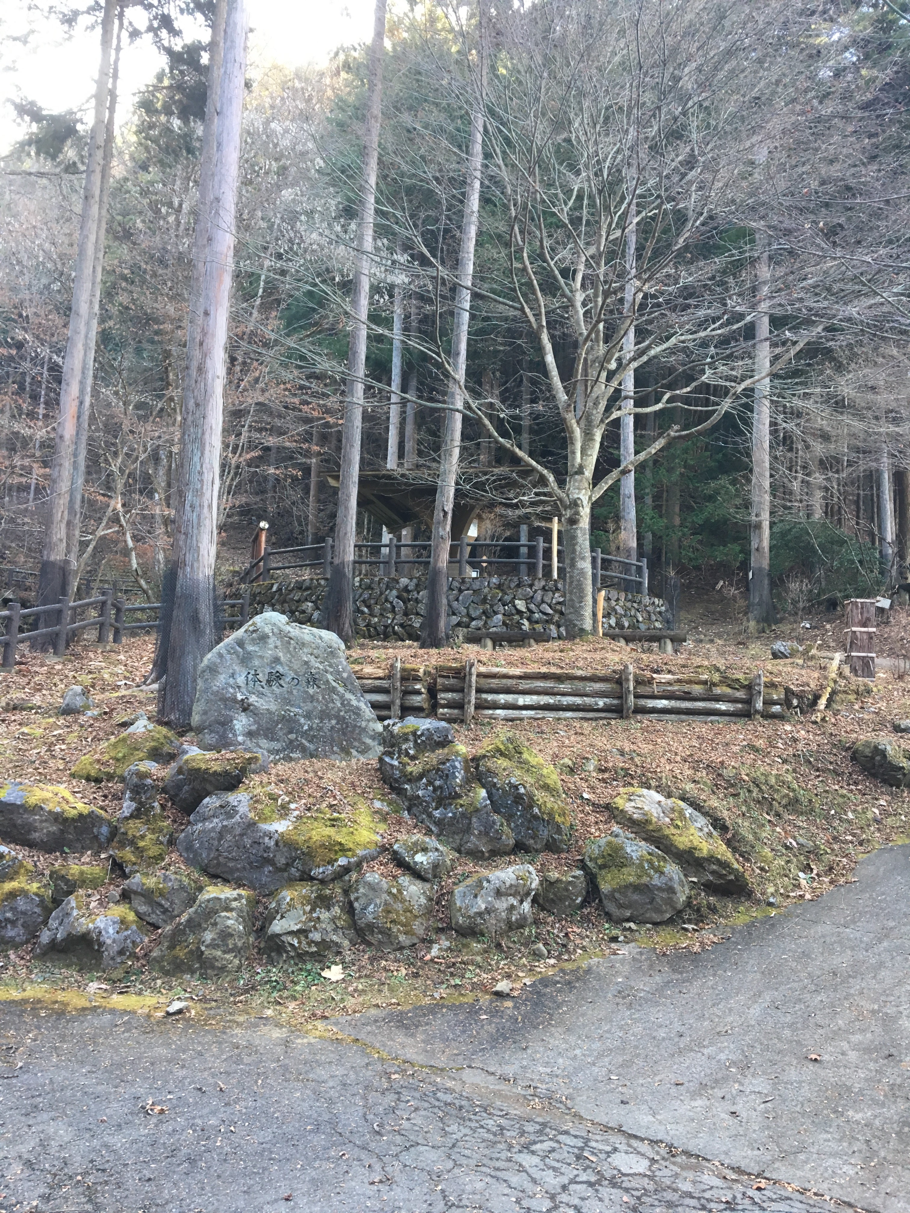
A few times the trail will give way to a road, but look for the signs to get back onto the trail as this is a quicker more direct route.
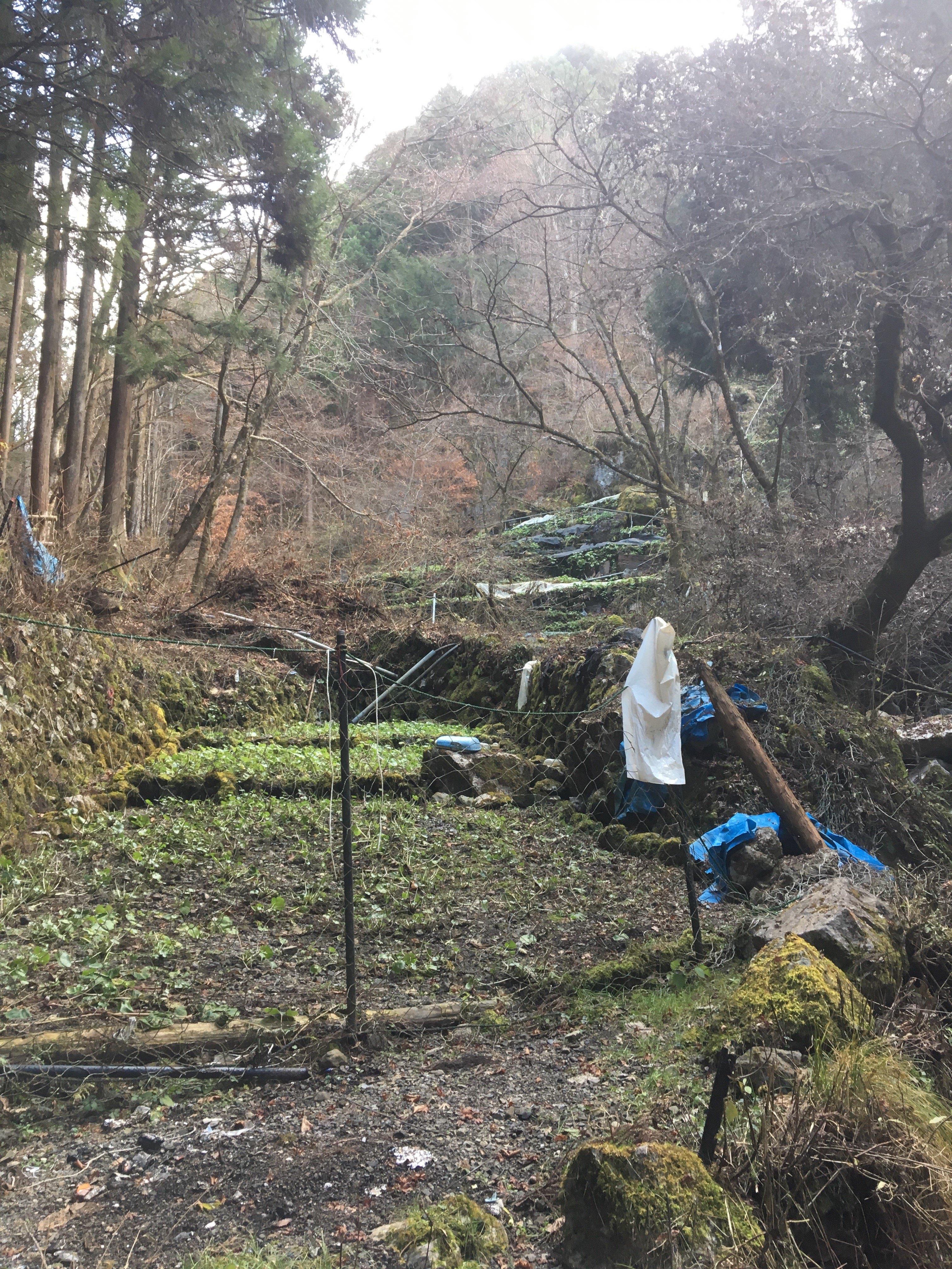
Keep a look out for the wasabi farm nestled in the valley and cut into the hillside, on the left handside of the trail. The farm makes use of the plentiful river water flowing down the valley, to irrigate the wasabi crop :
Eventually the trail gives way to the final stretch of road that leads to the bus stop, about 1km walk down hill. There is a tunnel to the right, and a bridge to the left, cross to the other side and walk left to the other end of the bridge to find the bus stop to catch a bus back to Oku-tama station and the train back to Shinjuku, Tokyo. The bus caught arrived at the bridge-bus-stop at quarter-past the hour.
Route Overview and Profile
