Takigoyama - The River Hike
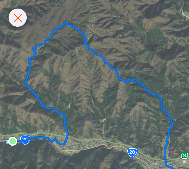
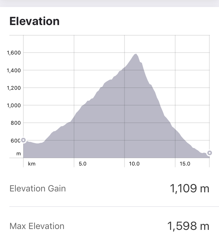
Location - Hatsukarimachi (初狩町) area, Yamanashi Start - Sasago Train Station(笹子駅) Finish - Hatsukari Train Station (初狩駅) Walking Time - Approx 7 hours Difficulty : Moderate 4/5 - Approx 16km. Some steep sections, higher elevation upto 1600m.
Getting There
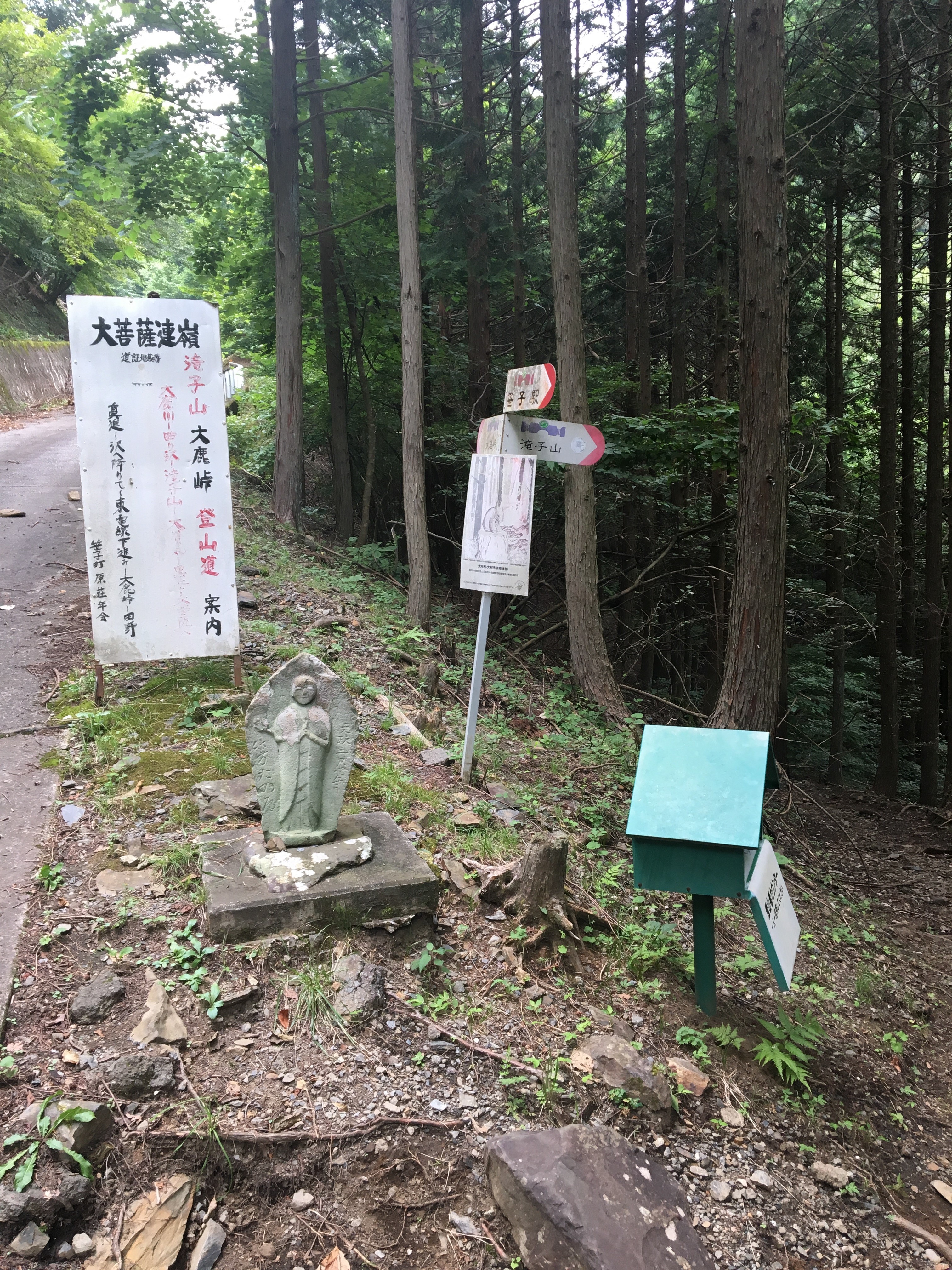
From Tokyo, take a JR Chuo line train from Shinjuku station, after approx 1 hour, change at Takao station and take a train to Sasago, about another hour. From Sasago station, head up the main road for a kilometer or so, there are a few bridges crossing the river to the left, keep on the main road until there is a small sign for Takigoyama ( 滝子山 ) at one of the bridges instructing to cross the bridge. After a little further along, the road becomes unmade, and a little further after that the trail starts on the right hand side and is signed.
The Hike
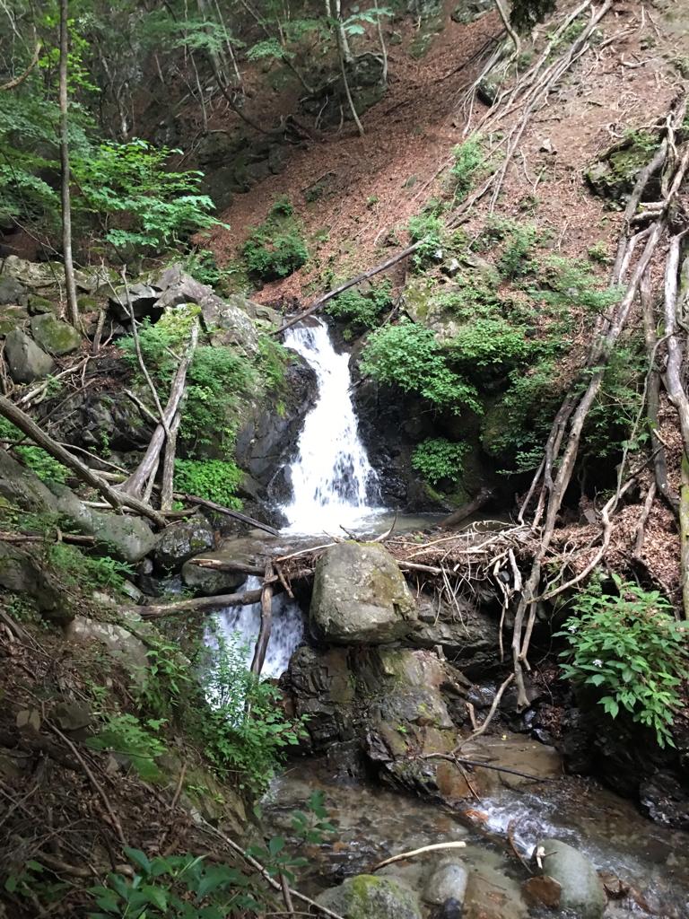
The hike to the Takigoyama peak is along a very pleasant forest trail that for much of its length follows a small but lively winding river. At the time of this hike, there were warnings at the station about recent bear sightings in the area, but none were seen. Some of the trail up to the peak is quite narrow and steep with muddy sections. Overall though it is a reasonably well kept trail, with not too many long steep sections.
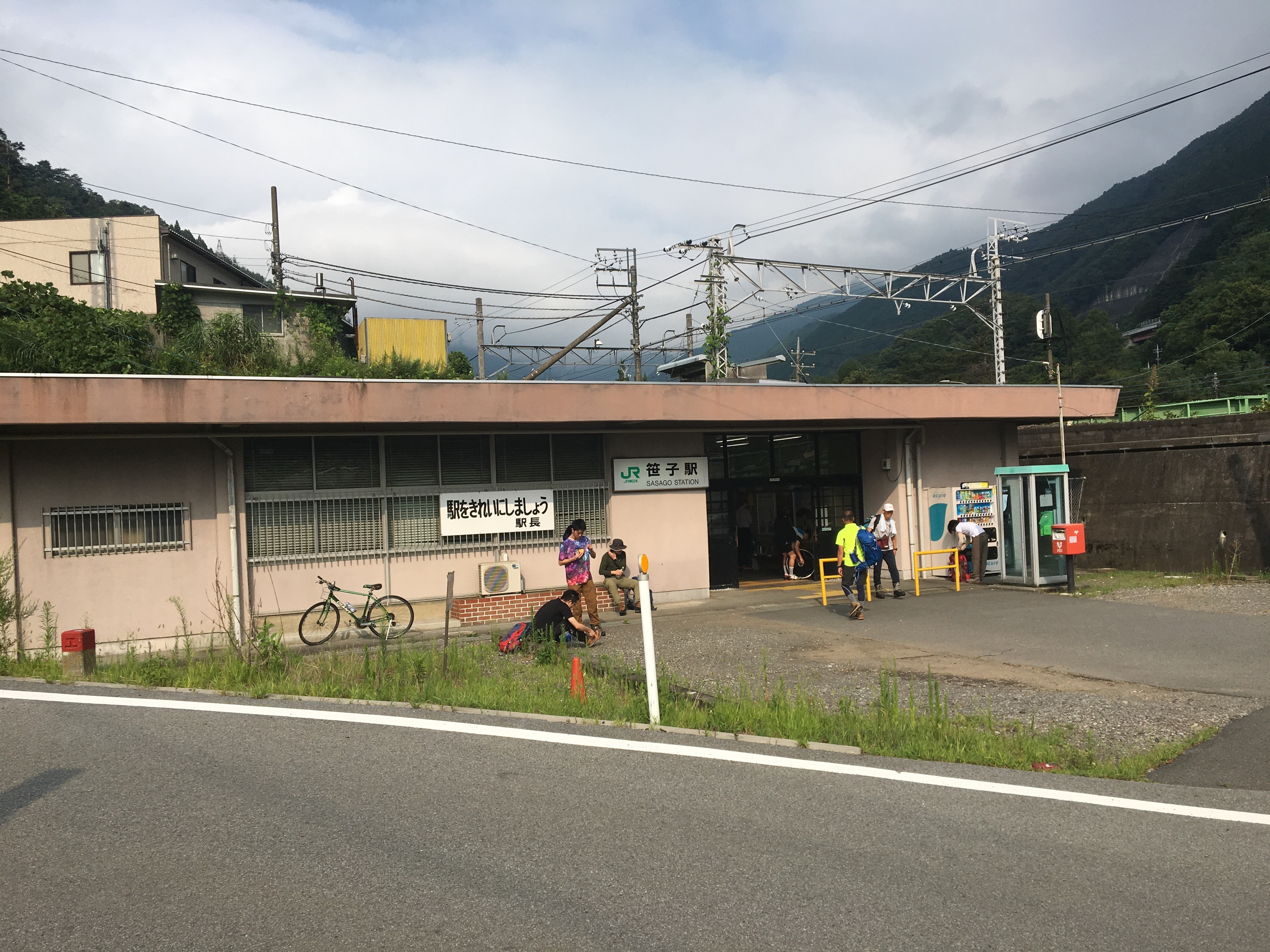
Sasago train station
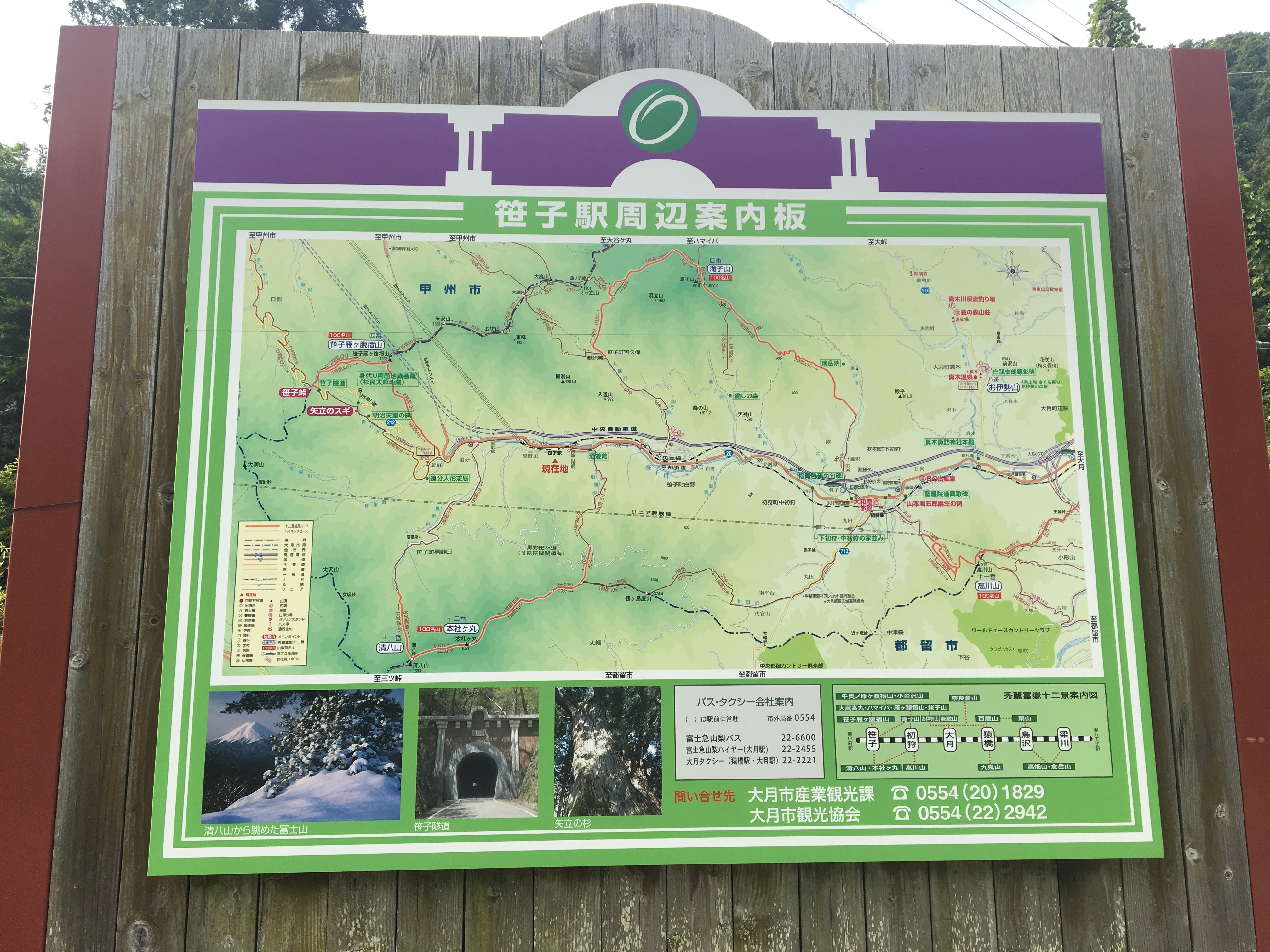
Large map of the area near Sasago train station
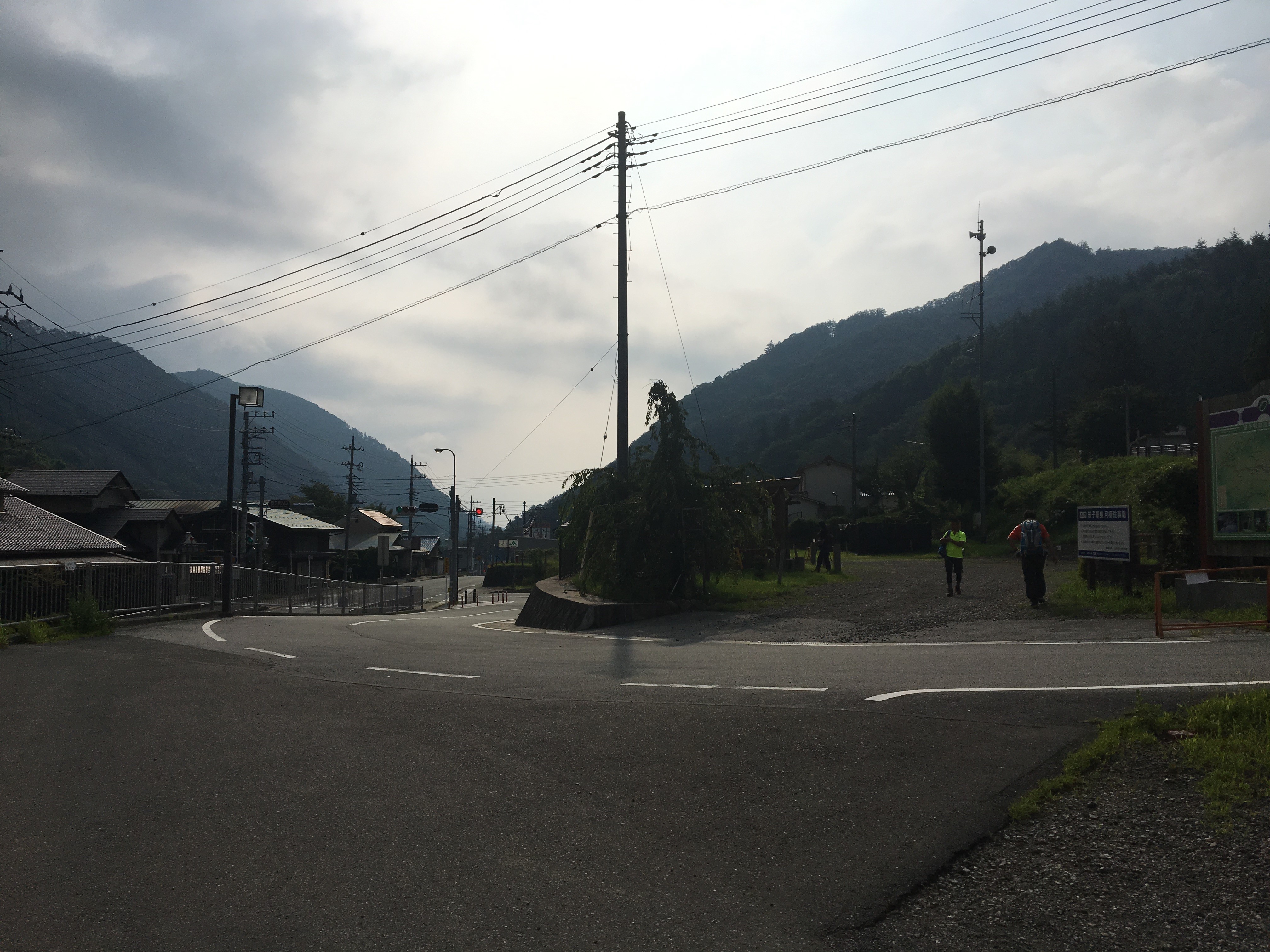
Early Morning, the road leading away from Sasago station
From the road leading to the start of the trail, looking back towards the train station
The start of the trail
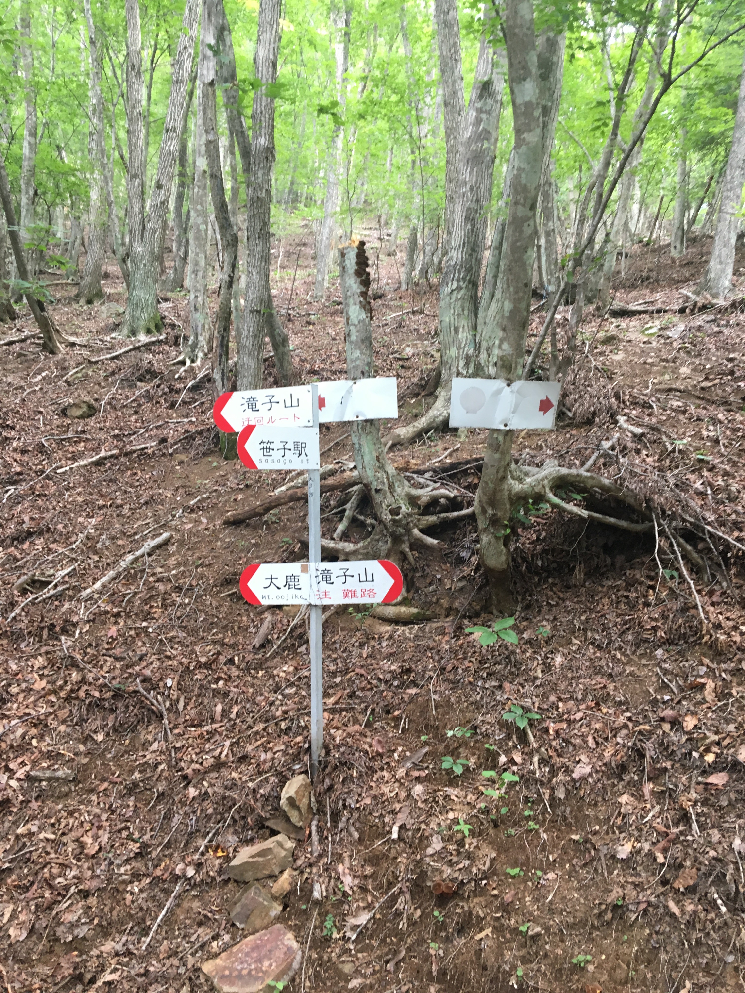
The trail is well signed, but the signs are quite small, take care choosing the correct path at times. Keep following signs for Takigoyama ( 滝子山 )
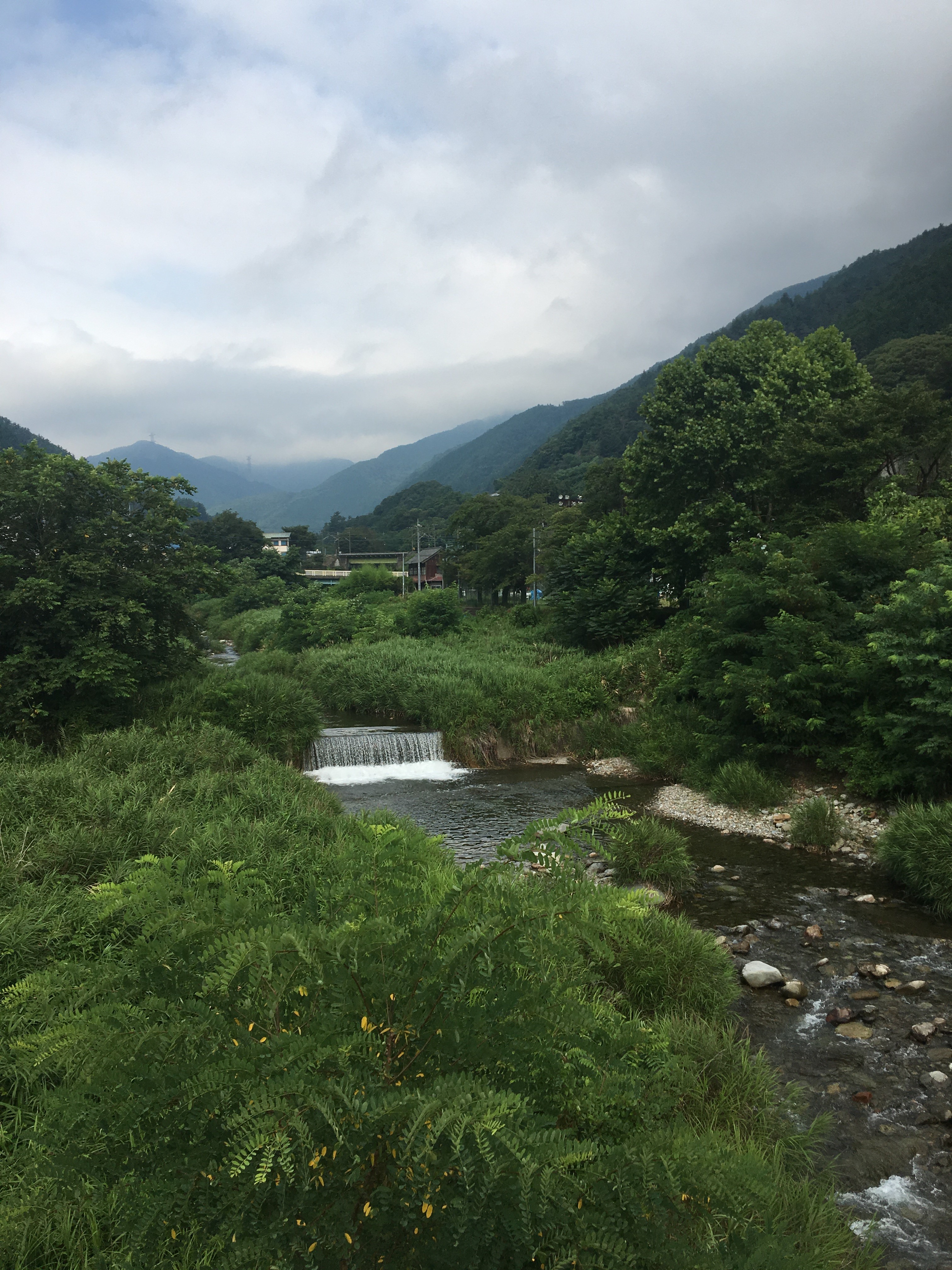
The river running alongside the trail
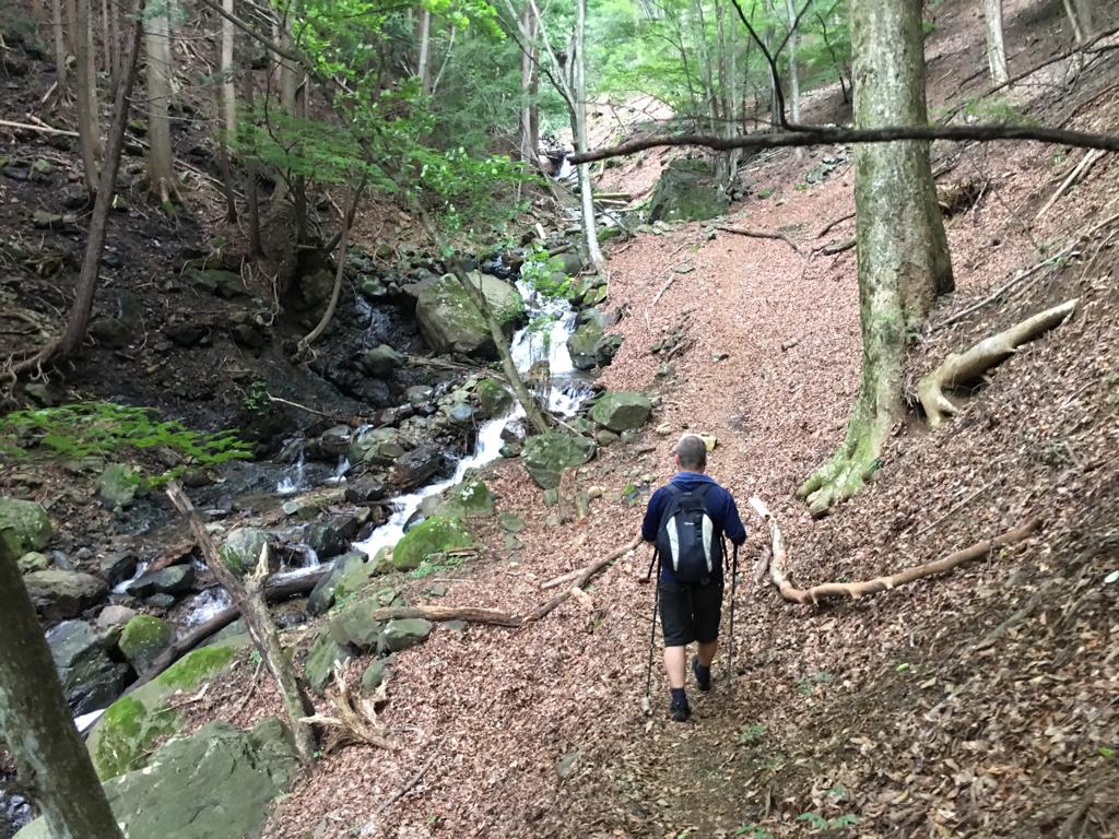
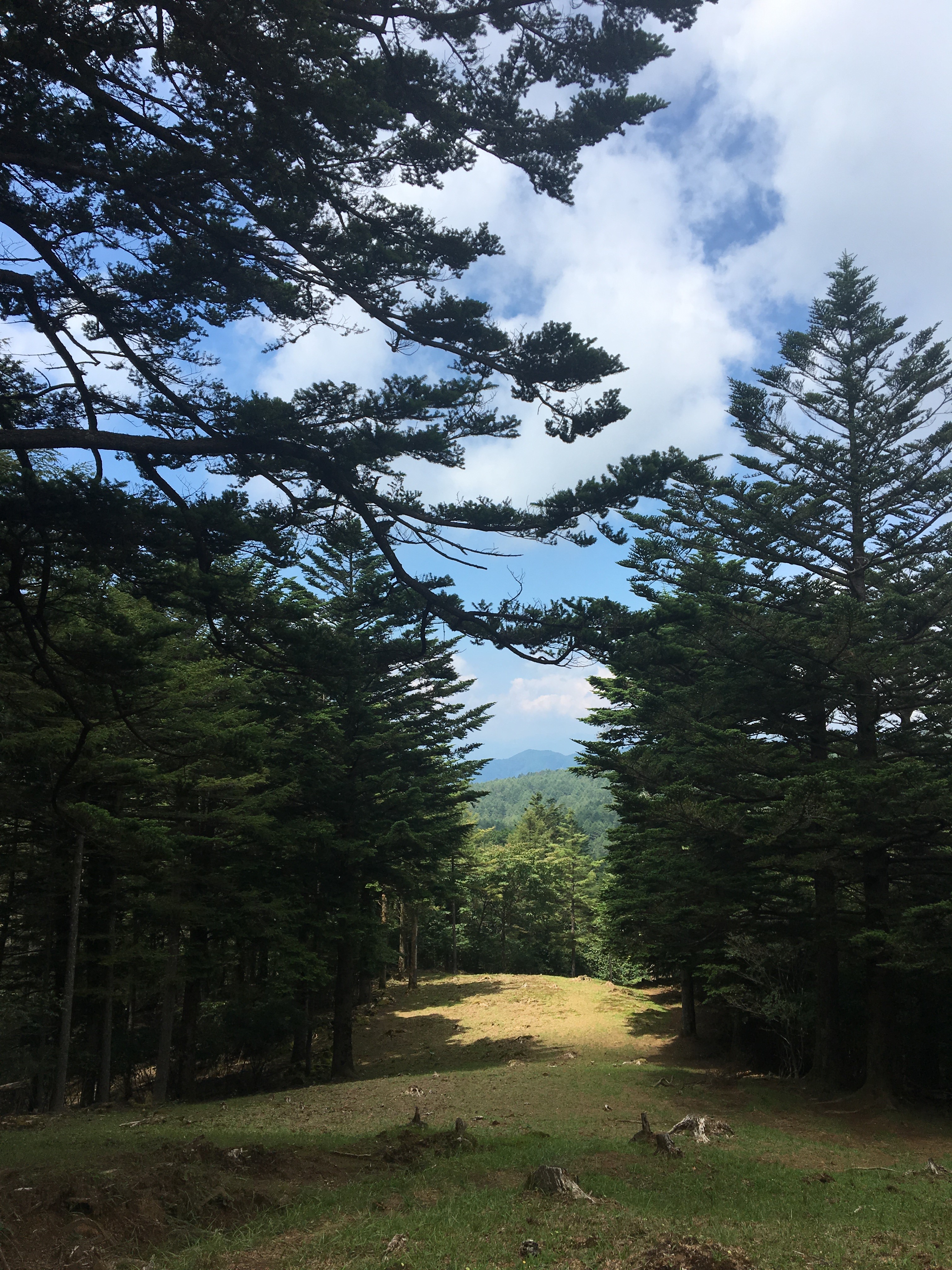
Close to the top of the trail, there is wide clearing that runs from a few hundred metres, this photo is looking back down the trail.
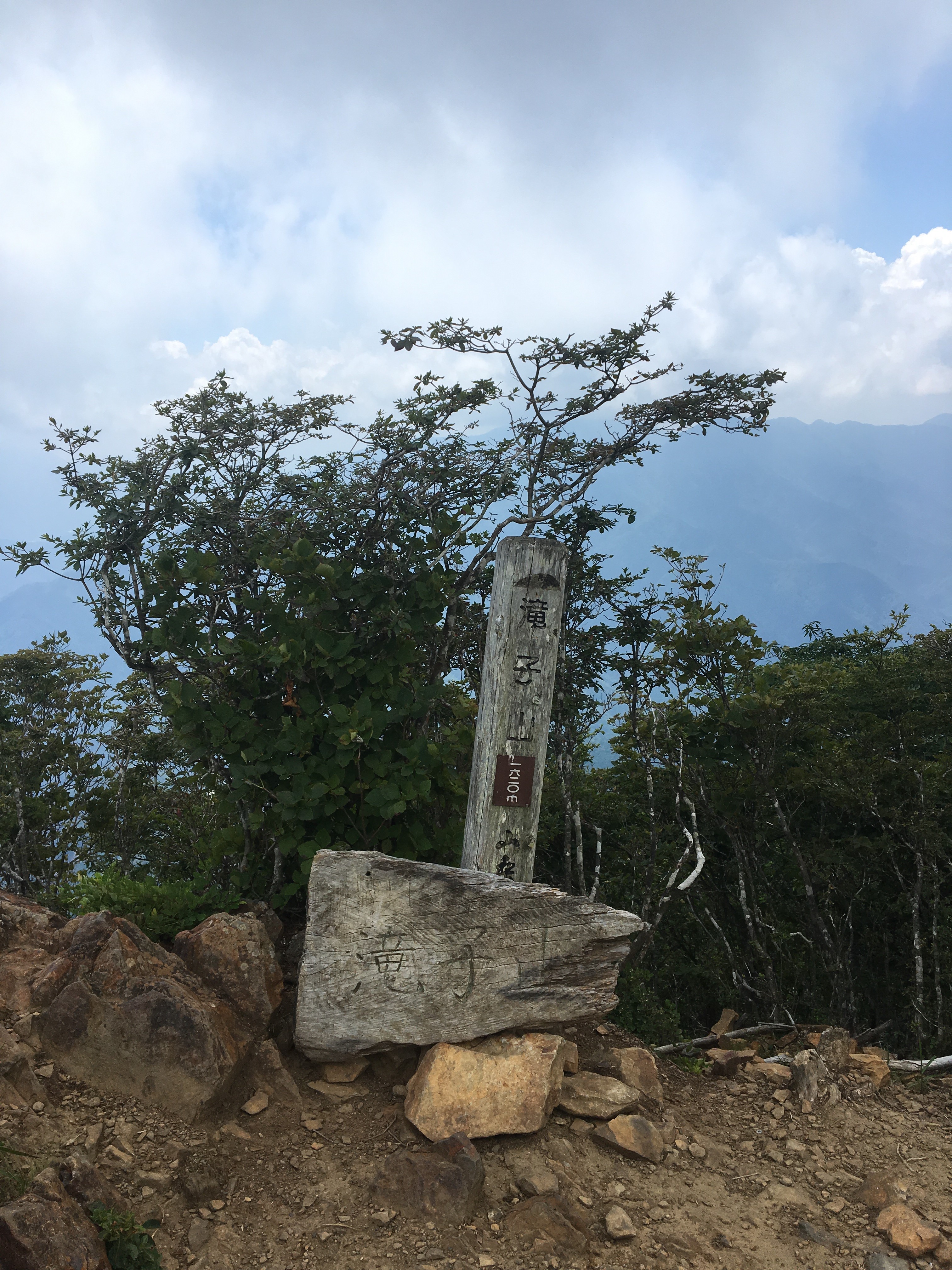
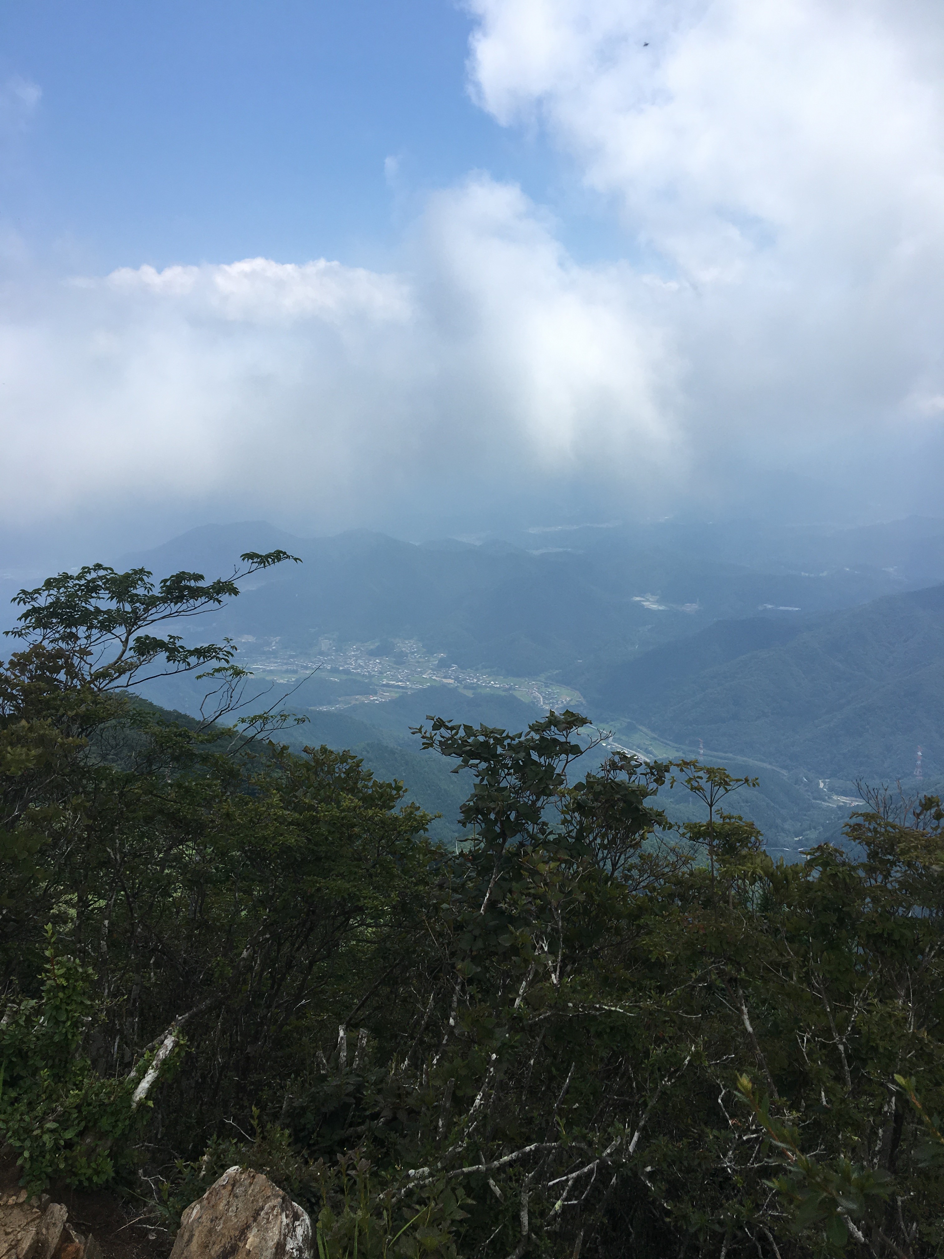
At the top. On this hike, it was too cloudy, but on a clearer day there are good views of Mt Fuji which is a little further south in the same general area.
From the peak head back towards the way up but instead of taking that same trail carry on past and pick up a new trail back to Hatsukari. The trail down is quite steep in places with steps, and more rocky than the way up. About halfway down the trail picks up another nice river. At Hatsukari it is another 20 mins walk or so through the village to get to the station.
Route overview and elevation profile :
